Land for Sale in Spanish Fork, Utah
Utah County, Spanish Fork, UT 84660
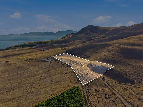
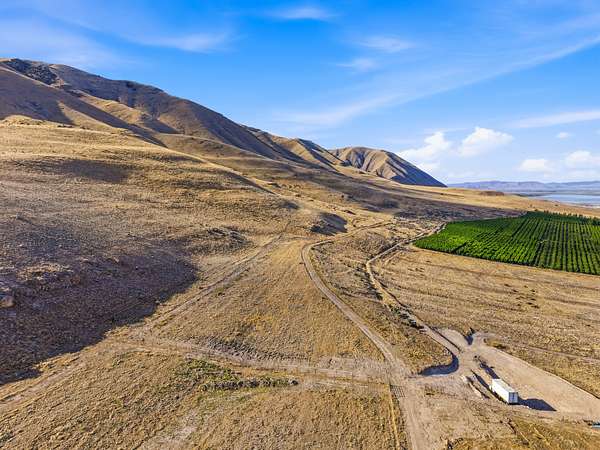
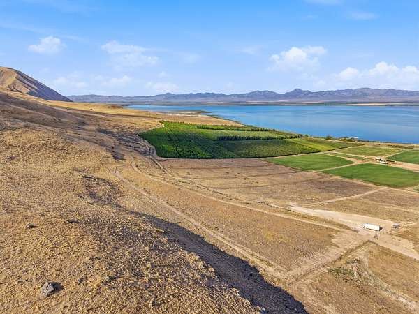
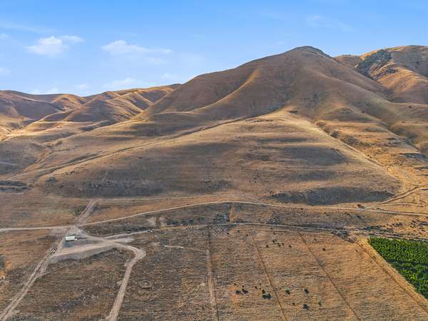
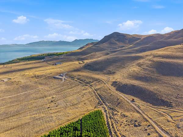
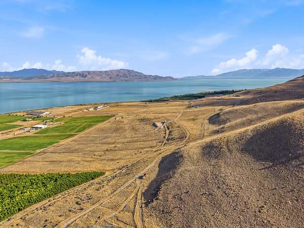
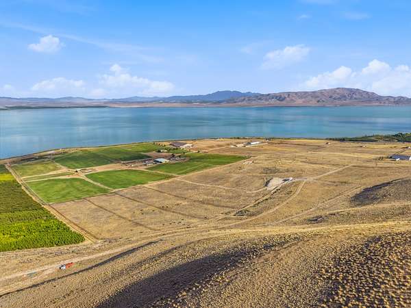
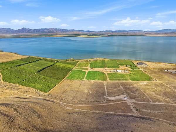
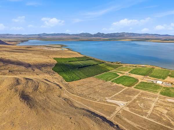
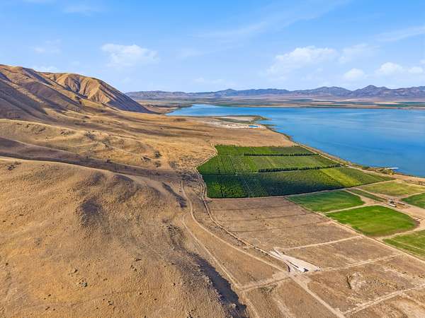
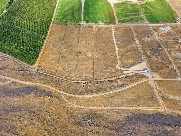
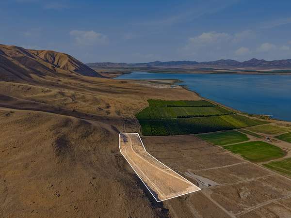
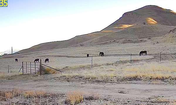
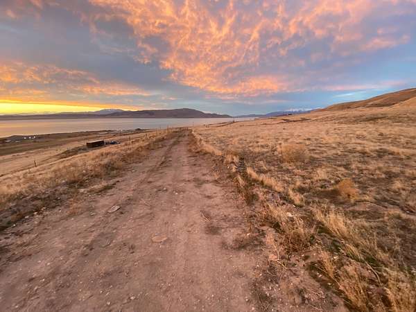
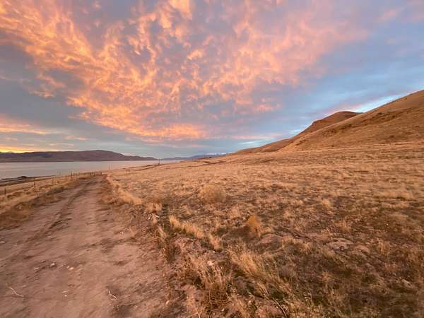
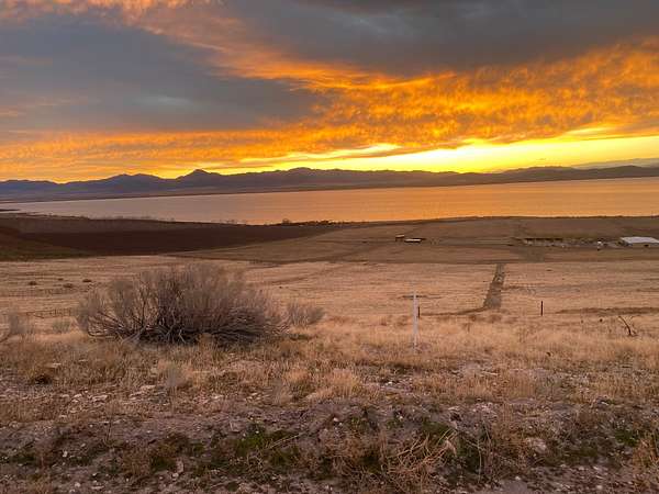
RA5 Zoning. Whether you're looking for a place to raise livestock, grow crops, establish an agricultural business, or store equipment, this property offers the flexibility and space to bring your vision to life. One structure is permitted on the property, providing an opportunity for a barn, agricultural building, or other approved use. The property also includes a 53-foot-wide easement that may be relocated at the buyer's discretion, subject to applicable approvals. Enjoy peaceful rural surroundings while remaining just minutes from Utah Lake and the conveniences of Utah County. Buyer is advised to verify all zoning, land use, building allowances, easements, and other information with the applicable county departments.
Location
- County
- Utah County
- Zip code
- 84660
- School district
- Nebo
- Elevation
- 4,600 feet
Property details
- Acreage
- 6.8 acres
- Zoning
- RA5
- Access
- Private road
- Showing
- Contact for permission
- Posted
Property taxes
- 2026
- $700
Parcels
- 28-012-0137
- 28-013-0035
Legal description
Part of Section 21, Township 8 South, Range 1 East of the Salt Lake Base and Meridian, Utah County,
Utah, described as follows:
Commencing at the Northeast corner of Section 21, Township 8 South, Range 1 East of the Salt Lake
Base and Meridian which is a 1911 GLO BRASS CAP, thence N89°39'59"W 2632.63 feet along the
Section line to the North ¼ corner of Section 21 a 1990 Utah County BRASS CAP; thence
N89°39'29"W 1316.68 feet to the West 1/16th corner of said Section 21; thence S0°02'39"W 2110.10
feet along the West 1/16th line of said Section 21; thence N90°00'00"W 602.83 feet to the POINT OF
BEGINNING and running thence S0°02'50"W 1123.61 feet to the North line of of Deed Entry
145057:2020; thence N90°00'00"W 372.60 feet along said deed line; thence N29°47'31"E 26.95 feet;
thence N17°22'38"E 410.96 feet; thence N1°36'09"W 192.35 feet; thence N89°47'29"W 5.49 feet to the
Southeast corner of Deed Entry 139109:2020; thence N0°00'00"E 515.72 feet along said deed line and
then along Deed line Entry 139148:2020 to the Southwest corner of Deed Entry 113727:2022; thence
N90°00'00"E 248.27 feet along said deed line, to the Point of Beginning containing 6.874 Acres.
SUBJECT TO: A 28 foot wide access easement for ingress and egress, described as follows:
Commencing at the Northeast corner of Section 21, Township 8 South, Range 1 East of the Salt Lake
Base and Meridian which is a 1911 GLO BRASS CAP, thence N89°39'59"W 2632.63 feet along the
Section line to the North ¼ corner of Section 21 a 1990 Utah County BRASS CAP; thence
N89°39'29"W 1316.68 feet to the West 1/16th corner of said Section 21; thence S0°02'39"W 2110.10
feet along the West 1/16th line of said Section 21; thence N90°00'00"W 602.83 feet to the POINT OF
BEGINNING and running thence S0°02'50"W 28.00 feet; thence N90°00'00"W 248.25 feet; thence
N0°00'00"E 28.00 feet; thence N90°00'00"E 248.27 feet, to the point of beginning
Owner financing
| Finance price | Down payment | Balloon | Term | Rate | Payment | Est total |
|---|---|---|---|---|---|---|
| $290,000 | 50% ($145,000) | $135,600 | 360 months | 3% | $40/mo | $98/mo |
- Taxes and expenses
Buyer pays
Details and features
Lot
- View
- Lake, Mountain
- Features
- Level
Property utilities
| Category | Type | Status | Description |
|---|---|---|---|
| Water | Other | Available | 1 Water Share is available |
Listing history
| Date | Event | Price | Change | Source |
|---|---|---|---|---|
| Aug 6, 2026 | New listing | $290,000 | — | Listing agent |