Land for Sale in Gulf Shores, Alabama
State Highway 180, Gulf Shores, AL 36542
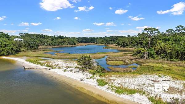
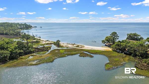
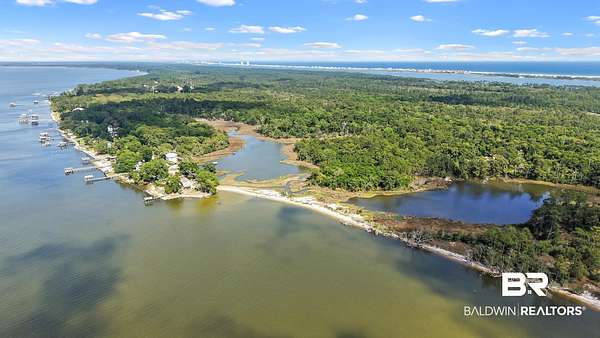
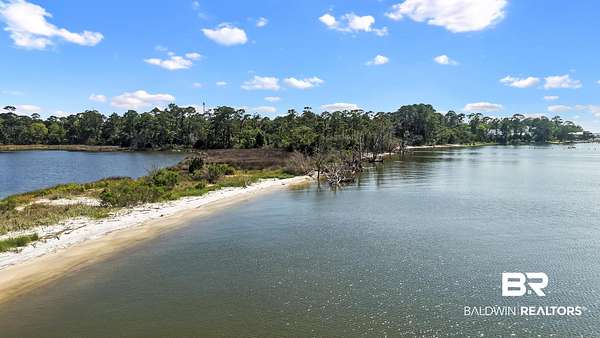
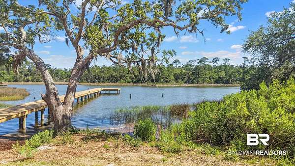
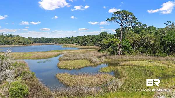
Rare opportunity to acquire a legacy waterfront tract in the historic Shellbanks area of Fort Morgan, originally subdivided in 1858 and held by the same family for more than 100 years. This +/-23-acre property is located at the northwest corner of Council Lane and State Highway 180 and offers expansive views across Mobile Bay, Shellbanks Bayou, and Collins Bayou. The property features a remarkable natural setting with navigable water access, white sandy beach frontage, tidal marsh, mature coastal vegetation, and abundant wildlife. The property is currently zoned RSF-1 and offers potential as a private homesite, estate retreat, or conservation-oriented waterfront holding. Subject to rezoning and all applicable approvals, the site may also support future uses that complement the area's tourism traffic, the site's waterfront setting, beach frontage, bayou frontage, and navigable water access. The AADT traffic count is 10,216 near this location. A recent wetland assessment identified approximately 7.47 acres of uplands within three potential improvement areas, including areas of approximately 3.38 acres, 3.17 acres, and 0.92 acres. The wetland sketch identifies the overall subject property at approximately 23.05 acres, with approximately 15.58 acres of USACE/ADEM/County wetlands.This location is positioned within the growing west Fort Morgan corridor, less than one mile from the highly successful Jesse's on the Bay Restaurant and along the new bike path. The property is also located across State Highway 180 from the Bon Secour National Wildlife Refuge, offering convenient access to protected coastal habitat, trails, public beach access, and Gulf-side recreation. Few properties offer this combination of size, privacy, white sandy beach frontage, navigable water access, bay and bayou views, natural habitat, and proximity to both Mobile Bay and Gulf beaches. Buyer to verify all information during due diligence.
Location
- Street address
- State Highway 180
- County
- Baldwin County
- Zip code
- 36542
- Community
- Baldwin
- Elevation
- 16 feet
Directions
From the intersection of Highway 59 and State Highway 180/Fort Morgan Road in Gulf Shores, travel west on State Highway 180/Fort Morgan Road toward Fort Morgan. Continue west for approximately 13 miles. The property is located on the northwest corner of State Highway 180 and Council Lane.
Property details
- Acreage
- 23 acres
- Zoning
- SingleFamily
- MLS #
- BCAR 399092
- Posted
Property taxes
- Recent
- $34
Parcels
- 05-68-06-13-0-000-036.000
Legal description
25 AC(C) BEG AT INTER OF N ROW OF DIXIE GRAVES PKWY & S LINE OF SEC 13-9-2 TH W TO SW COR OF SEC 13 TH N TO BON SECOUR B Y TH E'LY ALG SD BY HAZEL COUNCIL LANDS SUB TH FOLLOWING THE MEANDERINGS OF STRONG BY E'LY TO E LINE OF LOT 22 HAZEL COU NCIL LANDS TH N'LY 185'(S) TH E'LY 100' TH S 34' TH E 841
Details and features
Listing
- Type
- Land
Lot
- Waterfront
- Yes
Nearby schools
| Name | Type |
|---|---|
| Foley Elementary | Elementary |
| Foley Middle | Middle |
| Foley High | High |
Listing history
| Date | Event | Price | Change | Source |
|---|---|---|---|---|
| July 9, 2026 | New listing | $1,050,000 | — | BCAR |