
Images
Map
Street
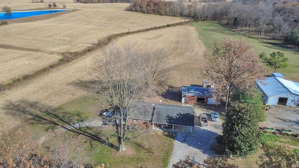
Agricultural Land for Sale in Dale, Indiana
State Road N 161, Dale, IN 47523
$95,000
12.6 acres
Active
$8.5k drop
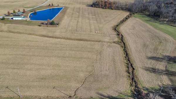
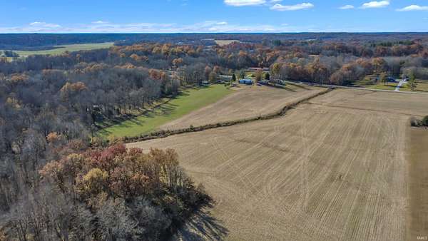
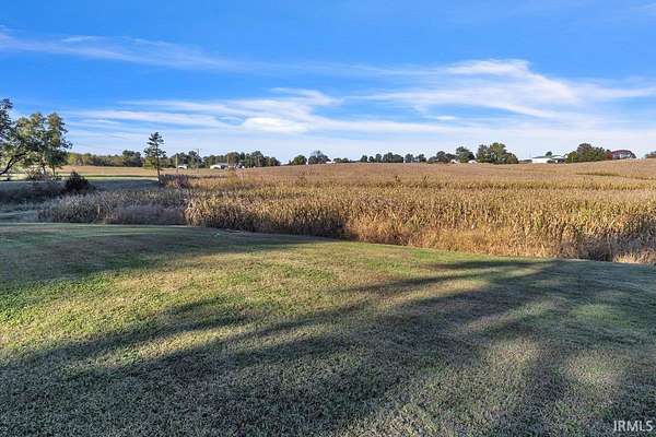
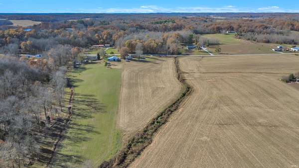
Est $660/mo12.55 acre rolling farm field currently planted with corn, leased to a local farmer. Possession after 2025 harvest. Use 11166 N SR 161, Dale for GPS. The field is north of the house, close to the ditch.
Location
- Street address
- State Road N 161
- County
- Warrick County
- School district
- Warrick County School Corp.
- Elevation
- 440 feet
Directions
From I-69/I-64: East to Lynnville Exit towards Lynnville Left); Right in .3 mile on IN-68 West; 11 miles to Right on IN-161; approx half mile on left is the land. Park in next driveway.
Property details
- Acreage
- 12.55 acres
- MLS #
- SWAOR 202542079
- Posted
Property taxes
- Recent
- $239
Parcels
- 87-07-04-300-032.000-016
Legal description
N 1/2 SW SW S4 T4 R6 12.55 A
Details and features
Listing
- Type
- Land
- Franchise
- RE/MAX International
Nearby schools
| Name | Type | District |
|---|---|---|
| Lynnville | Elementary | Warrick County School Corp. |
| Tecumseh | Middle | Warrick County School Corp. |
| Tecumseh | High | Warrick County School Corp. |
Listing history
| Date | Event | Price | Change | Source |
|---|---|---|---|---|
| Dec 11, 2025 | Back on market | $95,000 | — | SWAOR |
| Dec 2, 2025 | Under contract | $95,000 | — | SWAOR |
| Nov 11, 2025 | Price drop | $95,000 | $8,500 -8.2% | SWAOR |
| Oct 17, 2025 | New listing | $103,500 | — | SWAOR |
Payment calculator
Contact listing agent
By submitting, I agree to the terms of use and to be contacted by . Message and data rates may apply.