Land for Sale in Burns, Oregon
TL 600 Hwy 205 S Burns, OR 97720
Images
Map


$25,000
25 acres
Active sale agoEst $186/mo
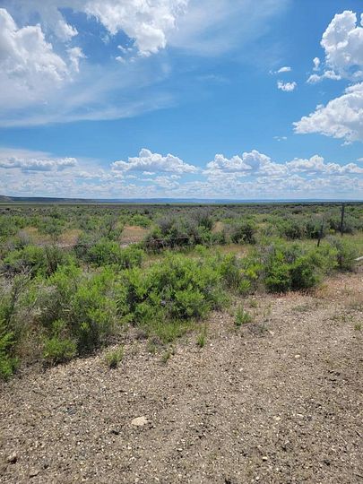
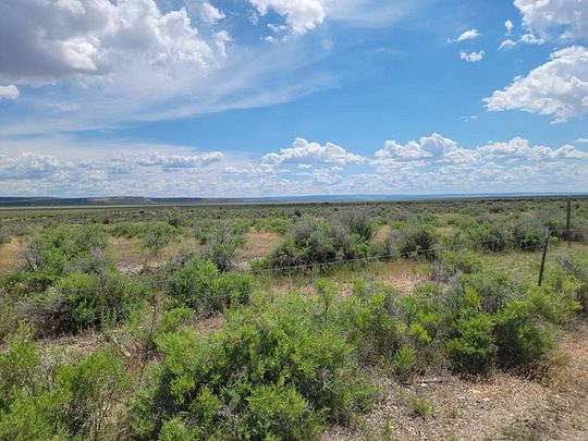
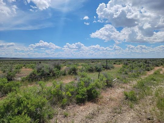
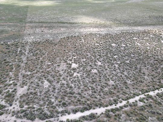
This nice flat 25 acre parcel is 23 miles from Burns and borders the Malheur Refuge. It's partially fenced, has easy access and is waiting for your vision. So, build your forever home, move one on, use it for recreation or expand your grazing area. You will love the peace and quiet and the wide open views. Power is conveniently close by. In order to build a home on this parcel you will need to apply for and get approved for a conditional use permit (CUP) from the county. You will also need to have a domestic well and septic tank installed on the property.
Location
- Street Address
- TL 600 Hwy 205 S
- County
- Harney County
- Elevation
- 4,108 feet
Property details
- MLS Number
- NYStateMLS 11186749
- Date Posted
Property taxes
- Recent
- $56
Parcels
- 1326.00S31.00E2600N-000000600
Detailed attributes
Listing
- Type
- Vacant Land
Lot
- Views
- Mountain, Scenic
Listing history
| Date | Event | Price | Change | Source |
|---|---|---|---|---|
| Sept 9, 2024 | Relisted | $25,000 | — | NYStateMLS |
| Sept 8, 2024 | Listing removed | $25,000 | — | — |
| June 6, 2024 | Relisted | $25,000 | — | NYStateMLS |
| June 2, 2024 | Listing removed | $25,000 | — | — |
| June 26, 2023 | New listing | $25,000 | — | MyStateMLS |
Payment calculator
Kristina Roberts
Country Preferred Realtors
Contact listing agent
By submitting, you agree to the terms of use, privacy policy, and to receive communications.