
Images
Map
Street
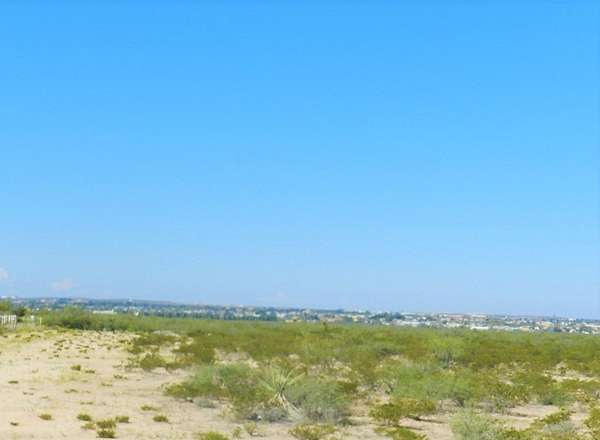
Land for Sale in Fort Stockton, Texas
US 290, Fort Stockton, TX 79735
$4,000,000
367 acres
Active sale
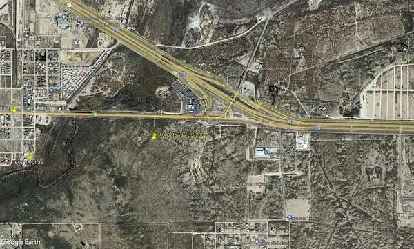
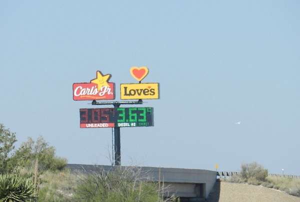
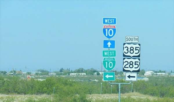
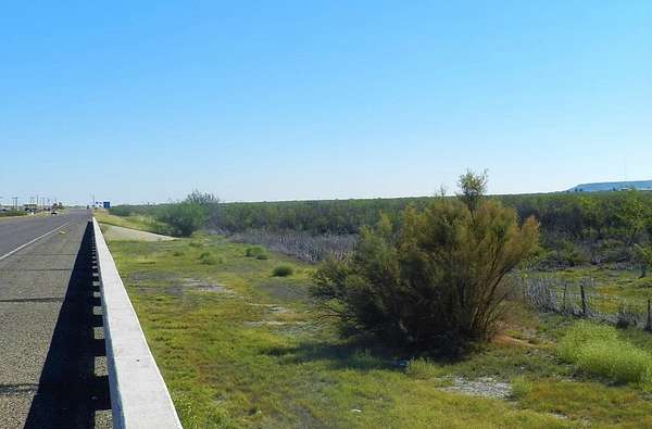
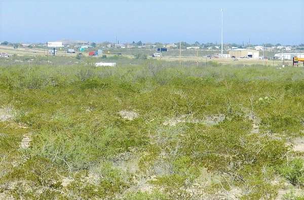
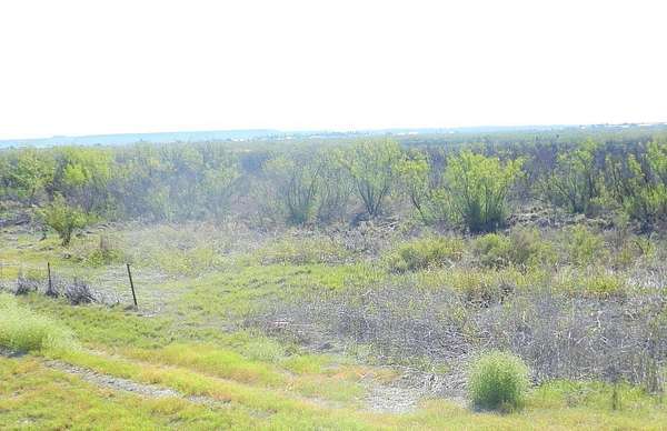
Est $27,007/moThis property is approximately 367 acres. The North property line has approximately 4700' frontage on (E. Dickinson Blvd/US Hwy 290/US Hwy 385). Of the 4700' frontage 3700' is out of a flood zone. Hwy 285. The East property line is adjacent to the Fort Stockton Industrial Park. The West property line is Comanche Creek and US 285. The South property line is Mallard Street.
Location
- Street address
- US 290
- County
- Pecos County
- Zip code
- 79735
- Community
- Fsil
- School district
- Fort Stockton ISD
- Elevation
- 2,982 feet
Property details
- Acreage
- 367 acres
- MLS #
- PBBR 50079382
- Posted
Property taxes
- Recent
- $503
Legal description
PT 4, N FSIL Parcel #44941,44942,44943,15718. Approx. 367 AC Pecos County, Fort Stockton, TX 79735
Details and features
Listing
- Type
- Land
- Address
- Us 290
Exterior
- Fencing
- Barbed Wire
Structure
- Water
- Public
- Sewer
- Public Sewer
Property utilities
| Category | Type | Status |
|---|---|---|
| Gas | Natural Gas | Available |
Nearby schools
| Name | Type | District |
|---|---|---|
| Alamo | Elementary | Fort Stockton ISD |
| Fort Stockton | Middle | Fort Stockton ISD |
| Fort Stockton High School | High | Fort Stockton ISD |
Listing history
| Date | Event | Price | Change | Source |
|---|---|---|---|---|
| Jan 15, 2025 | New listing | $4,000,000 | — | PBBR |
Payment calculator
Contact listing agent
By submitting, I agree to the terms of use and to be contacted by . Message and data rates may apply.