Images
Map
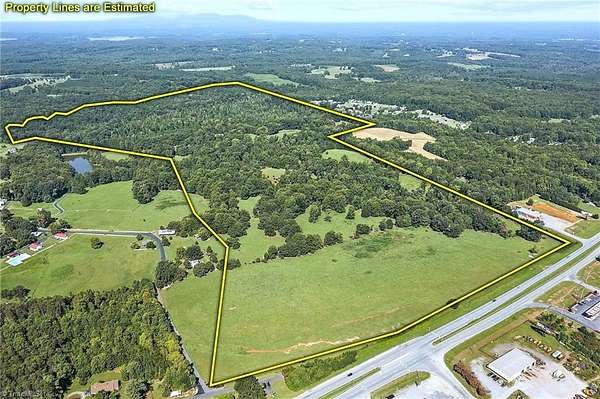
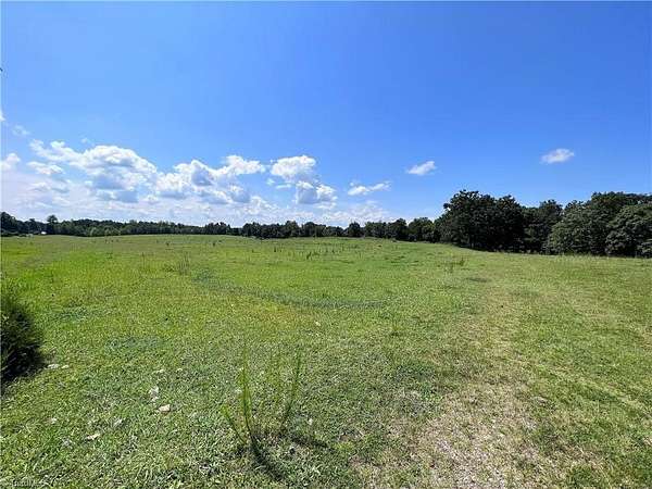
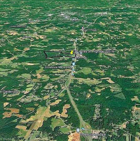
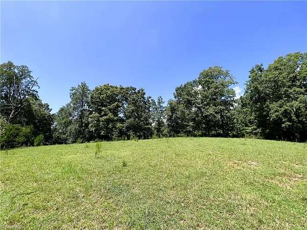
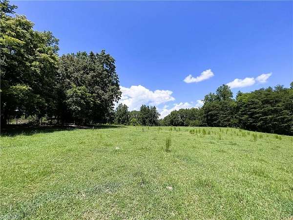
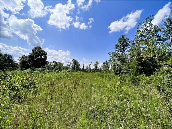
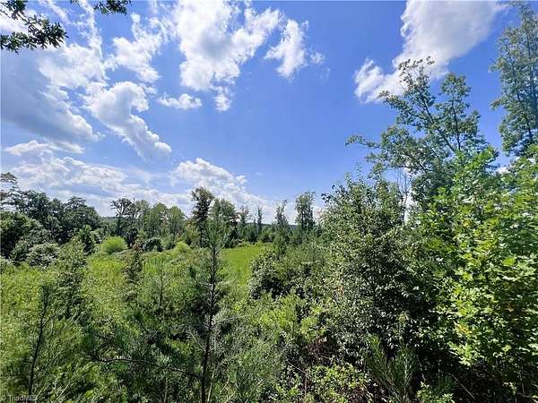
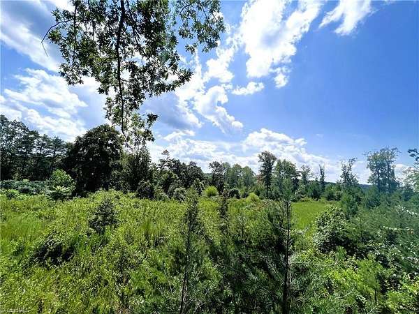
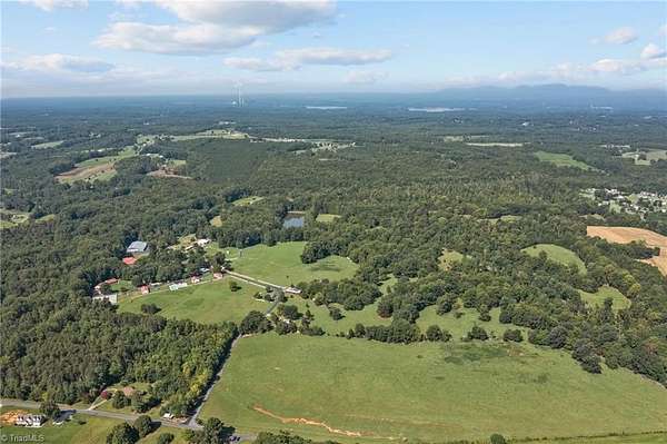
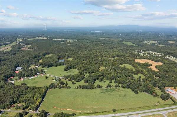
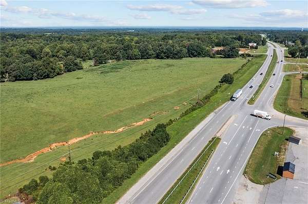
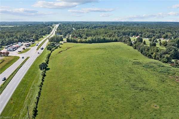
Mixed-Use Land for Sale in Stokesdale, North Carolina
US Highway 220, Stokesdale, NC 27357
$5,500,000
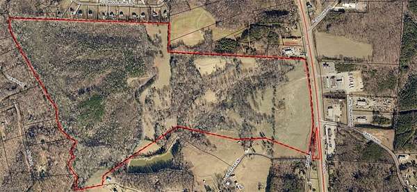
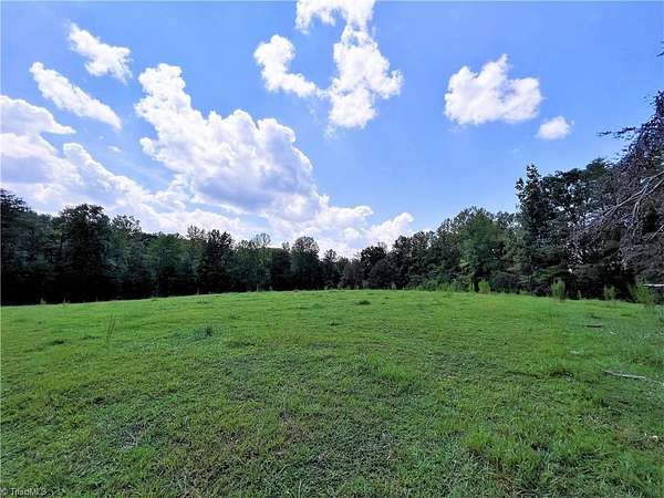
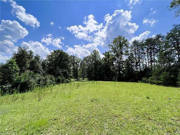
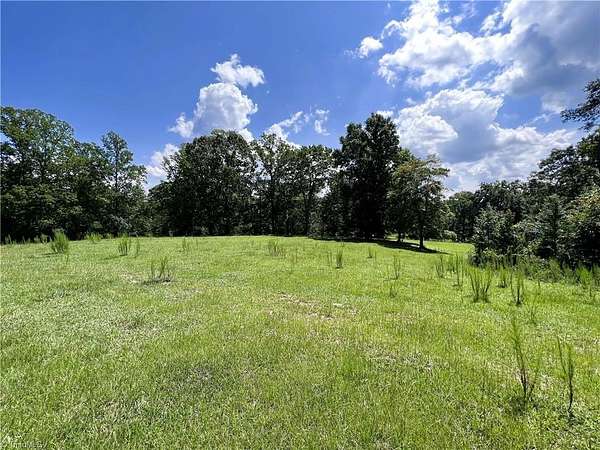
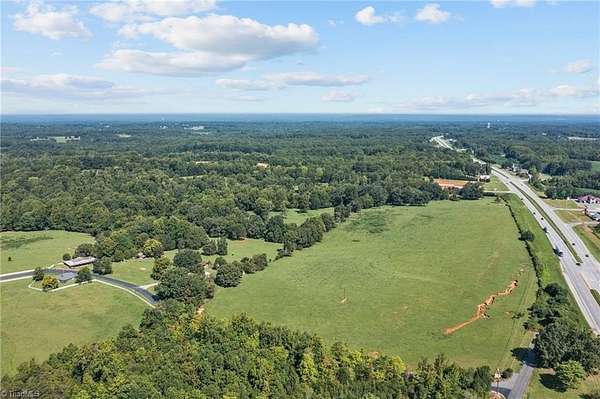
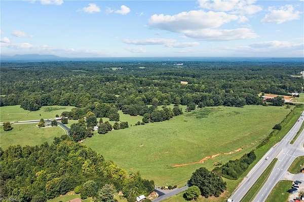
193 acres
Pending sale
Under contract
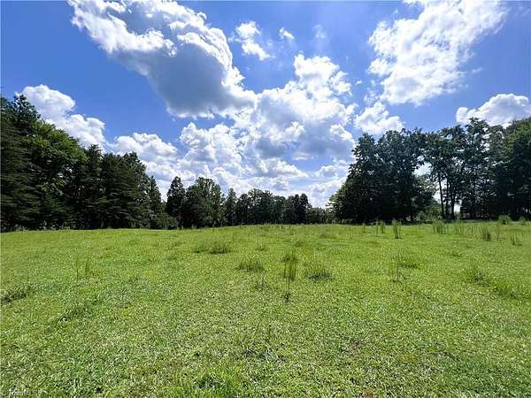
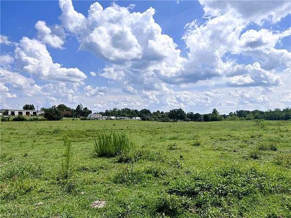
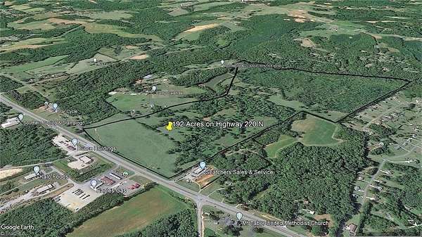
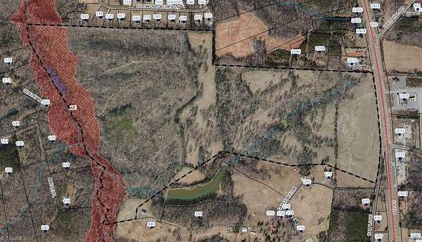
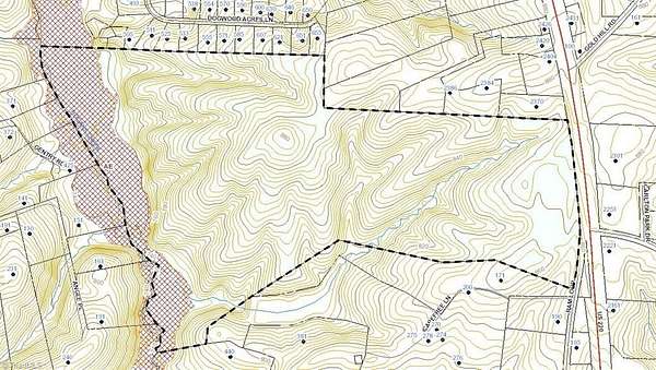
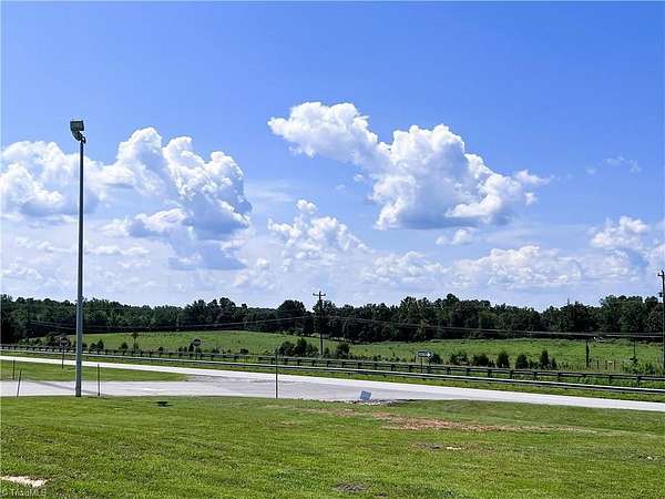
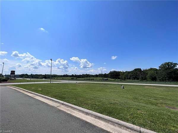
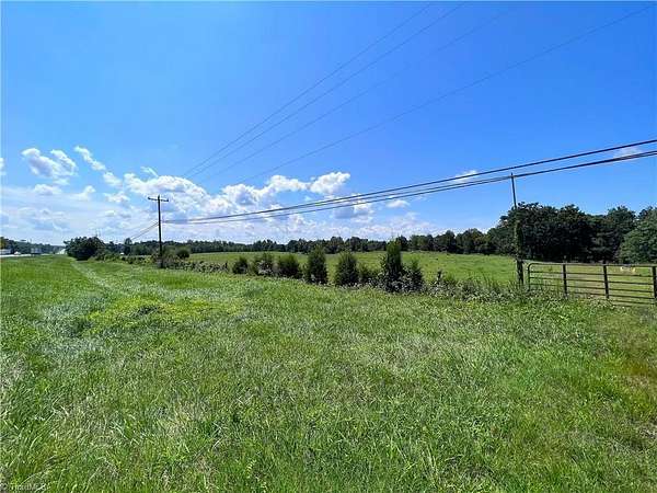
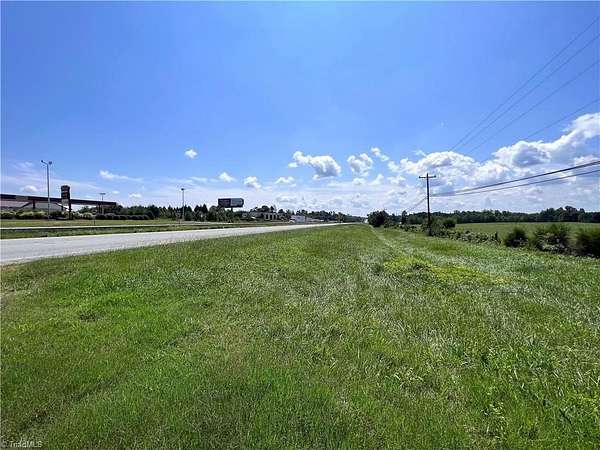
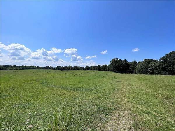
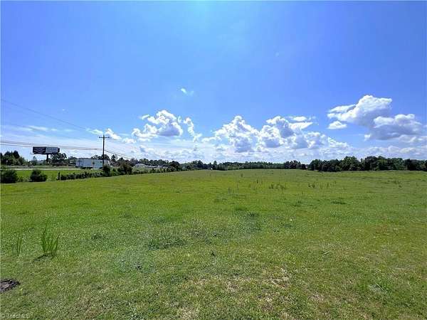
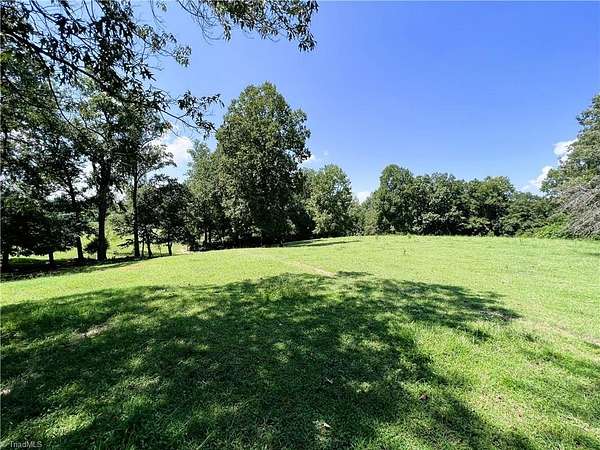
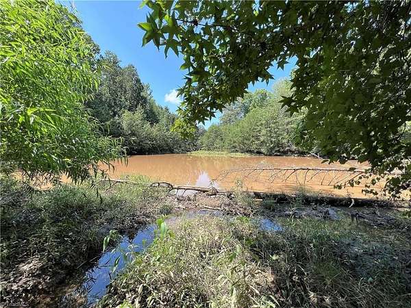
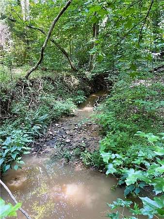
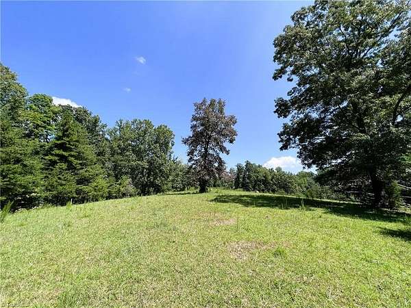
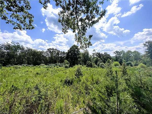
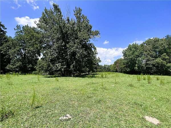
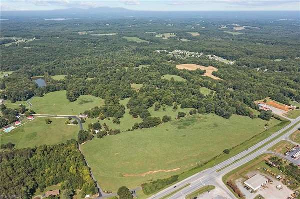
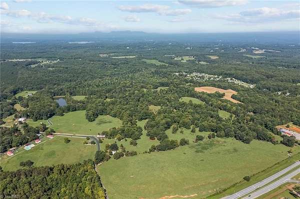
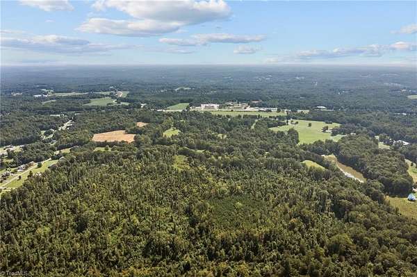
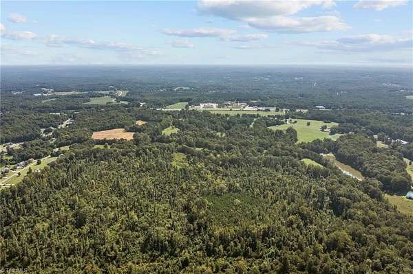
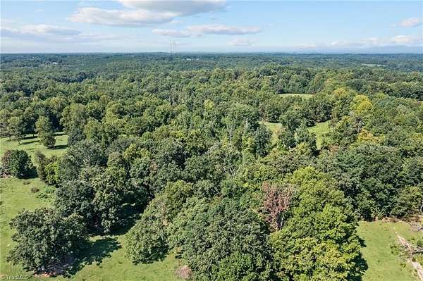
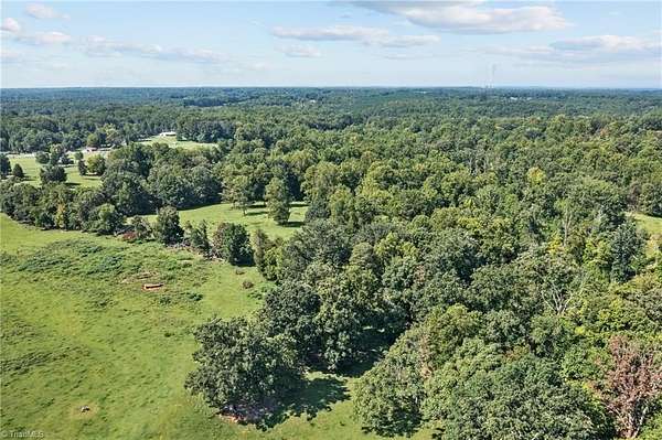
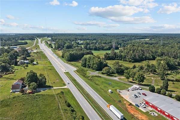
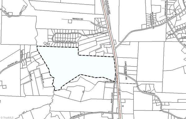
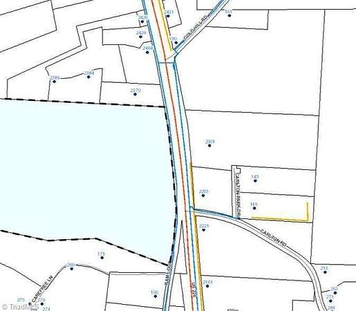
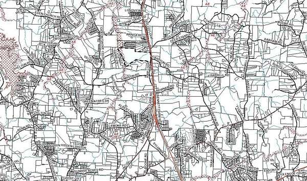
One of the last large parcels in expanding SW Rockingham County,along Highway 220/I-73. Unlimited Possibilities.Great Commercial Potential within the Rock Co "Economic Development" land use plan for future growth.Road frontage on Highway 220 (I-73 Corridor) & Ram Loop.Rolling acreage.Public Water On-Site and public sewer lines across Hwy 220.Located 2 miles north of Hwy 68/Hwy 220 interchange and South Rockingham Corporate Park.Less than 30 minutes to PTI airport, FED-EX Hub, VA border, & multiple Triad NC cities.
Location
- Street address
- US Highway 220
- County
- Rockingham County
- Zip code
- 27357
- Elevation
- 833 feet
Directions
From Stokesdale on US-22- North, (L) on Simpson Rd, (R) on Ram Loop, property is end of road.
Property details
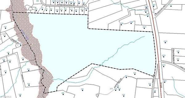
- Acreage
- 192.74 acres
- Zoning
- RA
- MLS #
- TRIAD 1081531
- Posted
Parcels
- 791300938212
Legal description
192.74 AC PT Gentry Heirs Srvy & Addl Tracts
Details and features
Listing
- Type
- Land
Lot
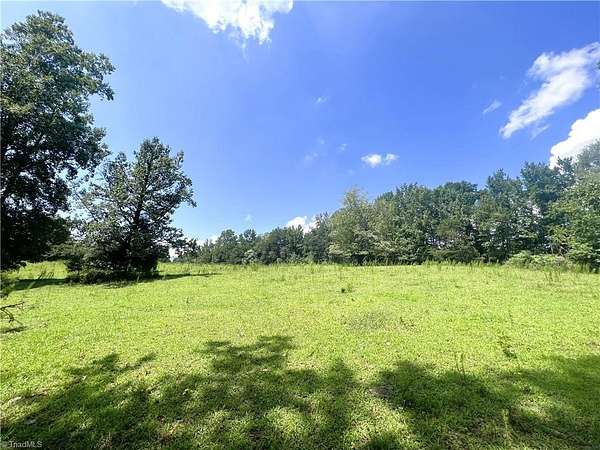
- Features
- Level, Natural Land, Partially Cleared, Partially Wooded, Pasture, Rolling Slope, Sloped
Structure
- Water
- Public
- Sewer
- Public Sewer
Nearby schools
| Name | Type |
|---|---|
| Huntsville | Elementary |
| Western Rockingham | Middle |
| McMichael | High |
Listing history
| Date | Event | Price | Change | Source |
|---|---|---|---|---|
| May 14, 2026 | Under contract | $5,500,000 | — | TRIAD |
| Apr 14, 2026 | Listing removed | $5,500,000 | — | Listing agent |
| Apr 2, 2026 | Under contract | $5,500,000 | — | TRIAD |
| Mar 31, 2026 | Listing removed | $5,500,000 | — | Listing agent |
| Feb 27, 2026 | Under contract | $5,500,000 | — | TRIAD |
| Feb 26, 2026 | Listing removed | $5,500,000 | — | Listing agent |
| Jan 17, 2026 | Under contract | $5,500,000 | — | TRIAD |
| Jan 14, 2026 | Listing removed | $5,500,000 | — | Listing agent |
| Aug 13, 2025 | Under contract | $5,500,000 | — | TRIAD |
| Aug 7, 2025 | Listing removed | $5,500,000 | — | Listing agent |
| June 4, 2025 | Under contract | $5,500,000 | — | TRIAD |
| June 4, 2025 | Back on market | $5,500,000 | — | TRIAD |
| Apr 3, 2025 | Under contract | $5,500,000 | — | TRIAD |
| Apr 1, 2025 | Listing removed | $5,500,000 | — | Listing agent |
| Mar 27, 2025 | Under contract | $5,500,000 | — | TRIAD |
Payment calculator

Contact listing agent
By submitting, I agree to the terms of use and to be contacted by . Message and data rates may apply.