Images
Map
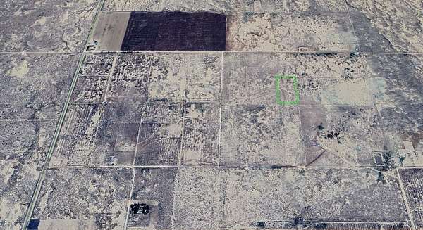
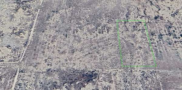
Land for Sale in Lancaster, California
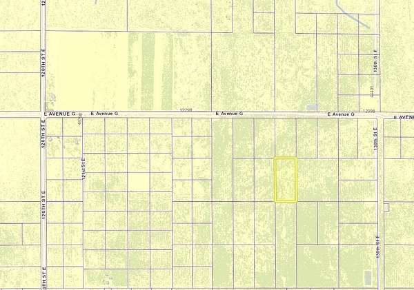
Vic Ave G4 & 127th St E, Lancaster, CA 93535
$20,000
5.29 acres
Active sale
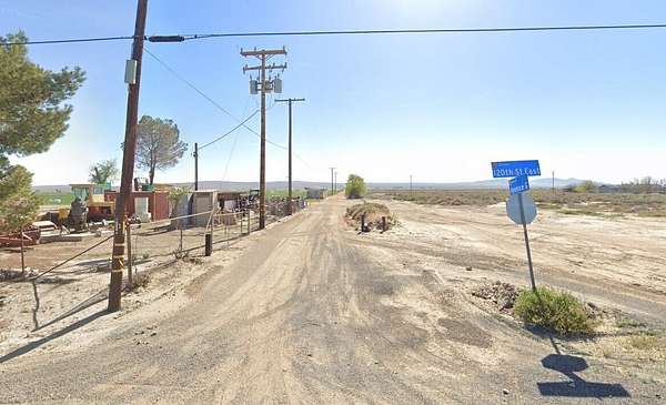
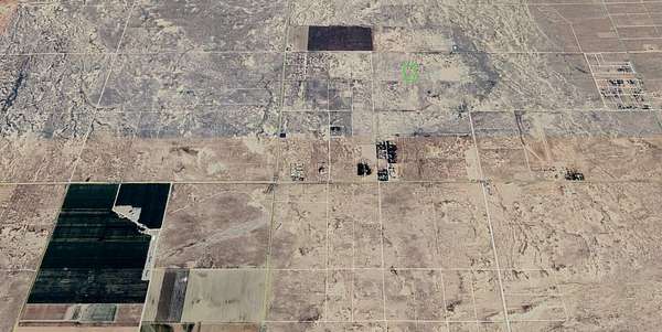
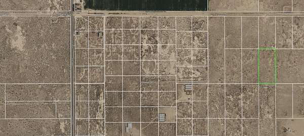
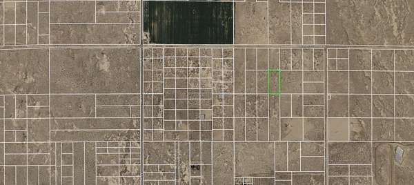
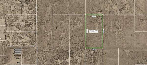
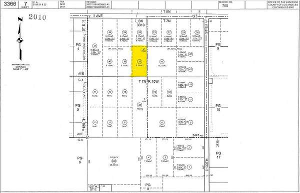
Est $184/mo5.29 acre lot zoned A21 for agriculture, animals, and a home. Situated close to paved 120th t E which is a road to Edwards Air Force Base. APN 3366-007-026. The property deed shows 32 foot road easements over the east and south borders of the lot.
Location
- Street address
- Vic Ave G4 & 127th St E
- County
- Los Angeles County
- Zip code
- 93535
- Community
- Lanc 90th E to SB
- Elevation
- 2,414 feet
Directions
14 FWY/ Ave H-east/ 120th St E-north one mile to Ave G/ go east to 123rd, south a1/4 mile to G4, then east 1/4 mile to the southwest corner of the lot at GPS Lat: 34.73071 Lon:-117.9041
Property details
- Acreage
- 5.29 acres
- Zoning
- LCA21
- MLS #
- GAVAR 25008325
- Posted
Parcels
- 3366-007-026
Details and features
Listing
- Type
- Land
- Franchise
- Century 21 Real Estate
Structure
- Sewer
- None
Listing history
| Date | Event | Price | Change | Source |
|---|---|---|---|---|
| Oct 29, 2025 | New listing | $20,000 | — | GAVAR |
Payment calculator

Contact listing agent
By submitting, I agree to the terms of use and to be contacted by . Message and data rates may apply.