Images
Map
Land for Sale in Nogales, Arizona
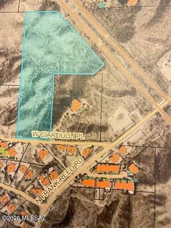
W Ciardulli Pl, Nogales, AZ 85621
$80,000
13.9 acres
Active sale
ago
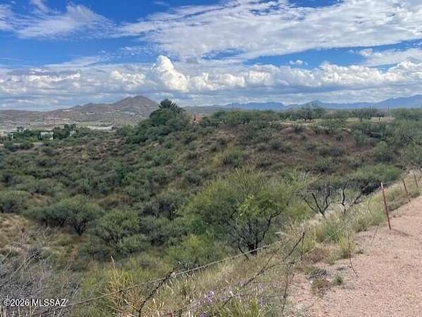
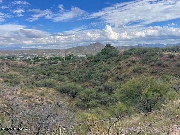
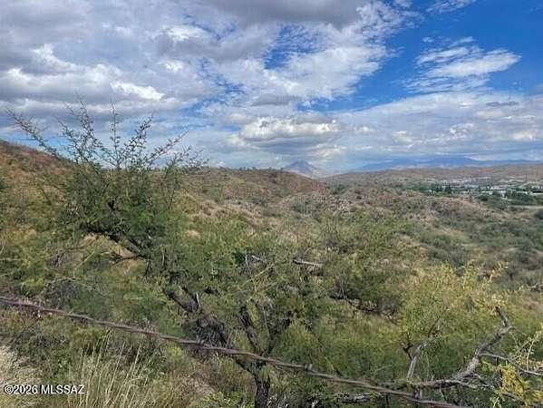
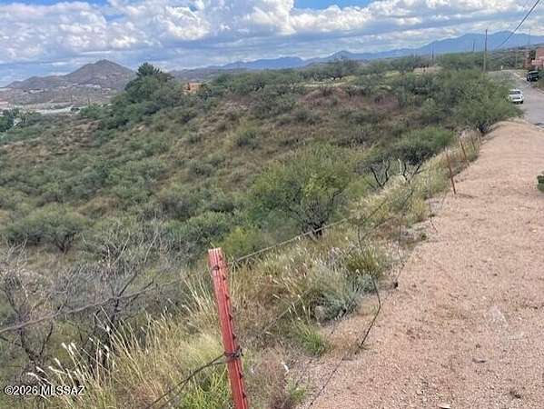
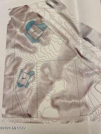
Est $654/mo13.87 acres close to Nogales High, near access to freeway less than 1 mile, near shopping areas, near Santa Cruz County Complex, near fire department within 1 mile. Enjoy beautiful mountain views.
Location
- Street address
- W Ciardulli Pl, # 2
- County
- Santa Cruz County
- Zip code
- 85621
- Community
- SCC-Nogales West
- School district
- Nogales Unified School District #1
- Elevation
- 3,740 feet
Directions
I-19 to exit #8 south on Grand Ave. Right on Frank Reid Rd, right on Ciardulli Place
Property details
- Acreage
- 13.87 acres
- Zoning
- Nogales - SFR12
- MLS #
- TAR 22625948
- Posted
Property taxes
- 2026
- $1,094
Parcels
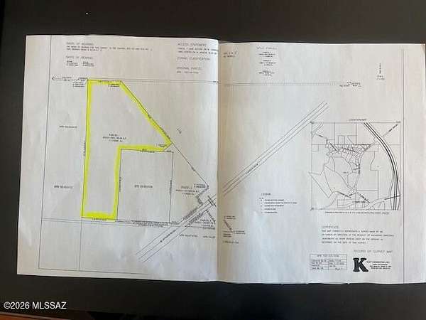
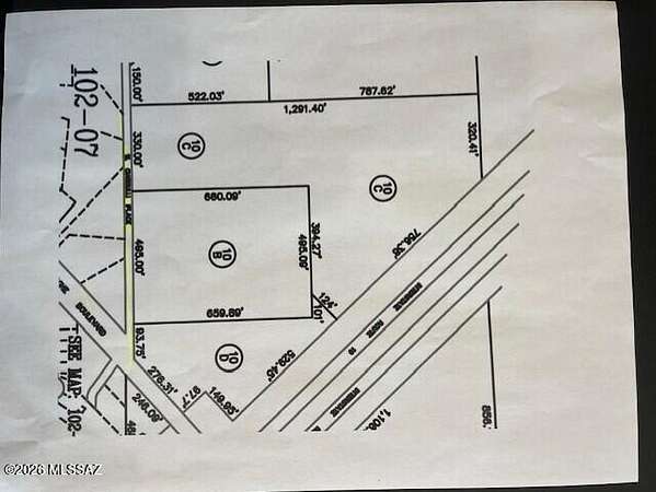
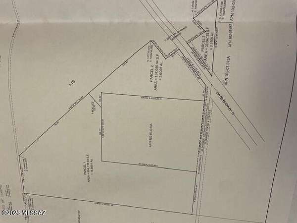
- 102-03-010C
Legal description
A Portion of Land in the Nw4 Ne4 being a Portion of Lot 2 lying South Westerly of I-19 in Sec 6 T24S R14E AKA Parcel 1
Details and features
Listing
- Type
- Land
Lot
- Features
- Hillside Lot
Nearby schools
| Name | Type | District |
|---|---|---|
| Coronado | Elementary | Nogales Unified School District #1 |
| Desert Shadows | Middle | Nogales Unified School District #1 |
| Nogales | High | Nogales Unified School District #1 |
Listing history
| Date | Event | Price | Change | Source |
|---|---|---|---|---|
| Oct 24, 2026 | New listing | $80,000 | — | TAR |
Payment calculator
Contact listing agent
By submitting, I agree to the terms of use and to be contacted by . Message and data rates may apply.