Land for Sale in Congress, Arizona
W Traveler Way Lot: 40&41, Congress, AZ 85332
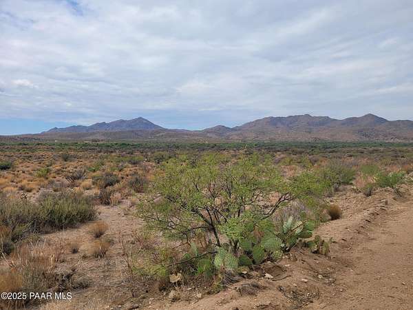
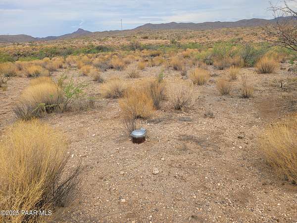
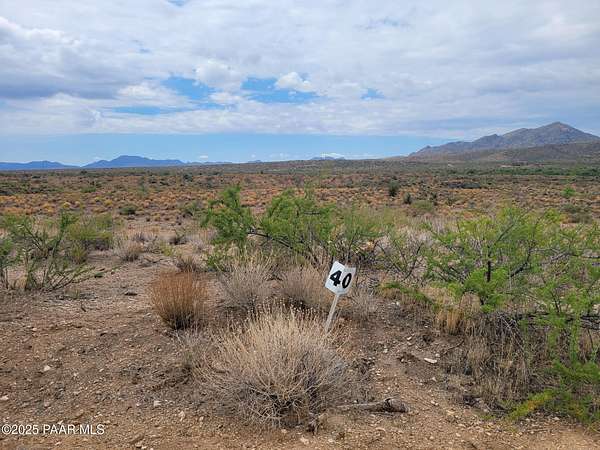
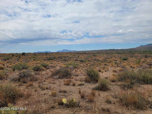
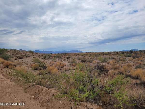
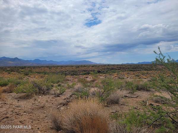
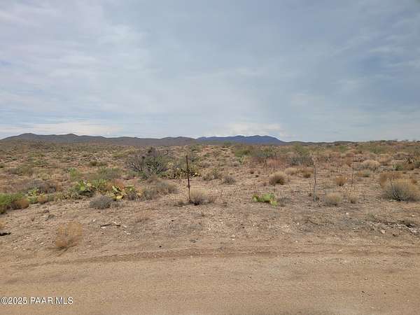
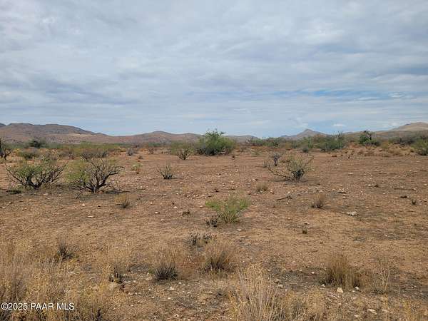
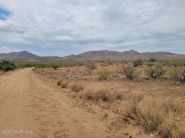
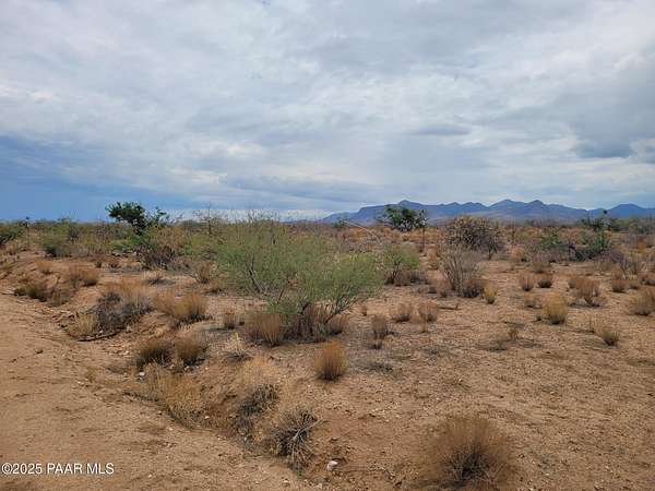
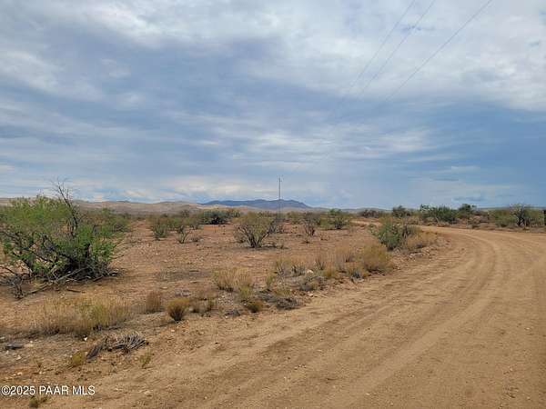
SELLER FINANCING AVAILABLE! Lots 40 & 41 totaling 83.38 acres located in Saddle Creek Ranch III. Must buy both lots together, seller will not split. Lot 40 has a great well! This pristine desert land is at a 3,400 foot elevation and both properties border Arizona State Trust land. APS power available! This phase of Saddle Creek Ranch is zoned for ''site built homes only''. All the decomposed granite roads in Saddle Creek Ranch III subdivision are maintained by the Saddle Creek Property Owners Association. Date Creek Rd is maintained by Yavapai County. Embraced in the foothills of the Weaver Mountains and along Sunflower Flats, this land is a haven of beauty. Use the property for a full-time gentleman's ranch, retirement home, or weekend getaway. Located between Wickenburg and Prescott, this stunning Arizona land, offers an unmatched quality of life with good abundant ground water per developer. Only 17% of AZ land is owned privately, the rest is owned by the government and Native American Indian reservation. Terms are 20% down payment, 4-year note amortized over 20 years, monthly payment at 7% interest, balloon payment due at the end of the 4th year, no pre-payment penalty! Buyer pays for account servicing set up and monthly service fee, all other closing costs are normal. Owner has a grazing lease with the local rancher to lower the tax rate. The grazing lease does not transfer with new ownership. New owner must reapply with the rancher and County Assessor. APN#s are 202-19-006G (Lot 40) and 202-19-006P (Lot 41).
Location
- Street address
- W Traveler Way Lot: 40&41
- County
- Yavapai County
- Community
- Saddle Creek Ranch
- Elevation
- 3,408 feet
Directions
Iron Springs Rd to Kirkland Hillside Rd (96) to Date Creek Rd (62) L app 8 mi. to Traveler Way, R app 1.6 mi to San Peppy, R app .3 mi to sign.
Property details
- Acreage
- 83.38 acres
- Zoning
- R1L-10A
- MLS #
- PAAR 1076461
- Posted
Expenses
- Home Owner Assessments Fee
- $624 annually
Legal description
Parcels 40 and 41, SADDLE CREEK RANCH PHASE 3, according to the plat of record in Book 158 of Land Surveys, pages 41 and 42, records of Yavapai County, AZ. EXCEPT all coal and other minerals, as reserved in Patent from United States of America.
Details and features
Listing
- Type
- Land
Lot
- View
- Valley
Structure
- Water
- Private
Listing history
| Date | Event | Price | Change | Source |
|---|---|---|---|---|
| Sept 15, 2025 | New listing | $299,500 | — | PAAR |