Images
Map
Street
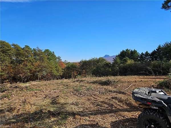
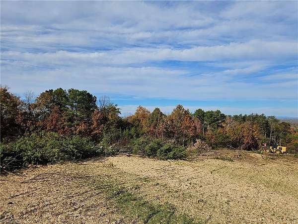
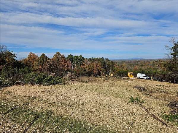
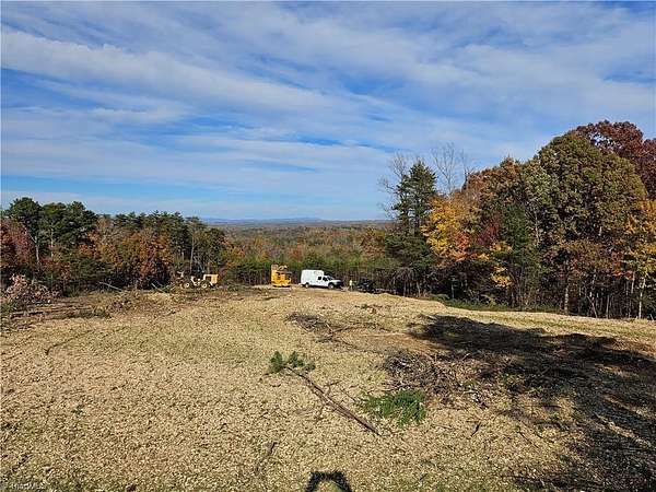
Land for Sale in Pilot Mountain, North Carolina
Whitaker Chapel Rd, Pilot Mountain, NC 27041
$250,000
10.5 acres
Pending sale
Under contract
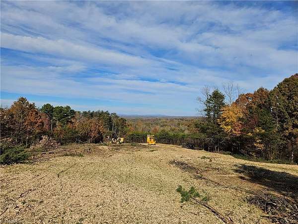
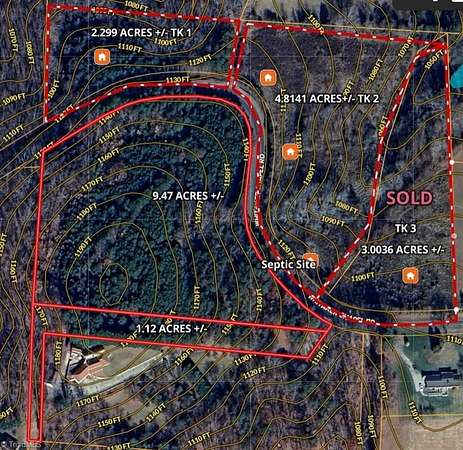
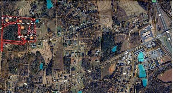
1,200 feet of elevation with the views to kill for. Blueridge Mountains, Sauratown Mountain, Hanging Rock, and Pilot Mountain. Located in the Pilot Mountain ETJ (Extra Territorial Jurisdiction), with city tax, but county water on the road. No Restrictions, but perfect for an estate home, Less than one mile from Hwy 52.
Location
- Street address
- Whitaker Chapel Rd, # 10
- County
- Surry County
- Zip code
- 27041
- Elevation
- 1,147 feet
Directions
From Hwy 52- I-74 Pilot Mountain, go West on Hwy 268 one block, turn right at Circle K onto Barney Vernable Road 900 feet. Turn left onto Whitaker Chapel Road. Go .66 mile on the next to the concrete driveway.
Property details
- Acreage
- 10.47 acres
- Zoning
- RL
- MLS #
- TRIAD 1201435
- Posted
Details and features
Listing
- Type
- Land
Lot
- Features
- City Lot, Level, Rolling Slope, Sloped, Steep Slope, Views
Structure
- Water
- Public
Nearby schools
| Name | Type |
|---|---|
| Shoals | Elementary |
| Pilot Mountain | Middle |
| East Surry | High |
Listing history
| Date | Event | Price | Change | Source |
|---|---|---|---|---|
| June 25, 2026 | Under contract | $250,000 | — | TRIAD |
| Apr 2, 2026 | Relisted | $250,000 | — | TRIAD |
| Mar 31, 2026 | Listing removed | $250,000 | — | Listing agent |
| Feb 27, 2026 | Relisted | $250,000 | — | TRIAD |
| Feb 26, 2026 | Listing removed | $250,000 | — | Listing agent |
| Jan 17, 2026 | Relisted | $250,000 | — | TRIAD |
| Jan 14, 2026 | Listing removed | $250,000 | — | Listing agent |
| Nov 17, 2025 | Relisted | $250,000 | — | TRIAD |
| Nov 15, 2025 | Listing removed | $250,000 | — | Listing agent |
| Nov 14, 2025 | Relisted | $250,000 | — | TRIAD |
| Nov 14, 2025 | Listing removed | $250,000 | — | Listing agent |
| Nov 9, 2025 | Relisted | $250,000 | — | TRIAD |
| Nov 9, 2025 | Listing removed | $250,000 | — | Listing agent |
| Nov 6, 2025 | New listing | $250,000 | — | TRIAD |
Payment calculator

Contact listing agent
By submitting, I agree to the terms of use and to be contacted by . Message and data rates may apply.