

Land for Sale in White Hills, Arizona
Mohave County, White Hills, AZ 86445
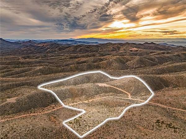
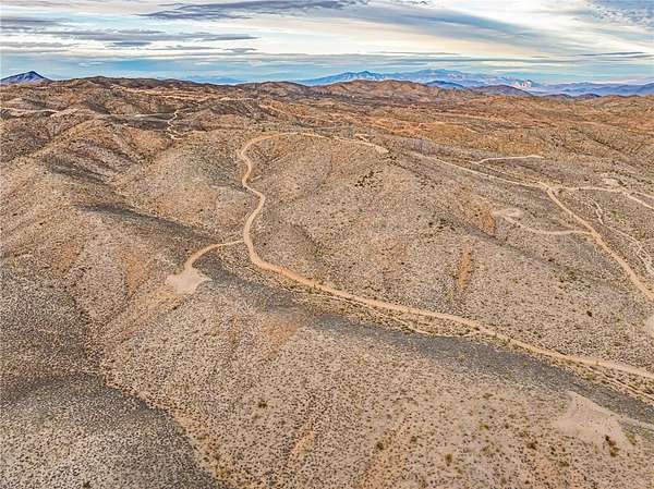
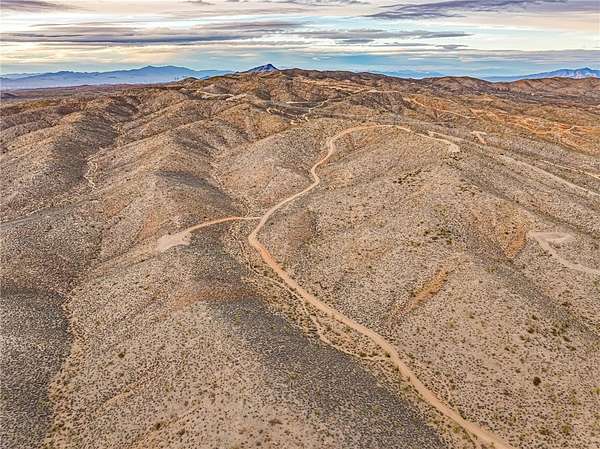
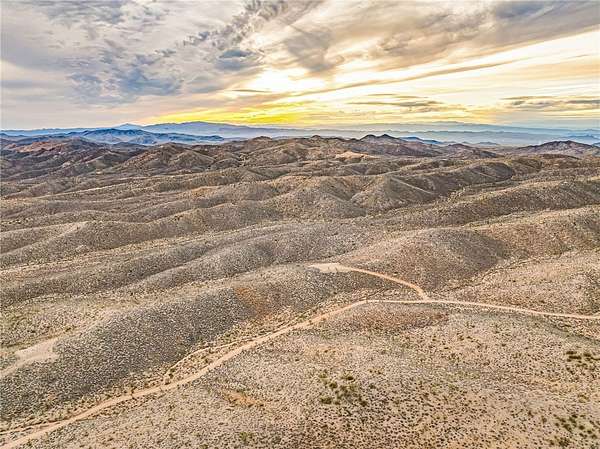
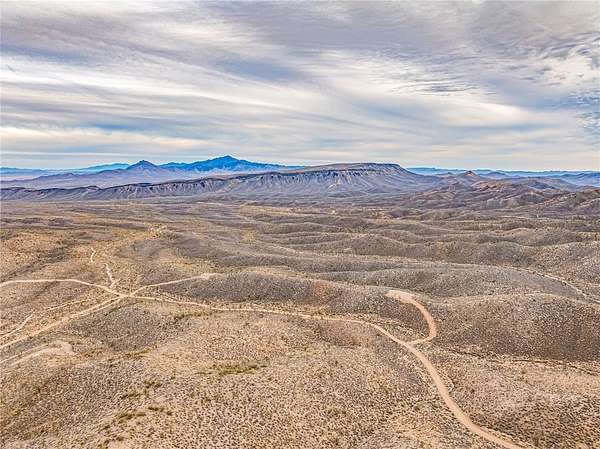
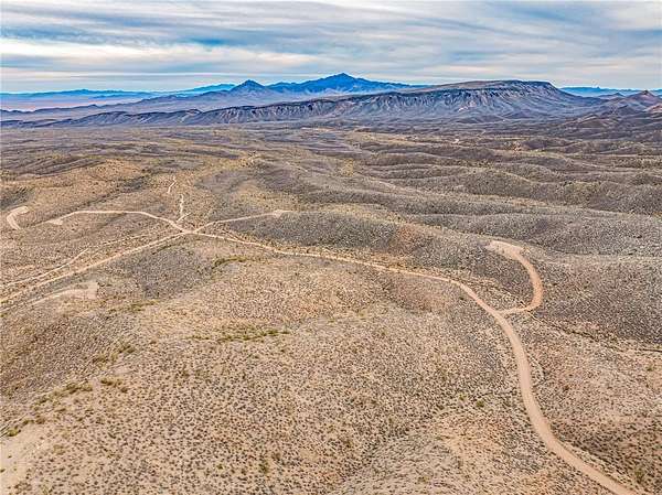
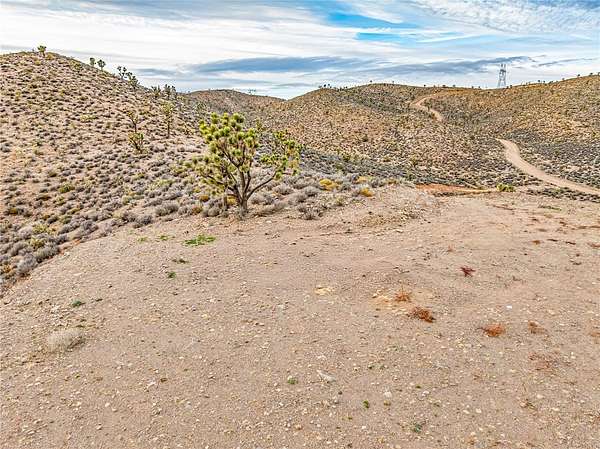
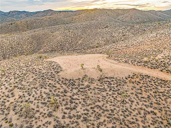
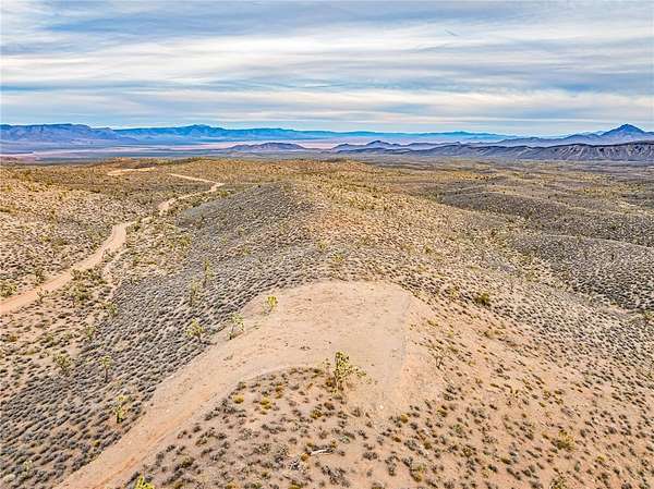
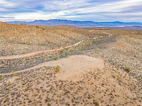
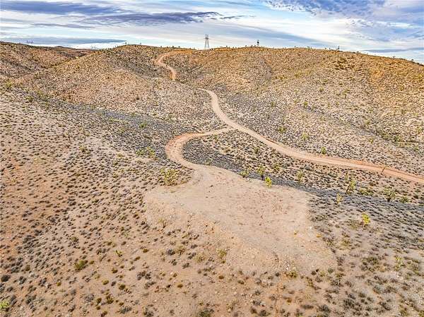
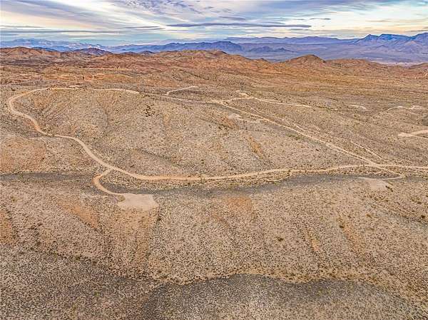
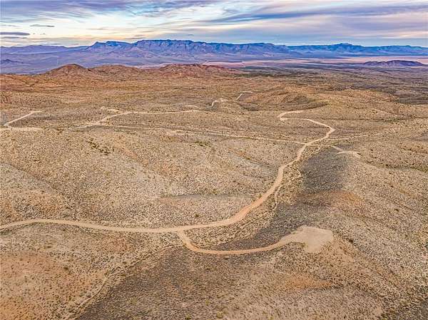
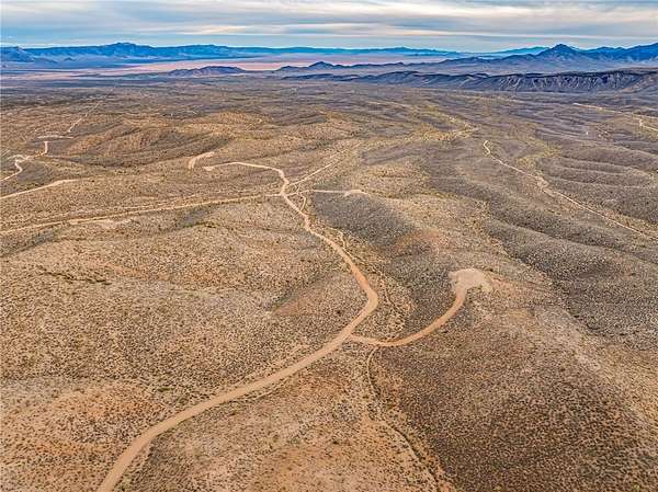
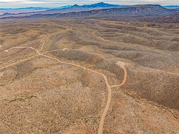
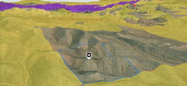
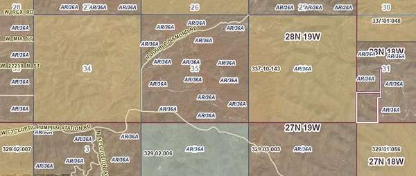
Experience wide-open freedom on this expansive 36.06-acre parcel perched above the White Hills of Arizona. Set at a higher elevation, the land captures sweeping, unobstructed views in every direction mountain ranges, open desert horizons and glimpses of Lake Mead Recreational Area. The property is easily reached by maintained roads and features gently varied topography with usable, build-ready areas, including a prepared driveway and level clearing. Located within the Mountain Top Ranches community, this acreage offers true privacy with government land bordering two sides, ensuring protected views and a peaceful setting. Enjoy the feel of complete remoteness while still being conveniently positioned approximately 15 miles from US Highway 93 and within a manageable drive of Las Vegas. Property ownership is further enhanced by low annual property taxes and a low annual HOA fee that maintains roadways for reliable access year-round. With elevations of approximately 4,500 feet, this land is ideal for an off-grid lifestyle, equestrian use, agricultural pursuits or the creation of a custom high-desert retreat. Open skies, vibrant sunsets and star-filled nights set the tone offering a rare opportunity to build sustainably and live freely in one of Arizona s most scenic desert landscapes. *FOLLOW WRITTEN DIRECTIONS* Coordinates for locating property; Latitude: 35.765918 Longitude: -114.254326
Location
- County
- Mohave County
- Zip code
- 86445
- Community
- Mountain Top Ranches IV
- Elevation
- 4,439 feet
Directions
US Hwy 93 to White Hills Rd * 7 miles & left onto N Skipper Blvd * Left at fork onto N Senator Blvd * Right onto W Indian Peak Dr * Left at Silver Eagle Dr * .9 miles & turn right at W Leonard Dr * (3.5 miles to property) Turns into W Cycloptic Pumping Station Rd * Stay left at first fork & then stay right at the second fork * Left at N Double Diamond Dr * Follow road around * Coordinates are essential--- Latitude: 35.765918 Longitude: -114.254326
Property details
- Acreage
- 36.06 acres
- Zoning
- M- AR Agricultural Res
- MLS #
- WARDEX 035031
- Posted
Property taxes
- 2025
- $134
Expenses
- Homeowner Association Fee
- $150 annually
Parcels
- 337-01-079
Legal description
T28N R18W SEC.31 MOUNTAIN TOP RANCHES III LOT 20 RS 57/15-15A CONT 1,570,774 SQ FT (36.06 ACRES)
Details and features
Listing
- Type
- Land
- Franchise
- Realty ONE Group
Lot
- View
- Mountains
- Features
- Agricultural, Borders State Land, Irregular Lot, Residential Lot, Rolling Slope, Sloped, Steep Slope
Structure
- Sewer
- Septic Needed
Listing history
| Date | Event | Price | Change | Source |
|---|---|---|---|---|
| June 9, 2026 | Price drop | $35,000 | $5,000 -12.5% | WARDEX |
| May 20, 2026 | Back on market | $40,000 | — | WARDEX |
| May 2, 2026 | Under contract | $40,000 | — | WARDEX |
| Mar 17, 2026 | Price drop | $40,000 | $5,000 -11.1% | WARDEX |
| Feb 15, 2026 | Price drop | $45,000 | $5,000 -10% | WARDEX |
| Dec 30, 2025 | New listing | $50,000 | — | WARDEX |