40 Acres of Recreational Land & Farm for Sale in Wikieup, Arizona
Image
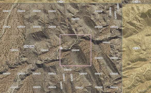
Map
Street
$10,000
40 acres
Active sale$8k dropEst $98/mo
40 acres of land ideal for off grid living!
Directions
From Wikieup head North on Highway 93 to Pump Station Rd. Turn right on Pump Station Rd, turn left on Lower Trout Creek Rd/Highway 159. Property is 2 miles east of MP12. GPS coordinates are (34.8425066,-113.5884082)
Property details
- County
- Mohave County
- Elevation
- 2,005 feet
- MLS Number
- WARDEX 006542
- Date Listed
Parcels
- 201-31-015
Property taxes
- 2022
- $45
Detailed attributes
Listing
- Type
- Lots And Land
- Franchise
- Realty ONE Group
Listing history
| Date | Event | Price | Change | Source |
|---|---|---|---|---|
| Jan 23, 2024 | Price decrease | $10,000 | $8,000 -44.4% | WARDEX |
| Jan 11, 2024 | Price decrease | $18,000 | $7,000 -28% | WARDEX |
| Sept 28, 2023 | Price decrease | $25,000 | $5,000 -16.7% | WARDEX |
| Sept 8, 2023 | New listing | $30,000 | — | WARDEX |
Payment calculator
Arielle Goodkin
Realty ONE Group Mountain Desert
Contact listing agent
By submitting, you agree to the terms of use, privacy policy, and to receive communications.