Recreational Land & Farm for Sale in Wikieup, Arizona
Mohave County Wikieup, AZ 85360
Images
Map

$15,000
35 acres
Active sale agoEst $116/mo
Off the grid off the beaten path property. Looking for a place to camp for hikers or off- roaders. This could be it. This property is zoned agricultural/residential. Come on out and explore the desert.
Directions
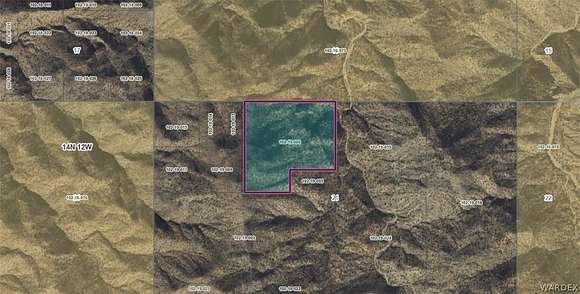
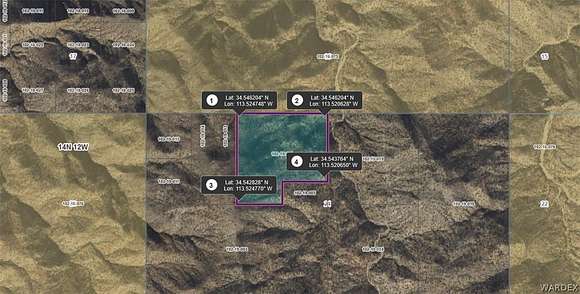
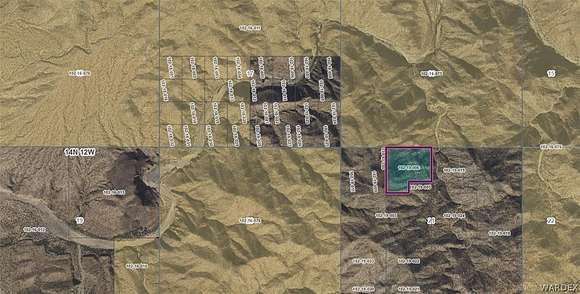
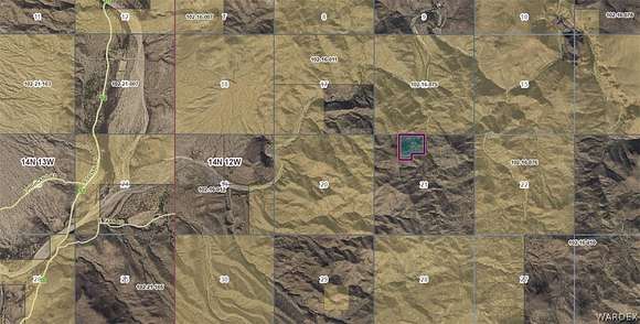
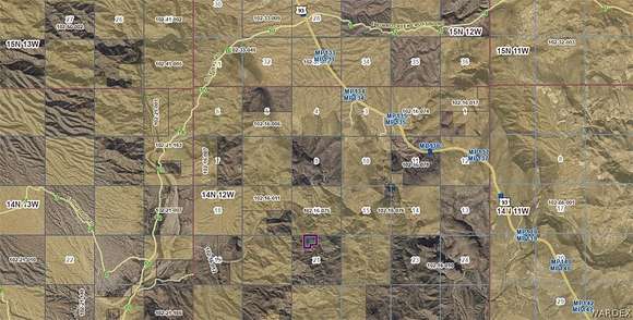
Hwy 93 to Signal Rd (just south of mm132) go west to about mm12 and this property is located about 3 mile east of there. GPS coordinates are in the photos. Maps are in the photos. Unknown road access from Signal Rd. Off road vehicle may be needed.
Property details
- County
- Mohave County
- Elevation
- 2,336 feet
- MLS Number
- WARDEX 013637
- Date Posted
Legal description
W2 NE4 NW4; NE4 NE4 NW4; N2 SE4 NE4 NW4 CONT 35 ACRES M/L
Parcels
- 102-19-006
Property taxes
- 2023
- $49
Resources
Detailed attributes
Listing
- Type
- Lots And Land
Lot
- Views
- Mountain
Listing history
| Date | Event | Price | Change | Source |
|---|---|---|---|---|
| May 21, 2024 | New listing | $15,000 | — | WARDEX |
Payment calculator
Contact listing agent
By submitting, you agree to the terms of use, privacy policy, and to receive communications.