Land for Sale in Rawlins, Wyoming
Willow Rd, Rawlins, WY 82301
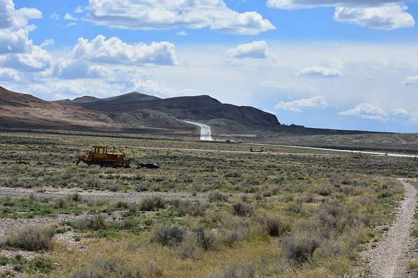
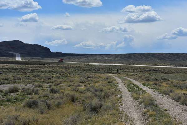
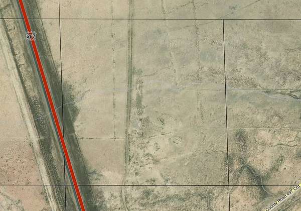
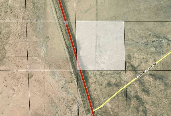
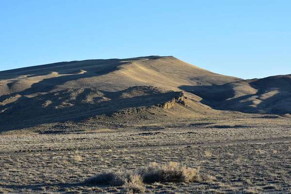
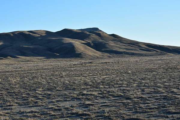
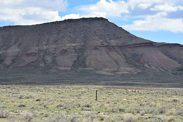
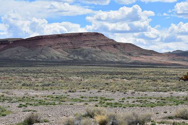
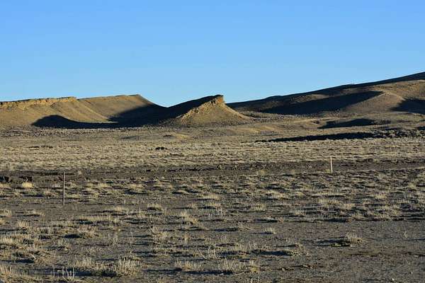
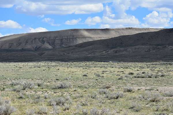
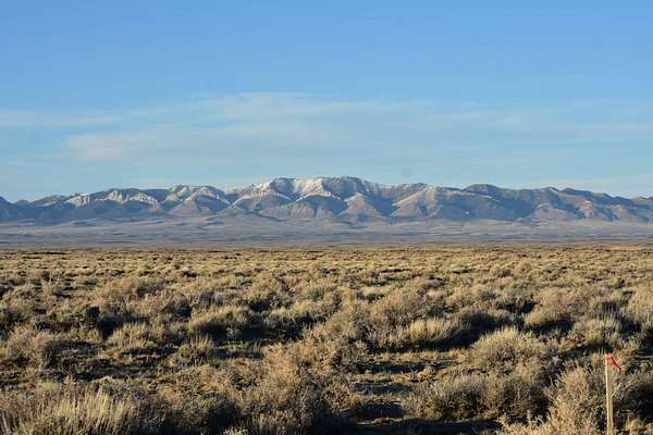
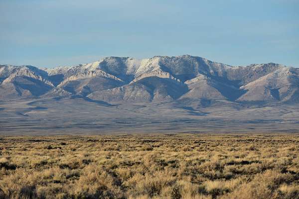
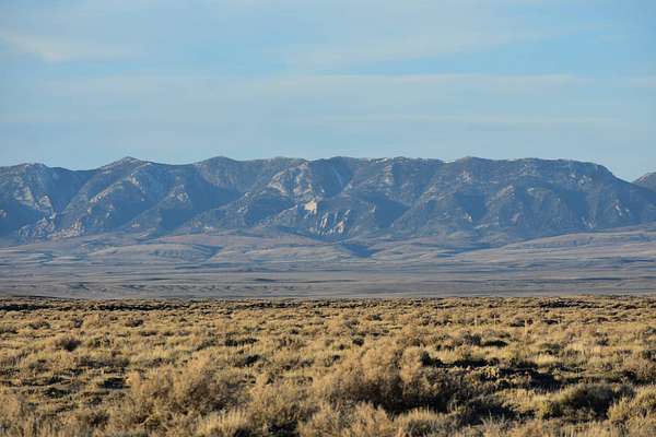
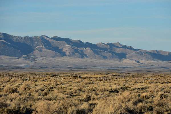
40 Level Acres off of County Rd. 497 where you can escape to the views of Rendle Hill, Green Mountain, Whiskey Peak, and the Ferris Mountains. To the northeast of the property is The Ferris Mountains WSA encompasses 22,245 acres of BLM-administered land. The study area is steep and rugged, providing unusual and spectacular scenery. Ferris Peak is the highest point in the Great Divide Basin at 10,037 feet and rises some 3,000 feet from the valley floor. Large stands of Douglas fir, interspersed with grassy parks create an alpine setting. The Ferris Mountains WSA, in combination with its relatively large size, diversity and ruggedness, contains outstanding opportunities for a primitive and unconfined type of recreation. The WSA's ridges, canyons, valleys and meadows offer outstanding opportunities for hiking, hunting, camping and backpacking. Independence Rock was the most-noted landmark of the wagon trails west of Fort Laramie. The rock derived its name from a party of fur trappers who camped and celebrated Independence Day near the rock on July 4, 1830. Eventually, thousands of emigrants camped at the foot of this 1,900 feet long by 850 feet wide granite outcrop. They carved their names and messages into the granite, using Independence Rock as a bulletin board for Oregon Trail travelers. In 1961, it was designated a national historic landmark managed by the State of Wyoming. Today, the site contains a footpath that goes around the base of the rock, interpretive exhibits that tell the trail story, visible trail ruts (a deep wagon swale passes beneath the path's footbridge, and emigrant inscriptions. Hiking is allowed on the rock; however, please avoid walking on the earliest inscriptions as they are wearing thin. There is a solar powered well on the property and currently no electric. Elk Zone 111 and Deer Zone 87. Resources in Rawlins, Wyoming are 16 miles south and access is ideal just off the County Rd. 497 which connects directly to Highway 287. Building in Carbon County RAM Zone is primarily agriculture / mining and has restrictions as to what is built in the zone, you can contact the Carbon County Zoning office in Rawlins.
Location
- Street address
- Willow Rd
- County
- Carbon County
- Zip code
- 82301
- Elevation
- 6,538 feet
Directions
Hwy 287 North of Rawlins 16 Miles to County Rd 497 (Willow/Buzzard Rd) left on first approach on the left approx. 400 ft to property line where RR Ties are.
Property details
- Acreage
- 40 acres
- Zoning
- Agricultural
- MLS #
- MyStateMLS 11737146
- Posted
Property taxes
- 2026
- $137
Details and features
Listing
- Type
- Vacant Land
Lot
- View
- Mountain
Property utilities
| Category | Type | Status |
|---|---|---|
| Water | Private Well | Available |
Listing history
| Date | Event | Price | Change | Source |
|---|---|---|---|---|
| Apr 30, 2026 | New listing | $68,000 | — | MyStateMLS |