Residential Land for Sale in Yucca, Arizona
Mohave County, Yucca, AZ 86438
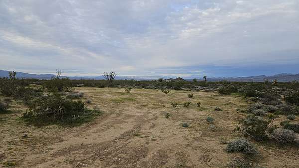
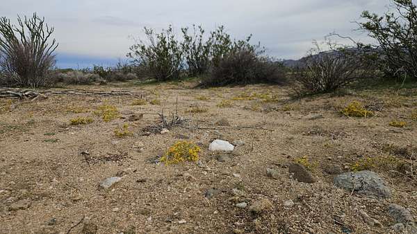
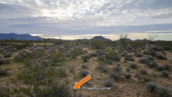
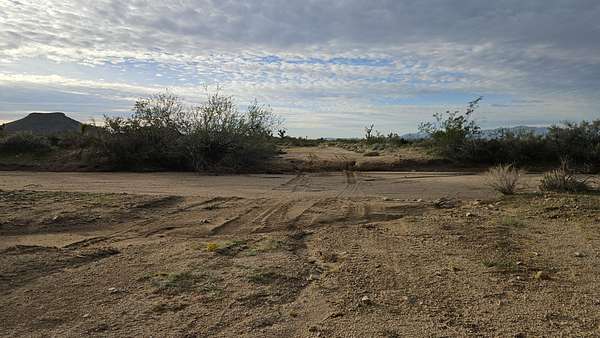
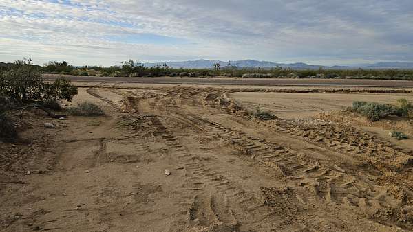
1.15 acres with a cleared driveway, a circular turnaround and a large cleared and graded pad ready for an RV. The ground is firm, coarse sandy loam with some scattered surface rock, not soft sand. The washes run along either side of the lot and no wash channel crosses the property itself, though FEMA maps the south edge of the lot as a flood zone (see Flood below). All property markers are in place.
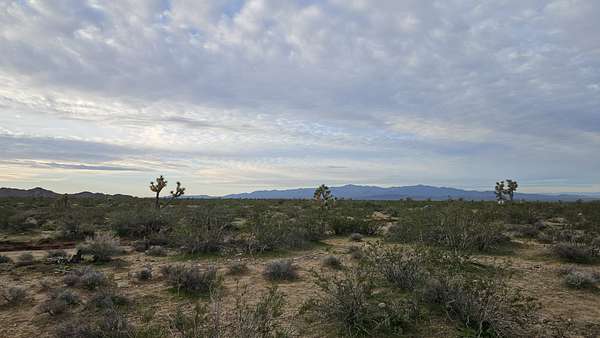
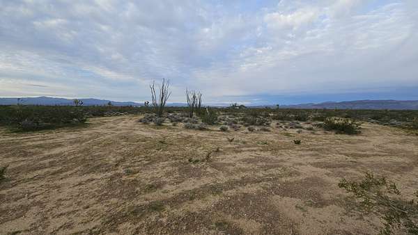
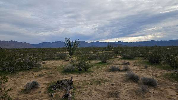
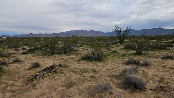
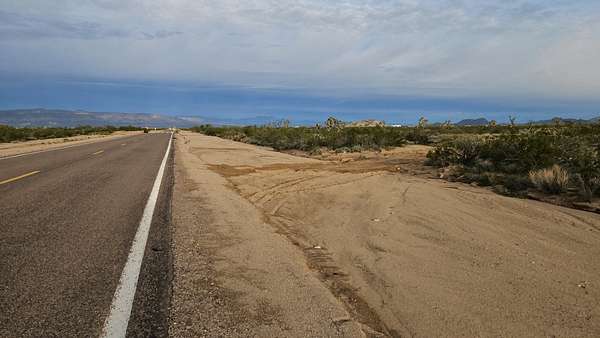
The views go all the way around: across the valley to the Buck Mountains and north toward the Black Mountains of the Oatman mining district. You'll find mature ocotillos, creosote, Joshua trees nearby and spring wildflowers. It's close enough to Alamo Rd to hear some highway traffic, which also means quick, easy access to pavement.
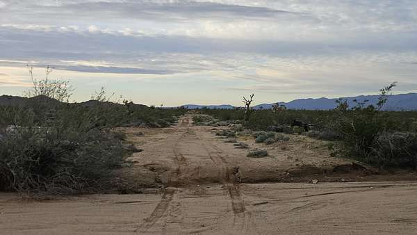
- Access: About 700 ft north of paved Alamo Rd on S Dennis Rd, with one wash crossing. Damp ground packs down and drives easily. When it's dry, the wash turns to loose sand and can be the challenge, and heavy rain or flooding can block it for a while. Even after this season's severe flooding, the turn-off and crossing are still very manageable, better than many lots around here. Continuing north on Dennis has several smaller wash crossings and isn't recommended without some road work.
- Site: 27 ft wide cleared driveway into a circular drive (about 100 ft across, room to turn a truck and trailer) with a cleared and graded RV pad about 33 ft wide by 80 ft long, set back 200 ft from Dennis Rd for privacy. Firm ground. Walked all four corners: every survey marker is in place, undisturbed and out of the washes.
- Off-grid: No power poles in sight, so this is a true off-grid lot, great for solar. Full 5G T-Mobile and 2 bars Verizon on site.
- Water: No well on the lot. Haul water or drill a well; there are wells in the area. Buyer to verify depth and cost.
- Septic: The buyer would need a septic system under Mohave County requirements.
- Flood (full disclosure): FEMA's effective flood map (FIRM panel 04015C5475G, Nov 18, 2009) puts the south and southeast part of the lot, about 0.41 acre, in Zone A (Special Flood Hazard Area, 1% annual chance, approximate, no base flood elevation). The north part, about 0.74 acre, is Zone X (minimal flood hazard). S Dennis Rd from paved Alamo Rd to the lot line is about 610 ft; the last ~180 ft approaching the lot, including the frontage and the wash crossing, is mapped Zone A, and that crossing can be hard after heavy rain. On the ground, no wash crosses the lot and all corner markers are undisturbed. Map image included in the photos. This is not a flood determination; buyer to verify at msc.fema.gov and with Mohave County.
Zoning, access, utilities and permits are for the buyer to verify. Cash or terms to be discussed.
Location
- County
- Mohave County
- Zip code
- 86438
- Community
- Lake Havasu Estates
Property details
- Acreage
- 1.15 acres50,094 sq ft
- Posted
Parcels
- 245-26-355
Legal description
Lake Havasu Estates Unit 8, Block L, Lot 2, Mohave County
Listing history
| Date | Event | Price | Change | Source |
|---|---|---|---|---|
| Nov 20, 2026 | New listing | $8,500 | — | Property seller |