Skip to main content
Skip to navigation
Properties
Find agent
Post property
Log in
•
Sign up
Search here
List
Newtonia, MO land for sale
Price
Size
Tags
Save
40 properties
For you
Newest
Price: high to low
Price: low to high
Size: large to small
Size: small to large
Updated
15 days
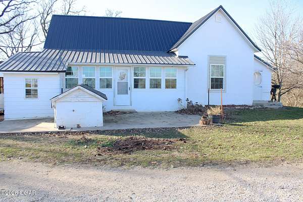
$669,000
10 acres
Newton County
6 bd, 4.5 ba
•
5,159 sq ft
Neosho, MO 64850
40 days ago
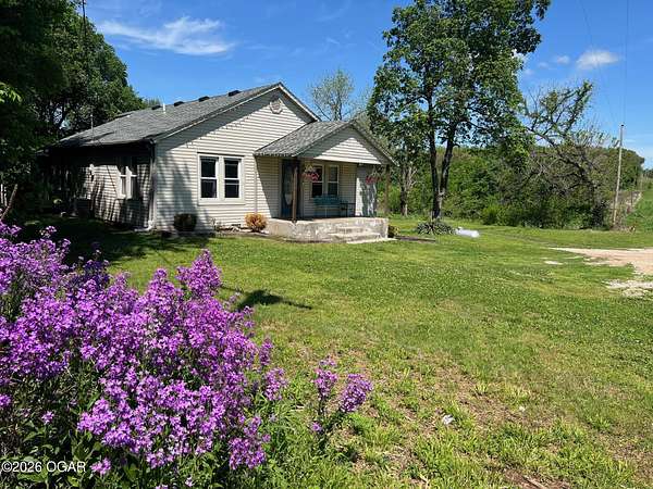
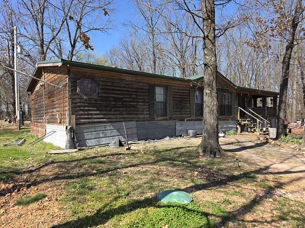
$295,000
9.86 acres
Newton County
3 bd, 2 ba
•
1,680 sq ft
Stella, MO 64867
$24.9k drop • May 8
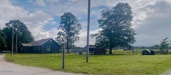
$225,000
31.5 acres
Newton County
Stark City, MO 64866
$1m drop • May 5
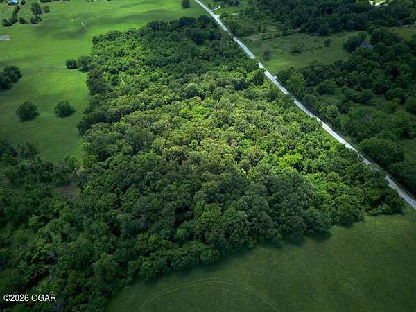
$15,000,000
1,810 acres
Newton County
3 bd, 2 ba
•
1,500 sq ft
Stark City, MO 64866
$15k drop • May 1
$315,000
4.88 acres
Newton County
3 bd, 2 ba
•
2,565 sq ft
Granby, MO 64844
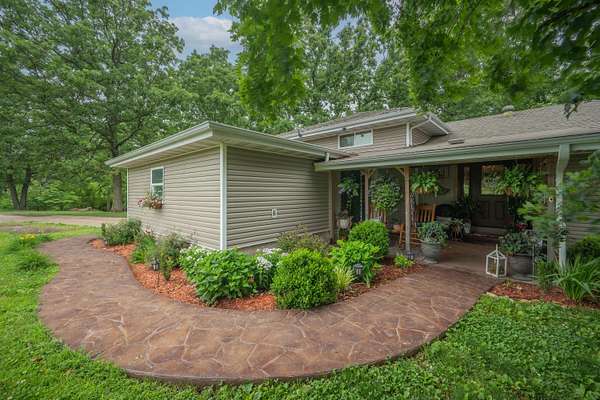
18 days
$399,995
3 acres
Newton County
5 bd, 3 ba
•
3,800 sq ft
Neosho, MO 64850
59 days ago
$375,000
3 acres
Newton County
5 bd, 2.5 ba
•
3,300 sq ft
Granby, MO 64844
6 months ago
$2,500,000
460 acres
Newton County
Granby, MO 64844
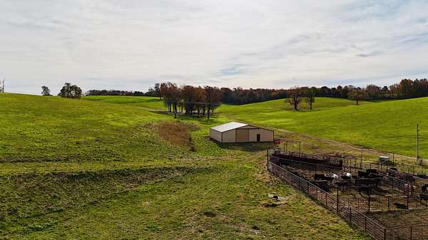
8 months ago
$1,700,000
120 acres
Newton County
3 bd, 2 ba
•
3,180 sq ft
Neosho, MO 64850
7 months ago
$1,200,000
120 acres
Newton County
2 bd, 2 ba
•
1,754 sq ft
Pierce City, MO 65723
4 months ago
$389,900
38 acres
Newton County
3 bd, 1 ba
•
1,900 sq ft
Fairview, MO 64842
2 months ago
$30,000
0.36 acres
Newton County
Neosho, MO 64850
3 months ago
$449,973
71 acres
Newton County
Stark City, MO 64866
6 days
$109,900
2.69 acres
Newton County
Stella, MO 64867
3 months ago
$229,987
4 acres
Newton County
3 bd, 1 ba
•
1,175 sq ft
Stark City, MO 64866
$40k drop • May 24
$349,900
35.4 acres
Newton County
1 bd, 1 ba
•
1,088 sq ft
Wentworth, MO 64873
10 months ago
$211,500
28.2 acres
Newton County
Neosho, MO 64850
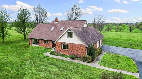
4 months ago
$969,900
125 acres
Newton County
Diamond, MO 64840
5 days
$239,766
2.86 acres
Newton County
2 bd, 2 ba
•
1,500 sq ft
Stark City, MO 64866
53 days ago
$18,000
0.16 acres
Newton County
Granby, MO 64844
4 months ago
$519,900
65 acres
Newton County
Fairview, MO 64842
9 months ago
$105,000
2 acres
Newton County
Granby, MO 64844
4 months ago
$270,000
36.4 acres
Newton County
Fairview, MO 64842
3 months ago
$829,170
92.1 acres
Newton County
Pierce City, MO 65723
9 months ago
$155,000
17.5 acres
Newton County
Fairview, MO 64842
4 months ago
$25,000
0.22 acres
Newton County
Granby, MO 64844
4 days
$239,766
1.86 acres
Newton County
1 ba
•
1,200 sq ft
Stark City, MO 64866
3 months ago
$644,335
75 acres
Newton County
3 bd, 1 ba
•
1,175 sq ft
Stark City, MO 64866
4 months ago
$90,000
10 acres
Newton County
Granby, MO 64844
32 days ago
$129,900
2.48 acres
Newton County
1 ba
•
— sq ft
Pierce City, MO 65723
Pending
Under contract
$289,900
2.83 acres
Newton County
4 bd, 3 ba
•
2,129 sq ft
Granby, MO 64844
Pending
Under contract
$1,099,900
140 acres
Newton County
3 bd, 1 ba
•
1,500 sq ft
Fairview, MO 64842
Pending
Under contract
$89,900
2.29 acres
Newton County
3 bd, 2 ba
•
1,604 sq ft
Granby, MO 64844
Pending
Under contract
$279,999
10 acres
Newton County
4 bd, 2 ba
•
1,553 sq ft
Neosho, MO 64850
Pending
Under contract
$147,500
19.3 acres
Newton County
Neosho, MO 64850
Pending
Under contract
$269,900
3.5 acres
Newton County
5 bd, 3 ba
•
2,052 sq ft
Granby, MO 64844
Pending
Under contract
$2,516,775
336 acres
Newton County
3 bd, 2 ba
•
1,500 sq ft
Granby, MO 64844
Pending
Under contract
$140,000
1.75 acres
Newton County
3 bd, 2 ba
•
1,248 sq ft
Fairview, MO 64842
Pending
Under contract
$239,900
1.5 acres
Newton County
3 bd, 2 ba
•
1,400 sq ft
Stella, MO 64867
6 days
$109,900
1 acre
Newton County
1 bd, 1 ba
•
468 sq ft
Stella, MO 64867
Map