Images
Map

Land for Sale in Stockton, Missouri
11620 1215, Stockton, MO 65785
$50,000
5 acres
Active sale
Est $341/moLocation
- Street address
- 11620 1215
- County
- Cedar County
- Elevation
- 965 feet
Directions
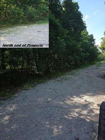
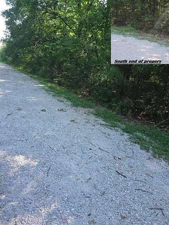
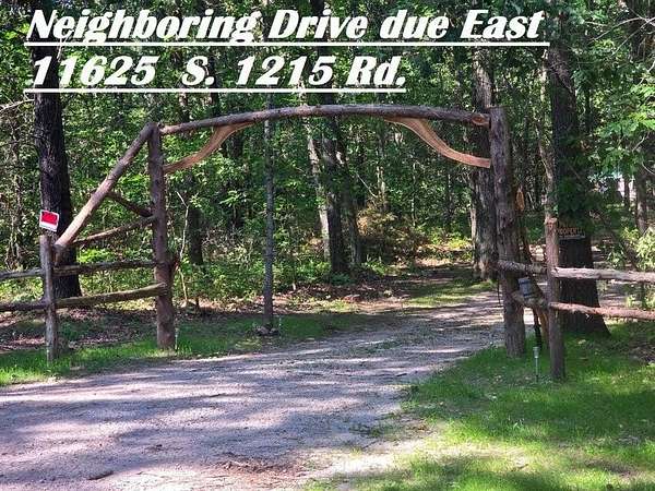
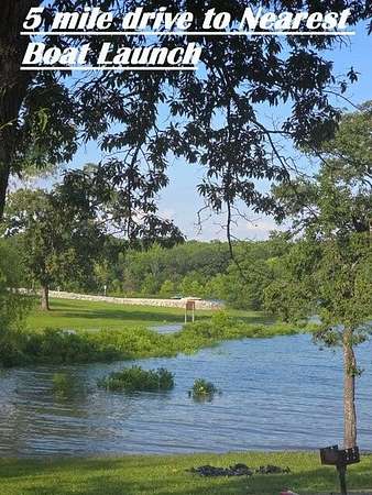
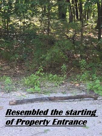
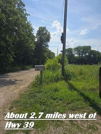
Directions: From Stockton Missouri Square... Go West on Hwy. 32 to Hwy 39, go North 2.4 Miles to 1100 Rd., Go West 2.7 Miles to 1215 Rd., go north 3 tenth of a mile and property is on the left (West Side)Legal Description: TANGLEWOOD ESTATES LOT 10
Property details
- Acreage
- 5.06 acres
- MLS #
- GSBOR 60306763
- Posted
Property taxes
- 2025
- $47
Parcels
- 10110200000000510
Details and features
Listing
- Type
- Land
- Franchise
- Century 21 Real Estate
Nearby schools
| Name | Type |
|---|---|
| Stockton | Elementary |
| Stockton | Middle |
| Stockton | High |
Listing history
| Date | Event | Price | Change | Source |
|---|---|---|---|---|
| Oct 9, 2025 | New listing | $50,000 | — | GSBOR |
Payment calculator
Contact listing agent
By submitting, I agree to the terms of use and to be contacted by . Message and data rates may apply.