Images
Map
Street
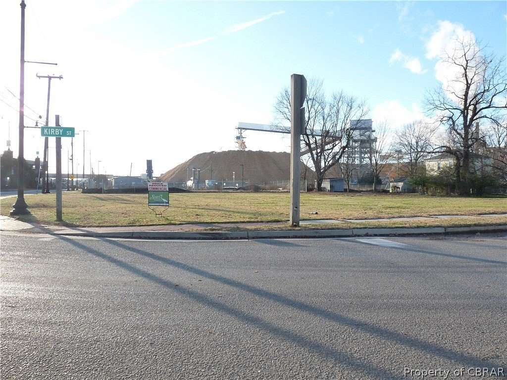
Commercial Land for Sale in West Point, Virginia
14th and Kirby St, West Point, VA 23181
$127,500
0.48 acres
Active
Est $951/moFour adjoining lots located in the Town of West Point near WestRock paper mill and other commercial and industrial properties. Large corner parcel cleared and ready for development. 0.48 of an acre. Zoned B-1 Highway Business. Frontage on two state roads. 15 minutes to I64, 20 minutes to Williamsburg and 40 minutes to Richmond International Airport or downtown Richmond.
Location
- Street address
- 14th and Kirby St
- County
- King William County
- Community
- King William
- Elevation
- 7 feet
Directions
From Hardees take 14th Street Service Road, lots on the right.
Property details
- Lot size
- 0.48 acres20,909 sq ft
- MLS #
- CBRAR 1938628
- Posted
Parcels
- 1092
- 1093
- 1094
- 69A3-82-1091
Legal description
C ST LOT 1091, 1092, 1093, 1094
Details and features
Listing
- Type
- Land
- Zoning
- B-1
Lot
- Features
- Buildable, Cleared
Structure
- Water
- Public
- Sewer
- Public Sewer
Nearby schools
| Name | Type |
|---|---|
| West Point | Elementary |
| West Point | Middle |
| West Point | High |
Listing history
| Date | Event | Price | Change | Source |
|---|---|---|---|---|
| Nov 8, 2025 | Back on market | $127,500 | — | CBRAR |
| Sept 30, 2025 | Under contract | $127,500 | — | CBRAR |
| Jan 8, 2020 | New listing | $127,500 | — | CBRAR |
Payment calculator
Contact listing agent
By submitting, I agree to the terms of use and to be contacted by real estate professionals. Message and data rates may apply.