Land for Sale in Mayer, Arizona
Yavapai County Mayer, AZ 86333
Images
Map
Street


$1,350,000
17.87 acres
Active sale agoEst $9,997/mo
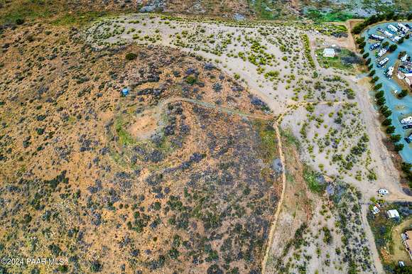
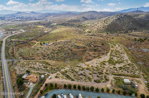
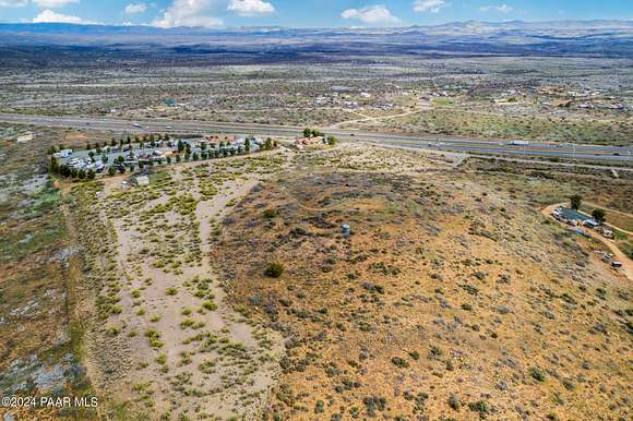
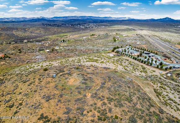
Redevelopment Opportunity in Mayer. 17.87 acres off of HWY 69 and directly next the Qual Ridge RV Park. Only 1.5 miles north of the I-17/HWY 69 Junction with high visibility north and south of HWY 69. Currently zoned residential and buyer to go through rezoning process. Call agent for details.
Directions
From Mayer head south approximately 7.5 miles south on HWY 69 towards Cordes Junction. Take a right on to Copper Start road just before the Qual Ridge RV Park. The property is directly south of the RV Park.
Location
- County
- Yavapai County
- Elevation
- 3,921 feet
Property details
- Zoning
- RCU-2A
- MLS Number
- PAAR 1062942
- Date Posted
Property taxes
- 2023
- $2,446
Parcels
- 500-06-016D
Legal description
AN IRREGULAR PORTION IN THE SE4 NE4 OF SECTION THE SW PARCEL CORN ER LYING APPROXIMATELY 1321' WEST FROM THE E4 CORNER OF SAID SECT ION CONTAIN 17.87 ACRES
Detailed attributes
Listing
- Type
- Land
- Franchise
- Keller Williams Realty
Lot
- Views
- Mountain, Panorama
Exterior
- Fencing
- Fenced
- Features
- Fencing
Listing history
| Date | Event | Price | Change | Source |
|---|---|---|---|---|
| June 13, 2024 | Price increase | $1,350,000 | $245,000 22.2% | PAAR |
| Mar 22, 2024 | New listing | $1,105,000 | — | PAAR |
Payment calculator
Brad Bergamini
Keller Williams Arizona Realty
Contact listing agent
By submitting, you agree to the terms of use, privacy policy, and to receive communications.