Images
Map
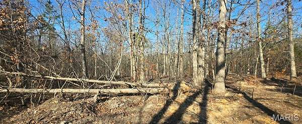
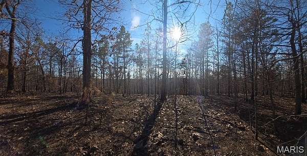
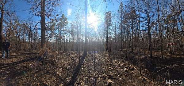
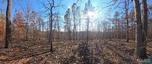
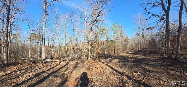
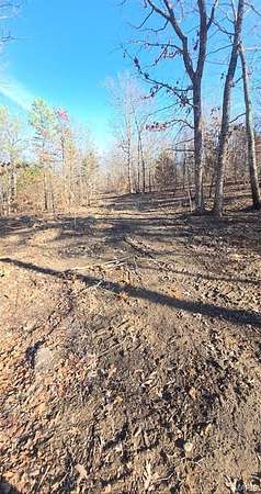
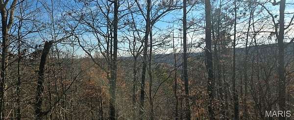
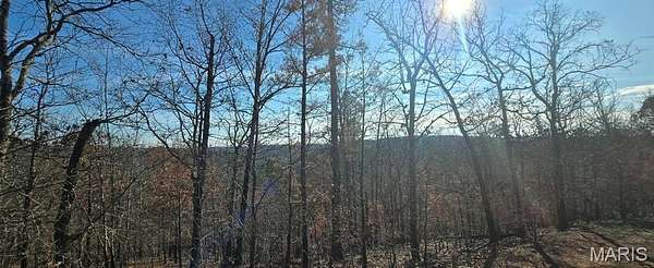
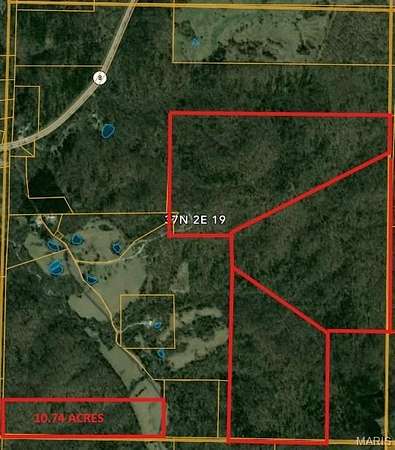
Agricultural Land for Sale in Potosi, Missouri
19-4.0-019-0 00-000-012.00000 Dr, Potosi, MO 63664
$82,320
13.7 acres
Active sale
Est $559/moLocation
- Street address
- 19-4.0-019-0 00-000-012.00000 Dr
- County
- Washington County
- Zip code
- 63664
- Community
- Potosi R-3
- School district
- Potosi R-III
- Elevation
- 1,001 feet
Property details
- Acreage
- 13.72 acres
- Zoning
- Agricultural
- MLS #
- MARIS 26014220
- Posted
Property taxes
- 2025
- $45 - PT NW1/4
Parcels
- 19-4.0-019-000-000-012.00000
Details and features
Listing
- Type
- Land
- Franchise
- Keller Williams Realty
Lot
- View
- Forest
- Features
- Agricultural, Bluff, Corners Marked, Heavy Woods, Many Trees, Native Plants, Private, Rock Outcropping, Rolling Slope, Sloped Up, Steep Slope, Undeveloped
Nearby schools
| Name | Type | District |
|---|---|---|
| Trojan Intermediate | Elementary | Potosi R-III |
| John A. Evans Middle | Middle | Potosi R-III |
| Potosi High | High | Potosi R-III |
Listing history
| Date | Event | Price | Change | Source |
|---|---|---|---|---|
| Mar 25, 2026 | New listing | $82,320 | — | MARIS |
Payment calculator
Contact listing agent
By submitting, I agree to the terms of use and to be contacted by . Message and data rates may apply.