Skip to main content
Skip to navigation
Properties
Find agent
Post property
Log in
•
Sign up
Search here
List
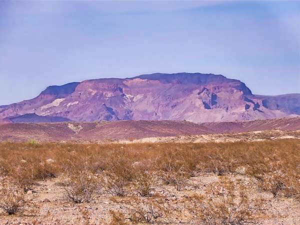
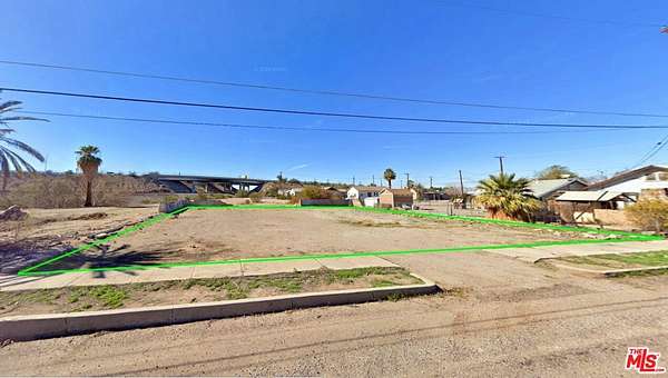
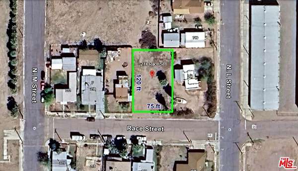
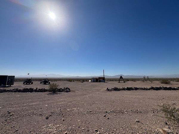
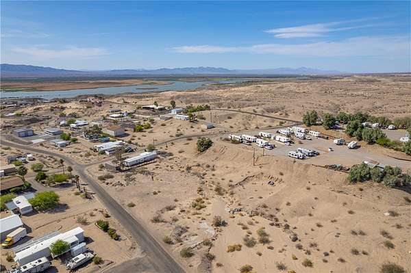
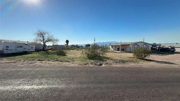
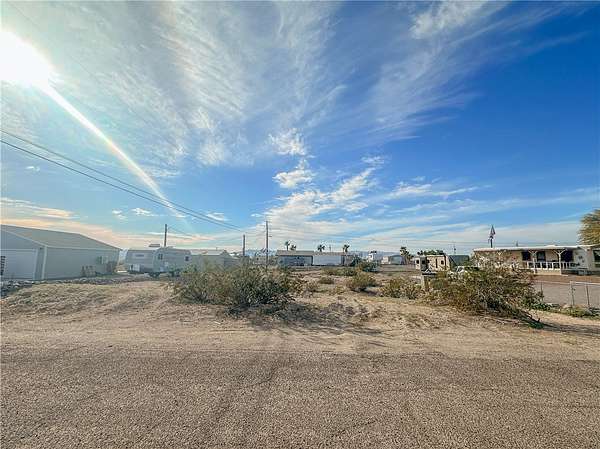
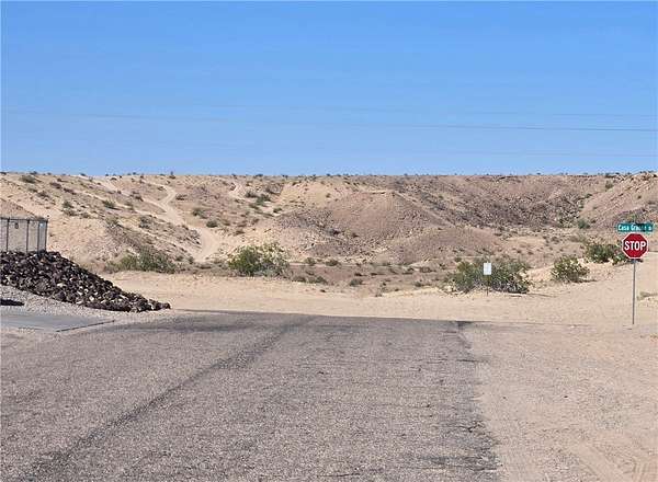
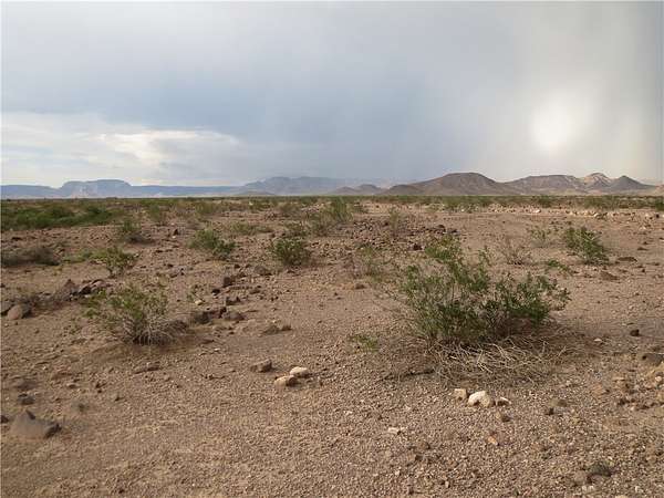
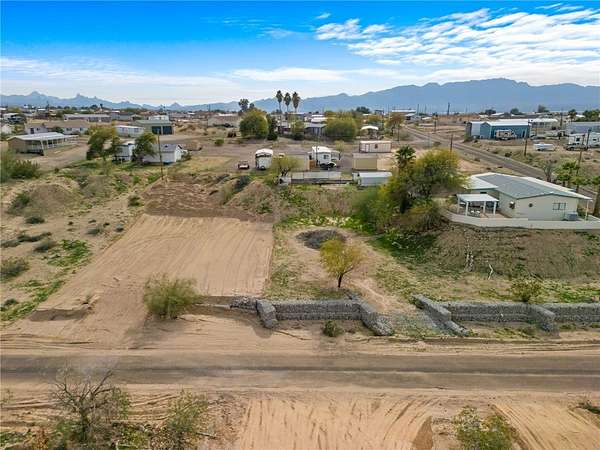
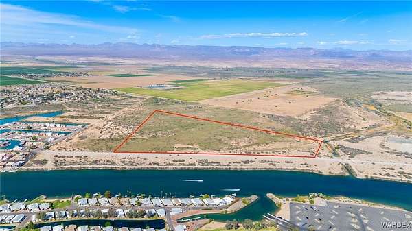
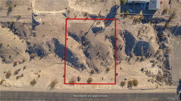
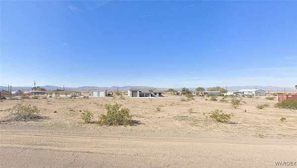
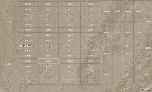
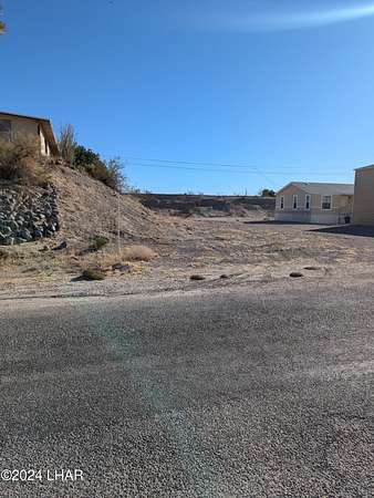
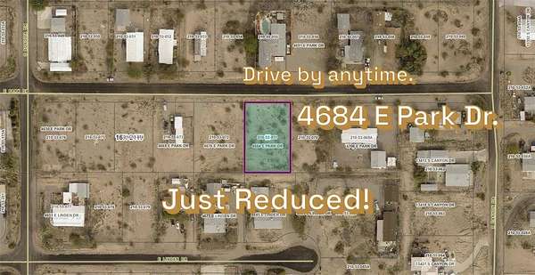
Topock, AZ land for sale
Price
Size
Tags
Save
64 properties
For you
Newest
Price: high to low
Price: low to high
Size: large to small
Size: small to large
Updated
Featured
2 months ago
$19,450
7 acres
Mohave County
Golden Shores, AZ 86413
Featured
7 months ago
$65,000
0.36 acres
San Bernardino County
Needles, CA 92363
Featured
7 months ago
$45,000
0.2 acres
San Bernardino County
Needles, CA 92363
$5.1k drop • Feb 17
$49,900
1.18 acres
Mohave County
Topock, AZ 86436
5 months ago
$27,000
0.34 acres
Mohave County
Topock, AZ 94558
2 months ago
$35,000
0.21 acres
Mohave County
Topock, AZ 86436
2 months ago
$37,000
0.26 acres
Mohave County
Topock, AZ 86436
6 days
$21,000
0.26 acres
Mohave County
Topock, AZ 86436
3 months ago
$55,000
0.37 acres
Mohave County
Topock, AZ 85086
5 months ago
$80,000
2.36 acres
Mohave County
Topock, AZ 86436
$5k drop • Feb 4
$15,000
10 acres
Mohave County
Topock, AZ 86436
12 days
$30,000
0.21 acres
Mohave County
Topock, AZ 92356
56 days ago
$24,900
0.26 acres
Mohave County
Topock, AZ 92584
2 months ago
$36,000
0.2 acres
Mohave County
Topock, AZ 86436
6 months ago
$1,450,000
83.2 acres
Mohave County
Topock, AZ 86436
5 months ago
$80,000
40 acres
Mohave County
Topock, AZ 86436
5 months ago
$90,000
40 acres
Mohave County
Topock, AZ 86436
5 months ago
$25,000
10 acres
Mohave County
Topock, AZ 86436
2 months ago
$24,900
0.27 acres
Mohave County
Topock, AZ 86436
11 months ago
$1,250,000
38.8 acres
Mohave County
Mohave Valley, AZ 86440
14 months ago
$23,000
0.3 acres
Mohave County
Topock, AZ 86436
12 days
$29,250
0.28 acres
Mohave County
Topock, AZ 86436
3 months ago
$89,000
0.43 acres
Mohave County
Topock, AZ 86436
5 months ago
$25,000
0.14 acres
Mohave County
Topock, AZ 86436
6 months ago
$36,000
0.27 acres
Mohave County
Topock, AZ 91214
6 months ago
$36,000
0.2 acres
Mohave County
Topock, AZ 86436
18 months ago
$249,000
498 acres
Mohave County
Topock, AZ 86436
6 months ago
$24,000
0.23 acres
Mohave County
Topock, AZ 86436
$2.5k drop • Jan 30
$32,500
0.14 acres
Mohave County
Topock, AZ 86436
$2.5k drop • Jan 30
$32,500
0.14 acres
Mohave County
Topock, AZ 86436
11 months ago
$36,000
0.22 acres
Mohave County
Topock, AZ 92571
12 months ago
$48,900
0.2 acres
Mohave County
Topock, AZ 86436
15 months ago
$28,000
0.14 acres
Mohave County
Topock, AZ 86436
$2.4k drop • Mar 18
$22,500
0.14 acres
Mohave County
Topock, AZ 86436
12 months ago
$3,999
2.36 acres
Mohave County
Topock, AZ 86436
15 months ago
$28,000
0.24 acres
Mohave County
Topock, AZ 86436
$3k drop • Mar 3
$19,000
0.28 acres
Mohave County
Topock, AZ 86436
Pending
Under contract
$27,500
0.28 acres
Mohave County
Topock, AZ 86436
2 months ago
$5,000
5 acres
Mohave County
Topock, AZ 86436
Pending
Under contract
$90,000
0.56 acres
Mohave County
Topock, AZ 86436
Pending
Under contract
$29,000
0.26 acres
Mohave County
Topock, AZ 90242
Pending
Under contract
$38,000
0.27 acres
Mohave County
Topock, AZ 92530
Pending
Under contract
$24,900
0.29 acres
Mohave County
Topock, AZ 86436
Pending
Under contract
$98,800
1 acre
Mohave County
Topock, AZ 86436
2 years ago
$34,900
0.27 acres
Mohave County
Golden Shores, AZ 86436
Pending
Under contract
$24,997
5 acres
Mohave County
Topock, AZ 86436
11 days
$29,500
49 acres
Mohave County
Topock, AZ 86436
22 days
$7.5k drop • Mar 25
$67,500
41.8 acres
San Bernardino County
Needles, CA 92363
44 days ago
$4,500
2.5 acres
Mohave County
Topock, AZ 86436
44 days ago
$4,500
2.53 acres
Mohave County
Topock, AZ 86436
1
2
1-50 of 64 properties
Map