Residential Land for Sale in Townsend, Montana
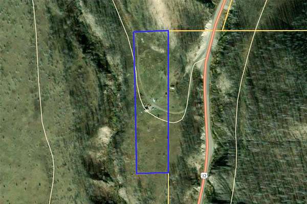
2010 US Highway 12 E, Townsend, MT 59644
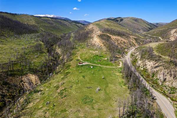
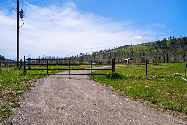
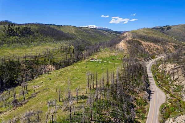
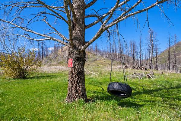
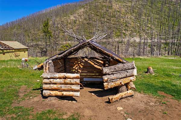
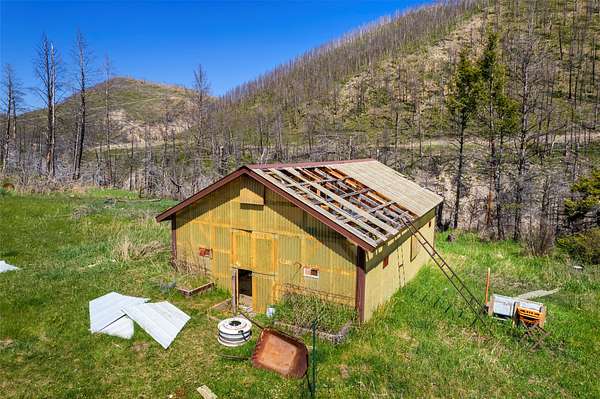
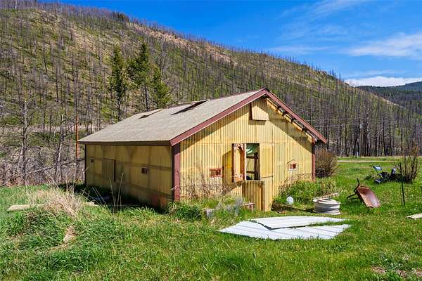
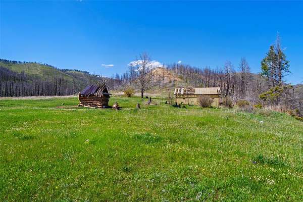
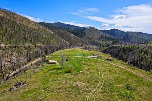
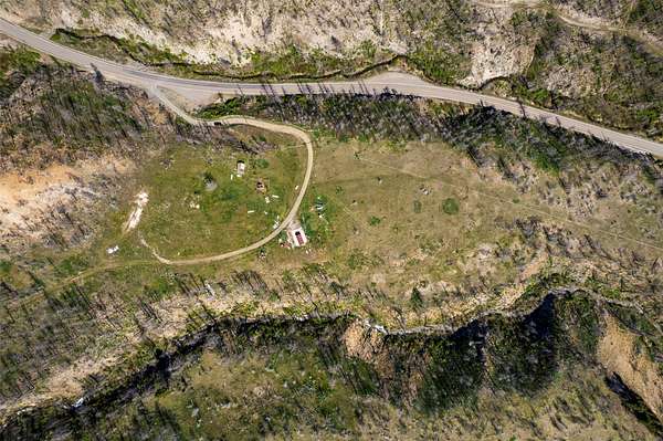
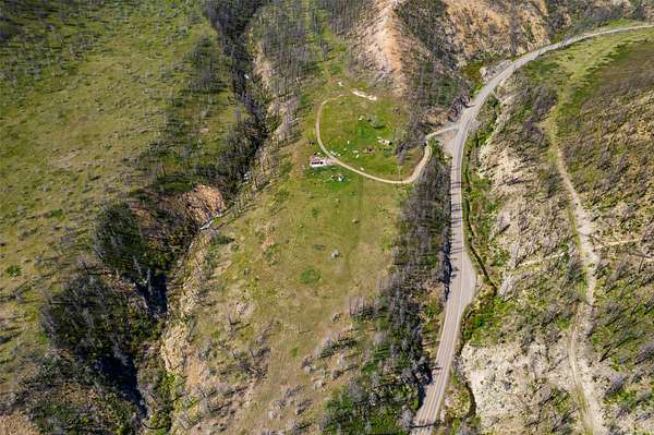
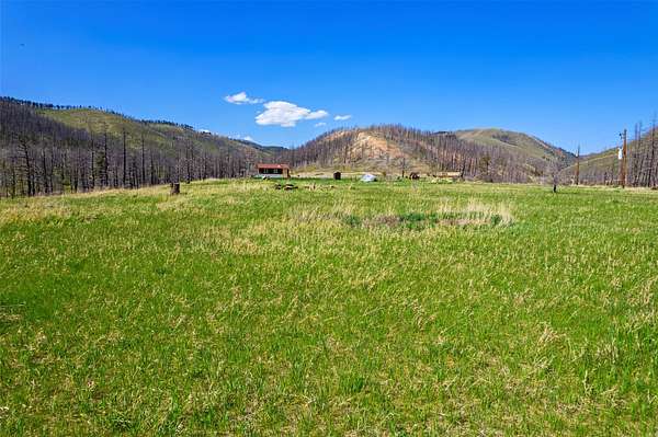
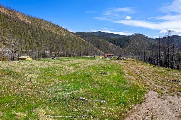
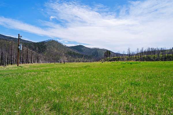
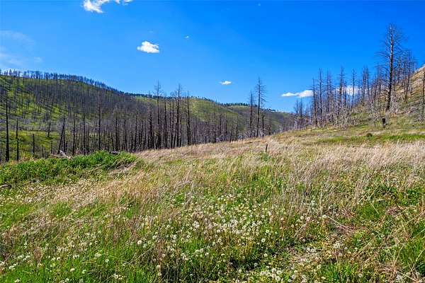
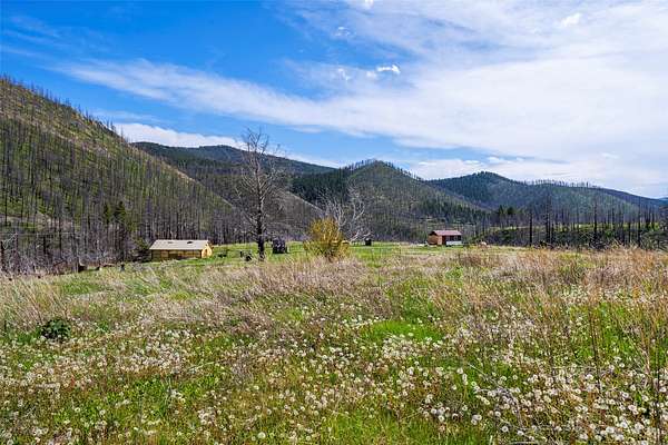
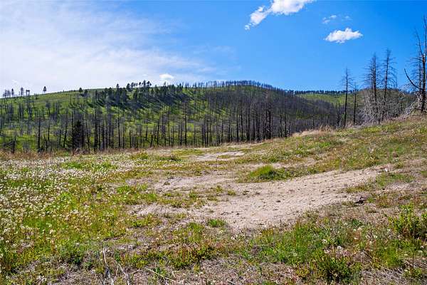
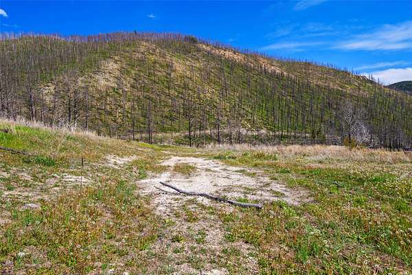
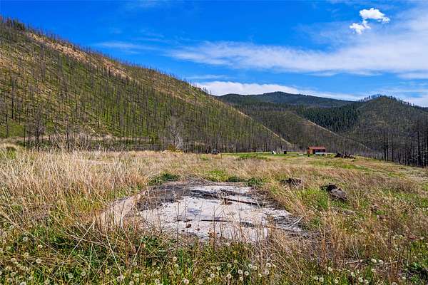
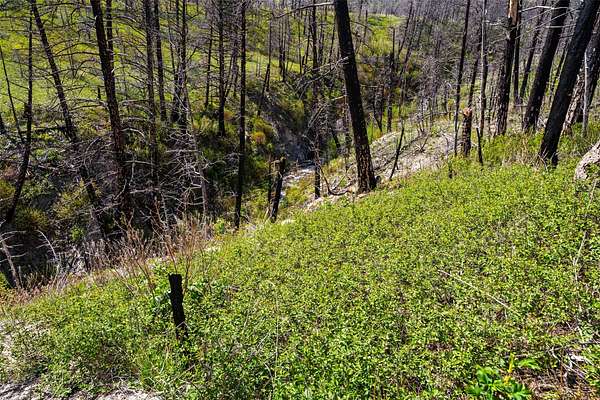
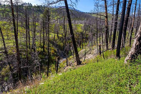
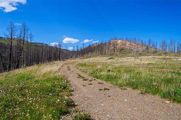
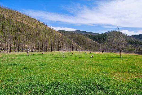
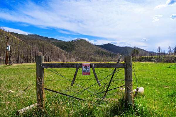
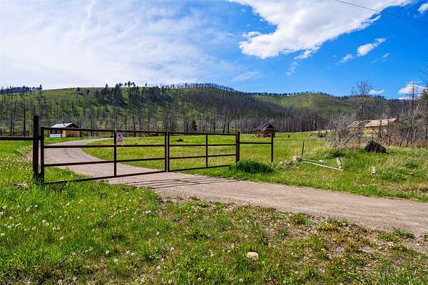
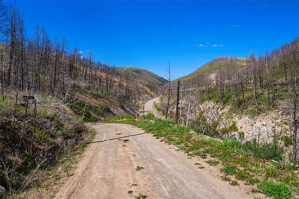
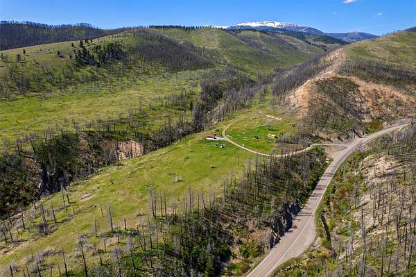
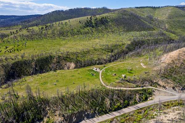
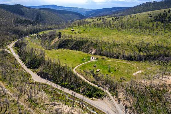
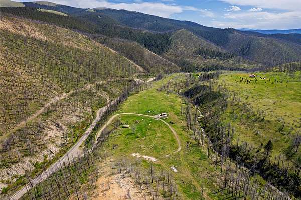
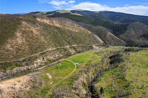
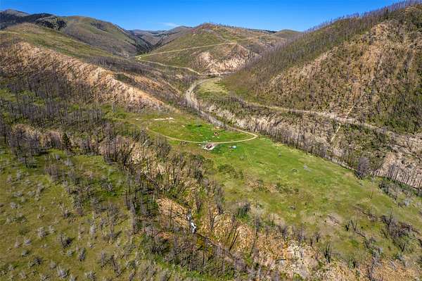
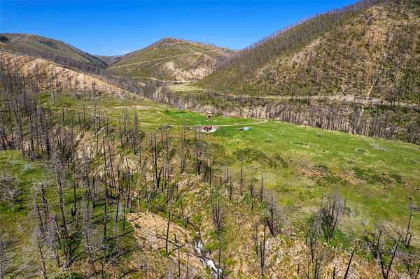
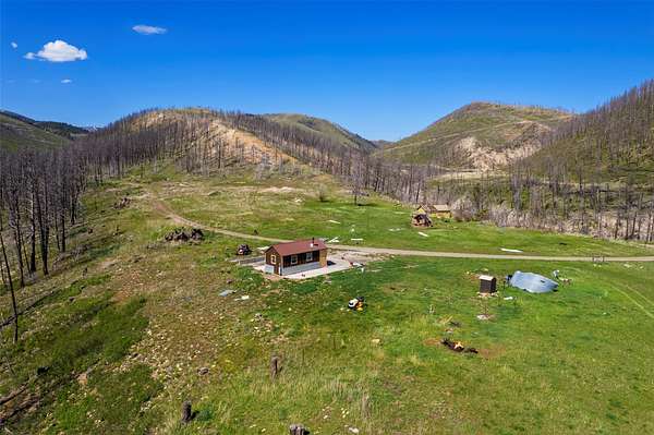
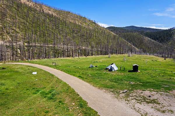
Looking for five unrestricted Montana acres where nobody handed you a rule book? This one is worth the drive. Just east of Townsend, this property sits in a beautiful mountain setting with an open meadow, big views, no covenants and no zoning reported. There was once a home here, but it was lost to wildfire in 2021. The land has been making a comeback ever since, with green grass and new growth across the property. An established domestic well is in place (137' deep, 10 GPM, 35' static level), along with a septic system from the former homesite. Neither has been used since the fire, so buyers will want to have both evaluated. Power is currently disconnected, with service in the area provided by NorthWestern Energy. A greenhouse remains on the property; the former bunkhouse/ shed has been removed and does not convey with the property . One important detail is the access. The property is reached from Highway 12 via a National Forest Service road under an easement/permit arrangement that requires periodic renewal. Buyers should verify the current status and renewal requirements with the U.S. Forest Service. The setting is hard to argue with. You're surrounded by mountain country, with Townsend, Canyon Ferry Lake and plenty of Montana recreation within reach. For buyers specifically looking for land without covenants there's room here to consider your own plans. Of course, "unrestricted" doesn't mean "anything goes," so buyers should verify intended uses and permitting requirements. It's beautiful, a little unconventional, and definitely not another cookie-cutter parcel in a subdivision. Come walk it and see what you think. Unaccompanied showings are not permitted; a licensed agent must be present.
Location
- Street address
- 2010 US Highway 12 E
- County
- Broadwater County
- Zip code
- 59644
- School district
- District No. 1
- Elevation
- 5,334 feet
Directions
From the US Hwy 12 & US Hwy 287 junction in downtown Townsend, head EAST on US Highway 12 E. Continue approximately 20 miles into the Deep Creek canyon. CAUTION: just past mile marker 20 there is a sharp HAIRPIN TURN-reduce speed and use care, especially in winter or icy conditions. The property is accessed immediately after the hairpin/mile marker 20 on US Hwy 12 E. Watch closely for signage. GPS/coordinates recommended for final approach.
Property details
- Acreage
- 5 acres
- MLS #
- MRMLS 30077981
- Posted
Property taxes
- 2025
- $897
Parcels
- 43159420201100000
Legal description
S20, T07 N, R05 E, 5 A TRACT
Details and features
Listing
- Type
- Land
Lot
- View
- Mountains
- Features
- Views
Structure
- Sewer
- Private Sewer, Septic Tank
Listing history
| Date | Event | Price | Change | Source |
|---|---|---|---|---|
| Sept 5, 2026 | New listing | $229,000 | — | MRMLS |