Land for Sale in Cool, California
3600 Lou Allen Ln, Cool, CA 95614
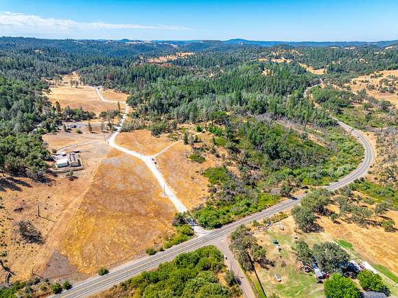
Cool Spring Estate is a 40.02 acre property located in El Dorado County and in the heart of California's Gold Country. Within a 30 minute drive to the cities of Auburn to the north and Placerville to the south along Highway 49, the landscape is rich in California history including historic gold discovery sites along the American River and the Georgetown Divide.
Land
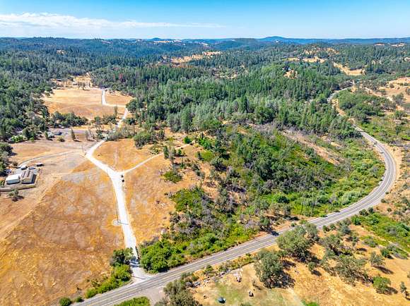
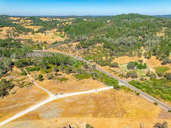
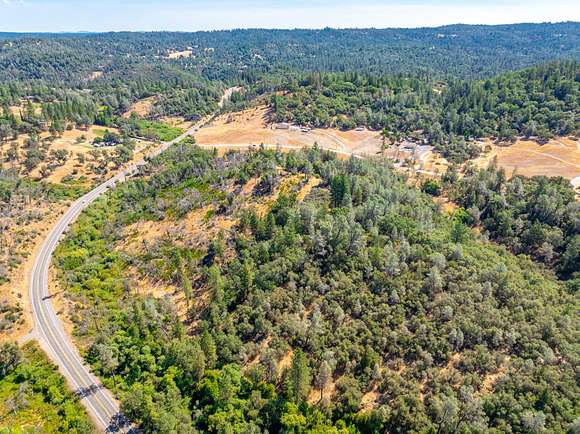
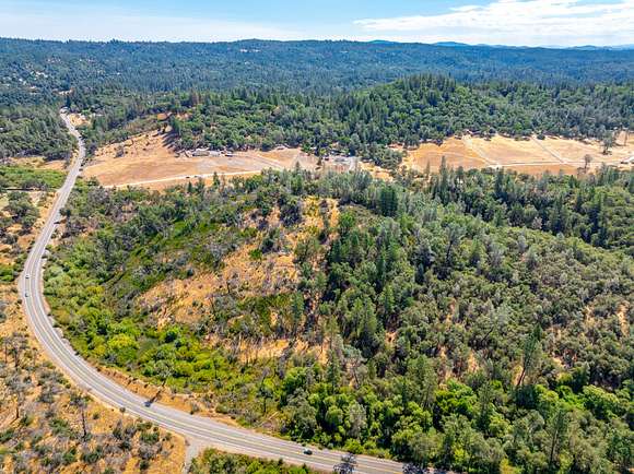
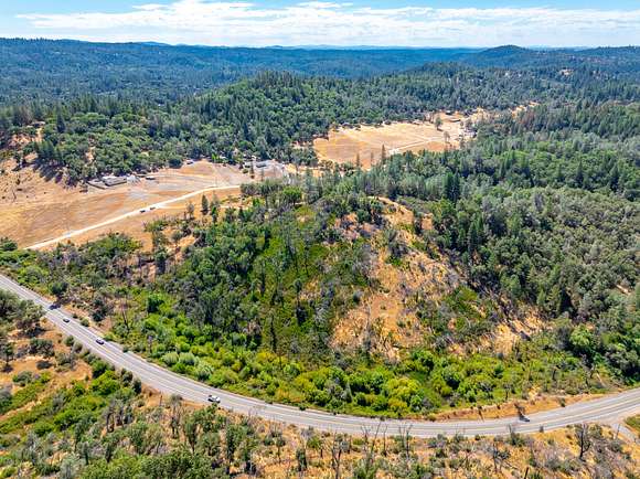
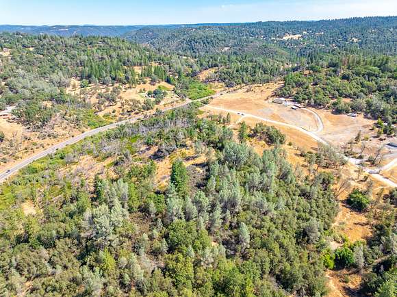
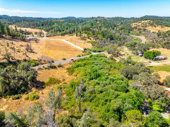
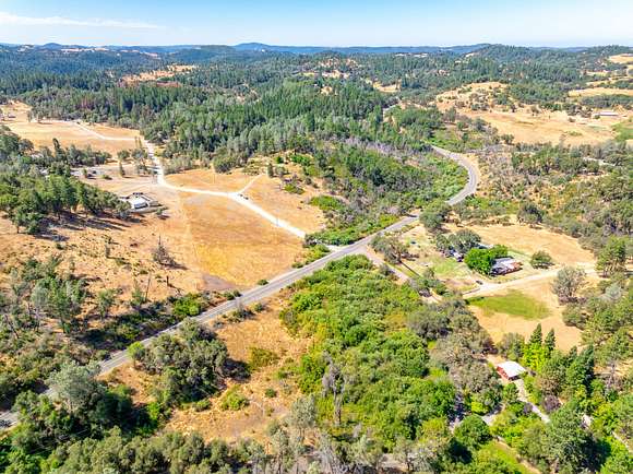
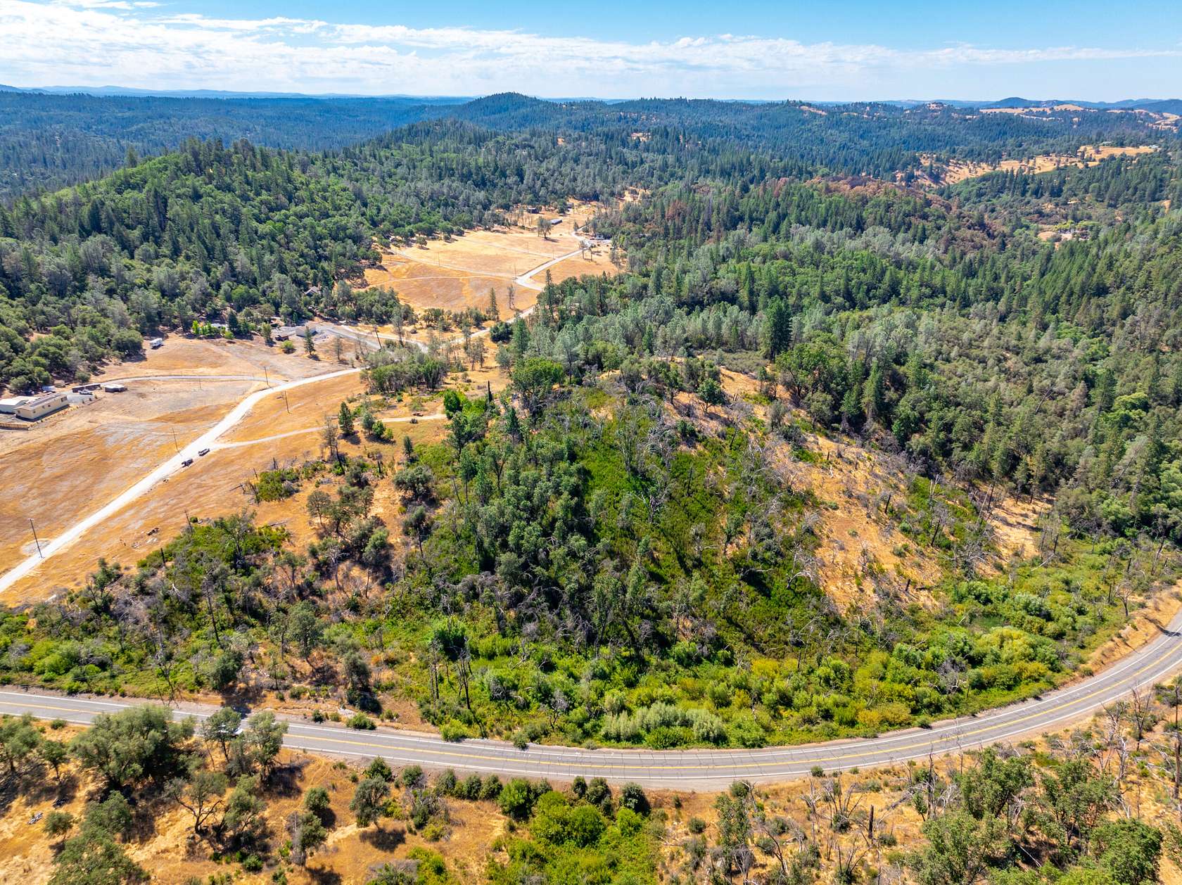
This unique property provides excellent opportunity for your country home and equestrian lifestyle. The property is zoned RE-10 (10-acre- Residential Estate), allowing the property to be subdivided into multiple 10-acre minimum parcels*. A majority of the property is accessed by Lou Allen Lane and lies south of HWY 193; and a small 3.5+/- acre portion falls north of HWY 193 adjacent to Circle Drive.
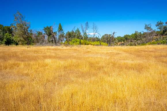
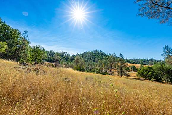
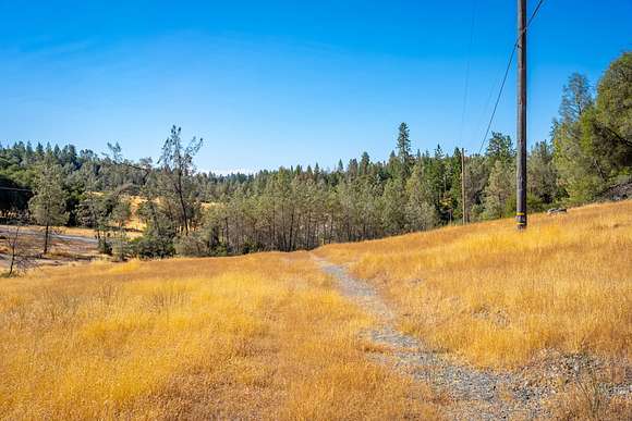
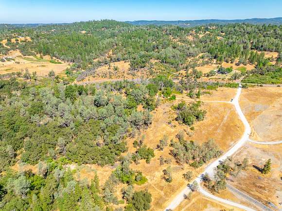
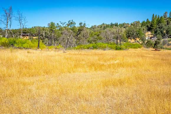
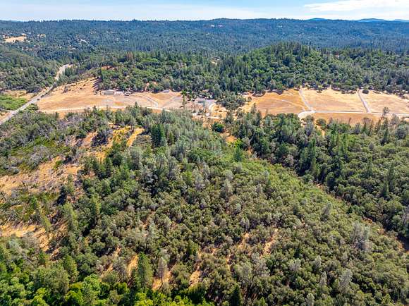
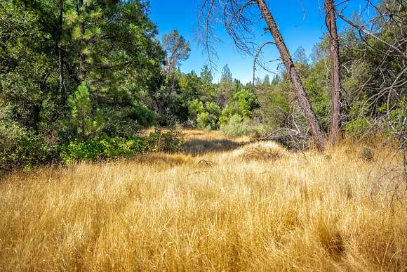
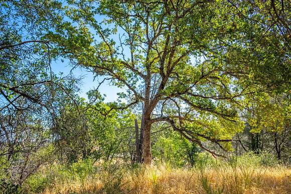
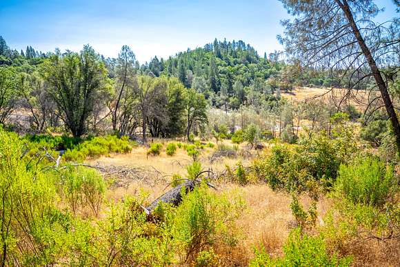
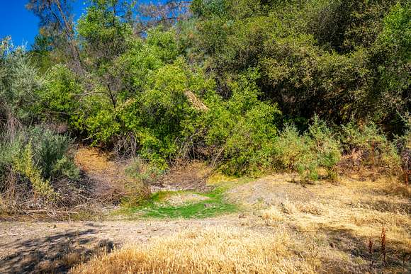
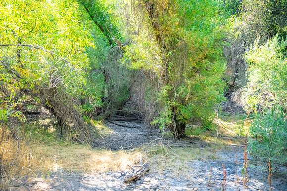
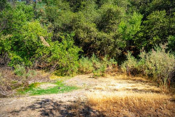
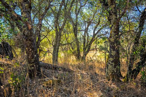
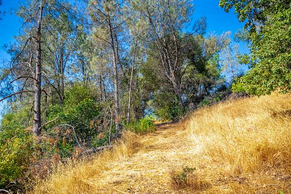
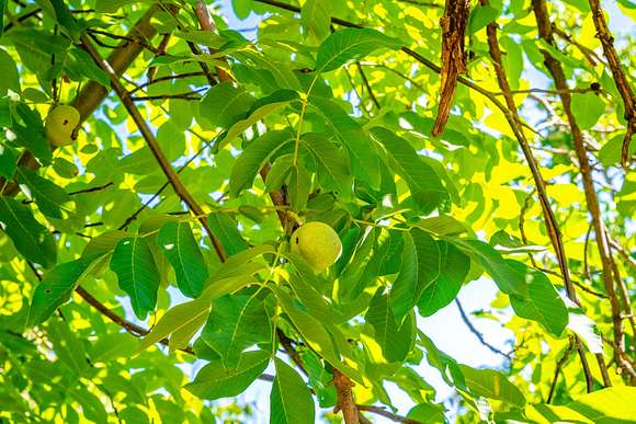
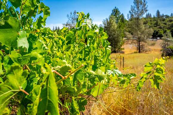
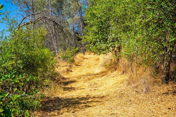
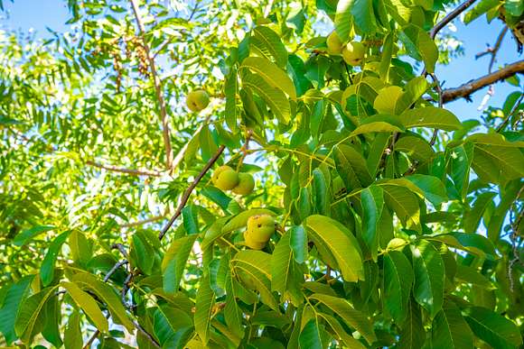
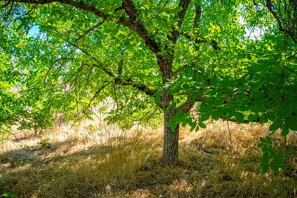
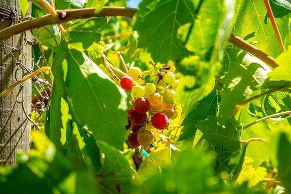
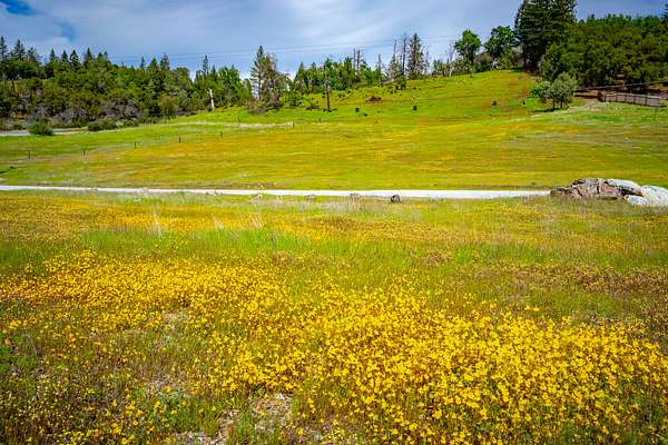
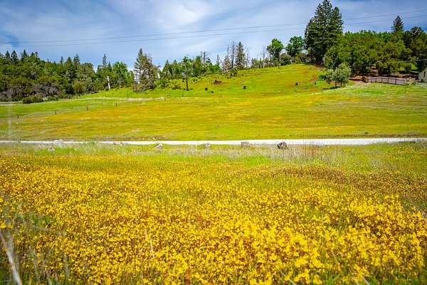
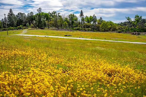
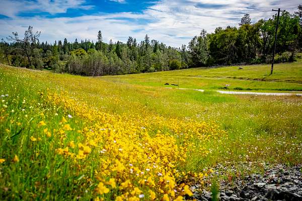
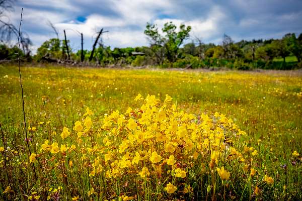
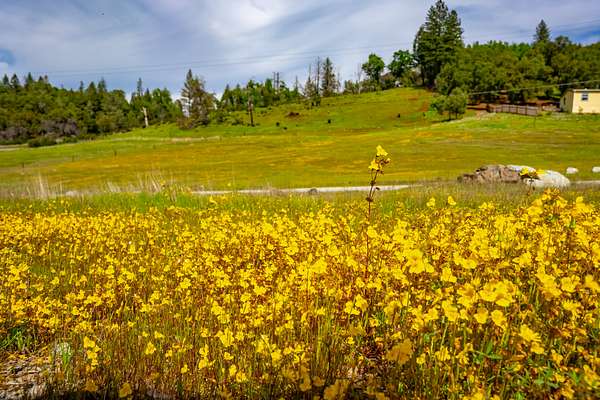
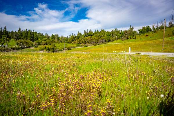
The land includes a mild to moderately sloped hill top, and gently sloped pasture areas with a rich variety of trees, shrubs, wildflowers, and grasses. Some of the tree species include Black Oak, Live Oak, Blue Pine, and Sugar Pine. Several springs and seasonal creeks occur on the property as well as a portion of the Georgetown Ditch. The former home site includes a garden with grape vines and several fruit and nut trees.
The property is accessed directly from Georgetown Road/ HWY 193 via Lou Allen Lane. There are several excellent building sites on the property that could be developed for a variety of uses, including: homes, barns, paddocks, outbuildings, storage for off-road and recreational vehicles, equipment and more. This land includes rich habitat for a variety of wildlife and supplies a wide range of opportunities for the outdoor and equestrian enthusiast.
*Subject to El Dorado County and other local zoning and development standards and guidelines.
Improvements
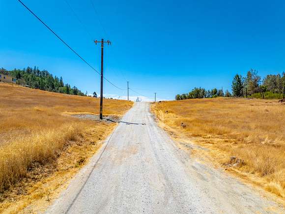
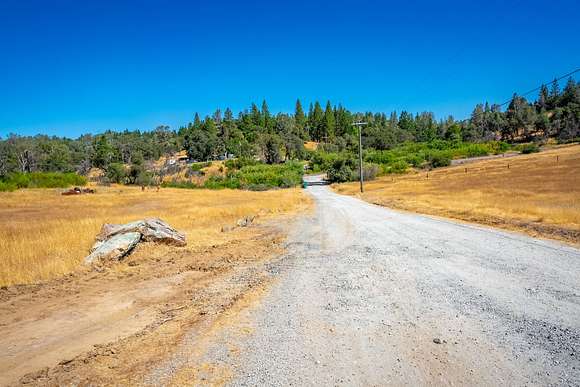
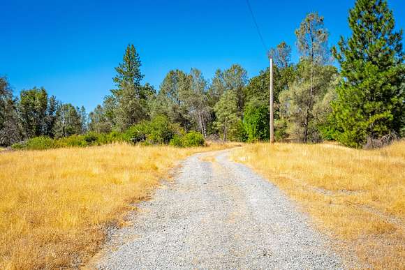
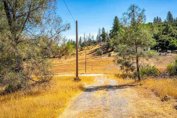
The property includes a former homesite with a well and septic installed on the central hillside, and a former accessory dwelling site with separate septic installed. A natural spring with springbox is located at the southeast property corner and is in use by land owner for supplemental water supply. Irrigation Water is also available from the Georgetown Public Utility District via a water ditch occuring on the property. Power is available on the property by an existing electric distribution line located on the property and currently servicing neighboring homes. Lou Allen Lane runs the length of the property and is a well-maintained 20-foot wide gravel road providing access to the estate and neighboring properties. A private gravel driveway leads from Lou Allen Lane to the former homesite on the hill. The property is partially fenced along Georgetown Road and the eastern property line.
Recreation
The foothill and mountain communities of El Dorado County and nearby Placer County, provide year-around delight and adventure. The Auburn State Recreation Area is minutes away providing access to over 100 miles of hiking and equestrian trials including the Western States Trail, as well as Class IV and V whitewater rafting and kayaking along the North and Middle Forks of the American River. The South Fork of the American River and its branches and tributaries are also a short drive away providing tremendous flyfishing opportunities along with white-water rafting and kayaking. The world-famous Rubicon Trail is nearby along with hundreds of miles of trails for your off-road adventures. There are a multitude of mountain and foothill lakes within a short drive including Stumpy Meadows Reservoir, Ice House Reservoir, Union Valley Reservoir, Lake Clementine, Folsom Lake, and many more. The Sierra Nevada and Foothills provide endless outdoor recreation activities including white-water rafting, gold prospecting, hiking, biking, camping, hunting, fishing, boating, wine tasting, dining, golfing, winter snow sports, summer water sports and everything in between are found in every direction. A sportsperson's paradise with endless recreational opportunities. See the Resource Links for much more information.
Agriculture
The property is primarily suitable for grazing of livestock with areas for potential limited cultivation (see Soils Report). 1 Miners Inch (11.22 gpm) of Irrigation water is available via the Georgetown Public Utilities District ditch that runs within the property boundary.
Water/Mineral Rights & Natural Resources
Water and mineral rights convey with the property.
Region & Climate
This easily accessed property is your gateway to Gold Country and Sierra Nevada adventures. Year-round sports, recreation, hunting and fishing are at your footsteps with numerous lakes, rivers, streams, campgrounds and public lands throughout the region. Sitting at just over 1,600 feet in elevation, the area provides excellent climate and weather for visitors and year-round residents. The quaint mountain and foothill towns nearby provide ample amenities including restaurants, breweries, shopping, farmers' markets, and artisan crafts.
History
Cool is a small town in El Dorado County. It has only one flashing red light at the intersection of Hwy 49 and Hwy 193. If you go straight on Hwy 49 you will come to Placerville, California (aka: Hangtown), but if you turn left at this intersection onto Hwy 193, you will be heading toward the town of Georgetown, CA, another historic town 14 miles down the road. Cool is approximately five miles from the confluence of the North and Middle Forks of the American River.
The Hwy 49 bridge that crosses at the confluence, marks the El Dorado and Placer county borders. The town of Cool is approximately 15 miles from Coloma, California where gold was discovered at Sutter's Mill; that discovery marked the beginning of the California "Gold Rush." Lastly, there is a trail through Cool that is unobstructed and goes clear to the Tahoe area (approximately 100 miles) known as the Western States Trail. This trail is used for annual long distance endurance races for runners and horse riders. The first post office was established in 1885. Penobscot Public House, established in 1850, was a way station and stage coach stop during the days of the Gold Rush. The famous Penobscot Ranch still exists today.
Location
Cool enjoys an enviable location near the historic city of Auburn, known for its outdoor activities set against the backdrop of farms, vineyards, and orchards. The strategic positioning gives you the most of two worlds: just an hour away from vast metropolitan delights in Sacramento and recreational possibilities in Lake Tahoe. The town is less than a half a day's drive from San Francisco or Reno and a few minutes to Georgetown, Greenwood, and Garden Valley. The close proximity to HWY 193, HWY 49, and I-80 also makes commuting and traveling significantly convenient.
Location
- Street address
- 3600 Lou Allen Ln
- County
- El Dorado County
- Elevation
- 1,600 feet
Directions
From Auburn, CA,: south on Hwy 49 towards Placerville, left on Georgetown Road/Hwy 193 at Cool, right on Lou Allen Lane.
Property details
- Acreage
- 40.02 acres
- Posted
Parcels
- 07410075
Resources
Listing history
| Date | Event | Price | Change | Source |
|---|---|---|---|---|
| Mar 11, 2025 | Price drop | $499,000 | $6,000 -1.2% | Listing agent |
| Aug 1, 2024 | New listing | $505,000 | — | Listing agent |
