11.3 Acres of Land for Sale in Cannon Falls, Minnesota
County 14 Lot#Wp002, Cannon Falls, MN 55009
Images
Map
Land id


$999,000
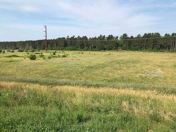
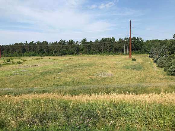
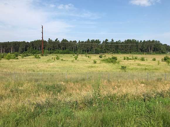
11.27 acres
Active sale agoEst $10,177/mo
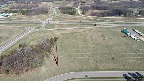
COMMERCIAL PROPERTY ALERT: This property is within the city limits and directly faces HWY 52 for excellent exposure. This property is deemed one of Southern MN's most desired commercial developmental properties. This property is between St. Paul and Rochester, Minnesota. City Sewer and water are literally at the doorstep of this property and ready to plugin. With close access to Highway 52, there is a lot of highway traffic exposure.
Property Features:
- Located in city limits
- Ready for commercial development
- Excellent highway exposure
- Flat grade to the land
- Located between Rochester and the Twin Cities
- Priced at a $2.03/per square foot
- Parcel will be split upon before sale if need be
- 20 additional acres available on West Side of 63rd Avenue (See property listing 31 acres)
Property details
- County
- Goodhue County
- Elevation
- 925 feet
- Date Listed
Parcels
- 52.530.0010
Property taxes
- 2024
- $9,680 - Annual property tax
Listing history
| Date | Event | Price | Change | Source |
|---|---|---|---|---|
| Apr 5, 2022 | Back on market | $999,000 | $424,000 73.7% | — |
| Nov 1, 2021 | Under contract | $575,000 | — | — |
| Feb 11, 2020 | New listing | $575,000 | — | — |
Payment calculator
Contact listing agent
By submitting, you agree to the terms of use, privacy policy, and to receive communications.