Residential Land for Sale in Bandon, Oregon
Coos County, Bandon, OR 97411
8.96 Acres at the Crossroads of Bandon's West-Side Growth
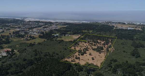
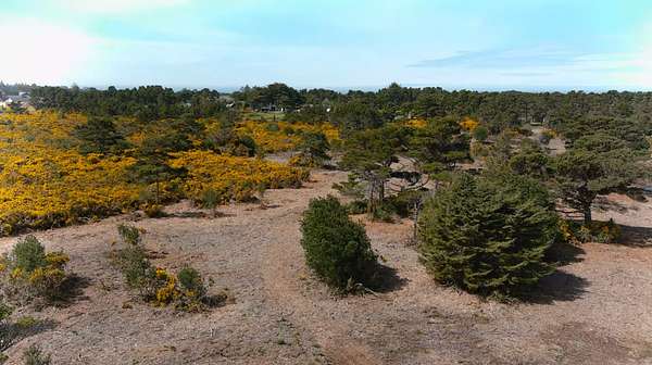
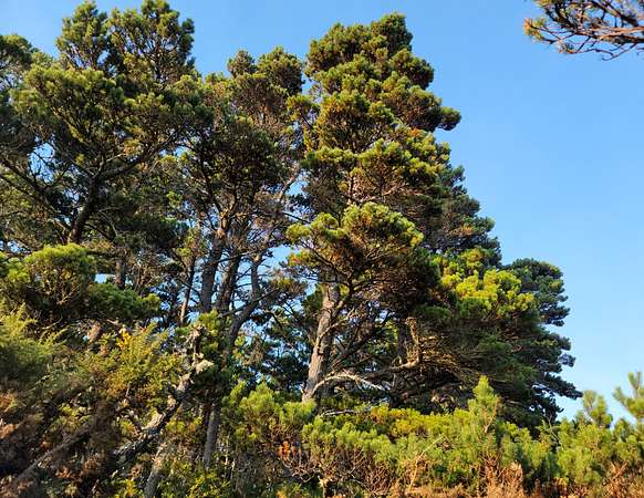
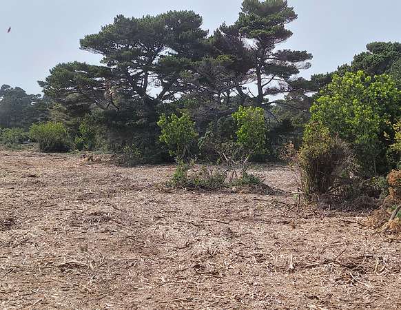
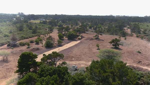
Rare 8.96-acre coastal property on Bandon's west side, inside the Urban Growth Boundary and west of U.S. Highway 101. The property is largely cleared and level, with retained mature shore pines, established interior access, and an existing homesite.
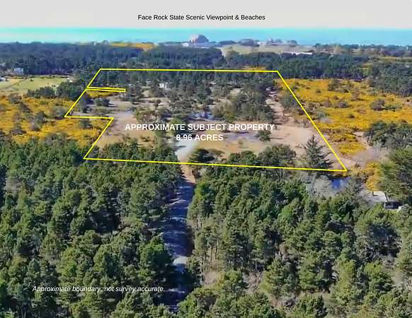
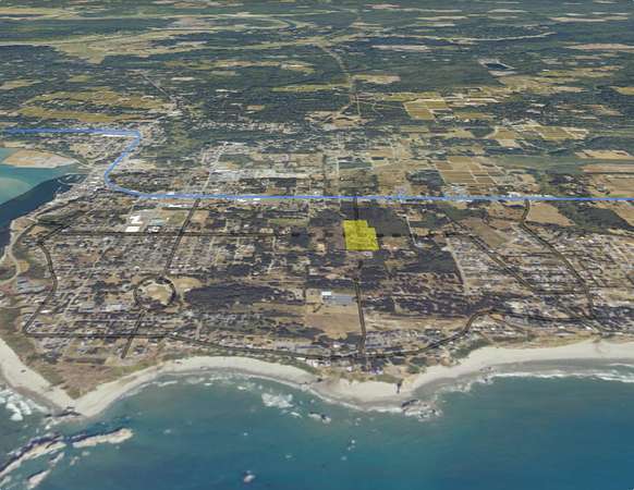
The acreage lies between Highway 101 and Bandon's coastal neighborhoods, near Face Rock and the Pacific Ocean. Its location, size, existing historic platting, and relationship to planned transportation and utility improvements distinguish it from typical rural acreage.
Property Highlights
- 8.96 acres across five tax parcels
- West of U.S. Highway 101
- Inside the Bandon Urban Growth Boundary
- Largely cleared, generally level terrain
- Mature shore pines retained throughout portions of the property
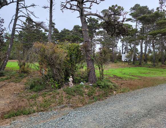
- Existing homesite with driveway, well and septic
- Interior access throughout much of the acreage
- Numerous historically platted 25' x 100' lots within the property
- Pacific Ocean and Face Rock nearby
- No mapped wetlands shown on the governmental mapping used for the property
- Property lies outside the mapped tsunami inundation area
Location & Connectivity
Face Rock Heights occupies a strategic location between U.S. Highway 101 and the established coastal neighborhoods west of the highway.
The planned 21st St SW corridor would extend west from Highway 101 through this area toward the coast, providing an important east-west connection. Planning materials also identify a multi-use path component along the corridor.
The property is positioned along this future connection, creating substantially improved pedestrian and vehicle connectivity between Highway 101, the property, and Bandon's coastal area.
Face Rock State Scenic Viewpoint and the beach are nearby. With completion of the planned connection, the walking route from the property to the coast is approximately one-half mile.
Planning & Development Context
The property is currently within Coos County jurisdiction and zoned UR-2 while lying inside Bandon's Urban Growth Boundary.
The surrounding area is undergoing a transition toward more urban levels of infrastructure and development. Planning for the area includes the 21st St SW collector corridor and extension of city utilities through the corridor.
Any annexation, zoning changes, subdivision or development remain subject to applicable governmental review and approval.
A significant distinction is the property's existing subdivision history. Face Rock Heights encompasses 154 previously platted residential lots, generally measuring 25' x 100', now consolidated within five tax parcels under common ownership. Unlike typical unplatted acreage, the property already has an established residential lot-and-block configuration. This historic subdivision pattern may provide valuable flexibility for future development planning as municipal infrastructure expands. Development of individual lots remains subject to current zoning, access, utilities and applicable approvals.
Site Conditions
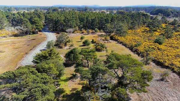
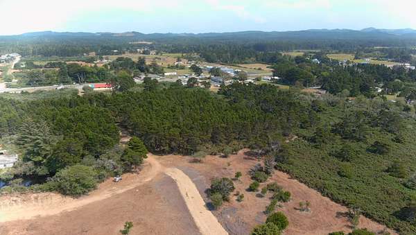
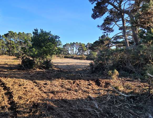
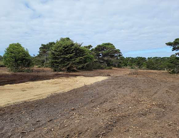
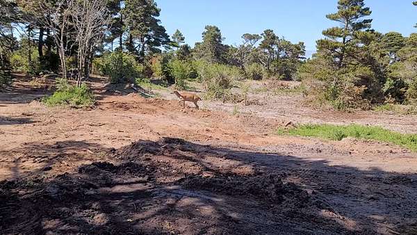
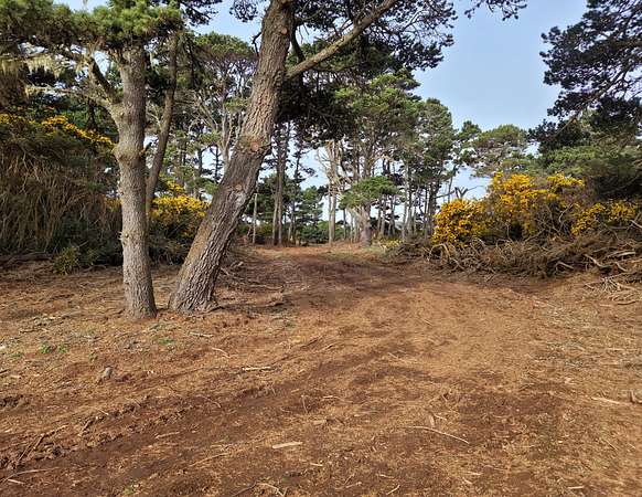
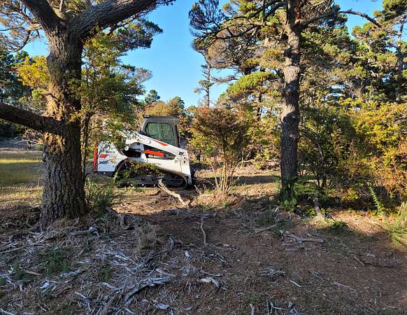
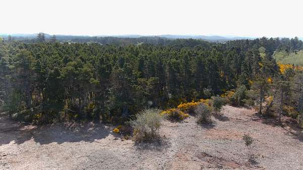
The property was formerly covered extensively with mature coastal gorse. Much of that vegetation has been mechanically cleared, opening the site and making its terrain, interior access and retained tree structure readily visible.
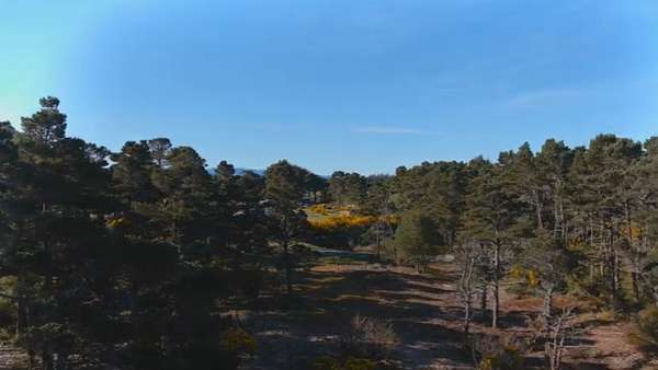
The resulting property combines substantial open acreage with groups of mature shore pines and wooded edges.
Drone photography in the listing shows the property from multiple elevations and directions, including views toward the Pacific Ocean, Face Rock, Highway 101 and the surrounding west-side area.
Property visits are by appointment only.
Location
- County
- Coos County
- Zip code
- 97411
- Community
- SW Bandon
- School district
- Bandon School District 54
- Elevation
- 83 feet
Directions
From U.S. Highway 101 at Mile Marker 275, proceed west on 21st St SW (unmarked) approximately 1,200 feet to the end of the gravel road.
Property details
- Acreage
- 8.96 acres
- Zoning
- UR-2
- Access
- Public road
- Showing
- Appointment only
- Posted
Property taxes
- 2025
- $1,980 - Five tax lots and mobile home
Parcels
- 28S 15W 36AC Parcel 2101
- 28S 15W 36AC Parcel 2200
- 28S 15W 36AC Parcel 2300
- 28S 15W 36AC Parcel 3100
- 28S 15W 36AD Parcel 3301
Legal description
Lots 1 through 22, inclusive, Block 9, and Lots 1 through 11, inclusive, Block 10, all in Plat of Smith's First Addition to Bandon, Coos County, Oregon.
Lots 1 through 22, inclusive, Block 7, and Lots 1 through 4, inclusive, and Lots 11 through 40, inclusive, Block 8, Lots 1 through 34, inclusive, and Lots 36 through 40, inclusive, Block 11.
Lots 1 through 20, inclusive, in Block 12, all in Bennett's Plat "B" Addition to Bandon, Coos County, Oregon.
Lots 5, 6, 7, 8, 9 and 10, Block 8, Bennett's Plat "B" Addition to Bandon, Coos County, Oregon.
Details and features
Lot
- View
- Mountain, Scenic, Woods
- Features
- Partially Wooded
Exterior
- Parking Spaces
- 5
- Parking
- Driveway, Parking Pad
- Features
- Outbuilding
Property utilities
| Category | Type | Status |
|---|---|---|
| Internet | Cable | Connected |
| Power | Grid | Connected |
Nearby schools
| Name | Type | District |
|---|---|---|
| Ocean Crest Elementary | Elementary, Public | Bandon School District 54 |
| Harbor Lights Middle School | Middle, Public | Bandon School District 54 |
| Bandon High School | High, Public | Bandon School District 54 |
Listing history
| Date | Event | Price | Change | Source |
|---|---|---|---|---|
| Sept 23, 2026 | New listing | $2,250,000 | — | Property seller |