Land for Sale in Summersville, Missouri
Date Dr, Summersville, MO 65571
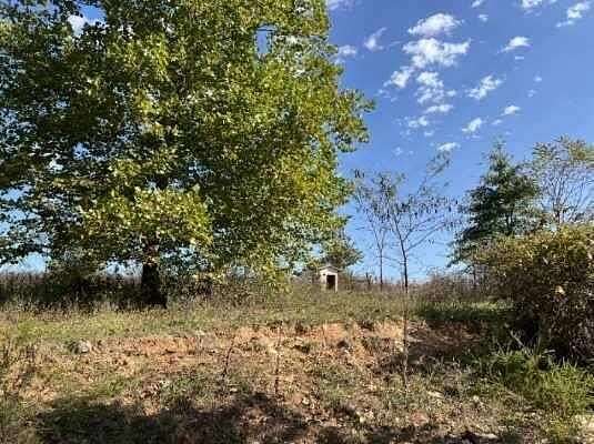
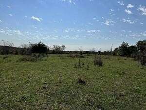
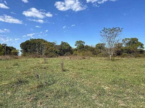
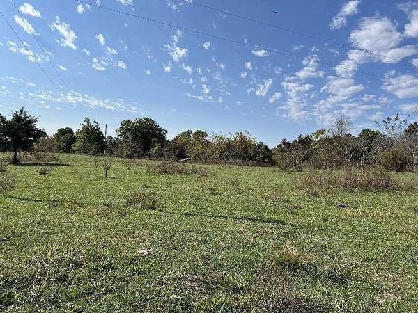
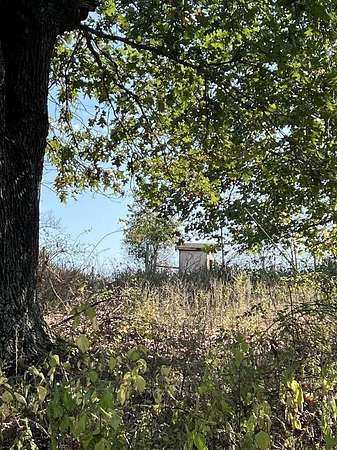
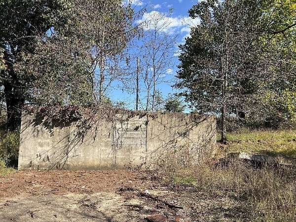
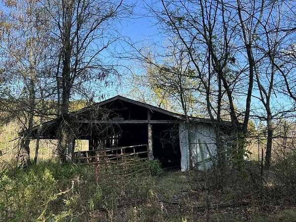
Look At This One! 40 acres fenced with an older home place with drilled well and electric. There is an older barn with stalls and there is a concrete structure where an earth berm home burned. The property is a corner lot and has gravel road on 2 sides with an entrance through a gate in the middle of the property. There are turkey and deer and the Jack Fork river is less than a mile away! Come Check This One Out!
Location
- Street address
- Date Dr
- County
- Texas County
- Zip code
- 65571
- Elevation
- 1,084 feet
Directions
Take Hwy. 17 North drive towards Summersville. Turn left at Jct. W (Arroll). Continue on Hwy. W to the bend in the highway,(Rock Church) continue straight on to the gravel travel to the first set of crossroads. Turn Left at the crossroads this is Date Drive (no Sign). Drive down the gravel road to the bend in the road to the right, the land on the corner is the property. Go to the gate. Sign Here
Property details
- Acreage
- 39.14 acres
- MLS #
- GSBOR 60308048
- Posted
Property taxes
- 2024
- $200
Parcels
- 34-0.4-18-000-000-007.01
Details and features
Listing
- Type
- Land
Lot
- Features
- Acreage, Corner Lot, Few Trees, Horses Allowed, Pasture, Pond(s), Valley View
Exterior
- Fencing
- Barbed Wire
Property utilities
| Category | Type | Status |
|---|---|---|
| Power | Grid | Available |
Nearby schools
| Name | Type |
|---|---|
| Summersville | Elementary |
| Summersville | Middle |
| Summersville | High |
Listing history
| Date | Event | Price | Change | Source |
|---|---|---|---|---|
| Oct 21, 2025 | New listing | $240,000 | — | GSBOR |