Land for Sale in High Ridge, Missouri
Highway Pp High Ridge, MO 63049
Image
Map
Street
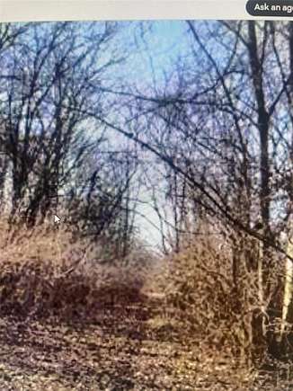
$49,900
4.18 acres
Active sale$3.1k dropEst $386/mo
Location
- Street Address
- Highway Pp
- County
- Jefferson County
- Community
- Dell Donald
- School District
- Northwest R-I
- Elevation
- 801 feet
Property details
- Zoning
- R1
- MLS Number
- MARIS 24023747
- Date Posted
Property taxes
- 2023
- $287
Parcels
- 03-6.0-23.0-1-001-043
Nearby schools
| Name | Level | District | Description |
|---|---|---|---|
| High Ridge Elem. | Elementary | Northwest R-I | — |
| Northwest Valley School | Middle | Northwest R-I | — |
| Northwest High | High | Northwest R-I | — |
Listing history
| Date | Event | Price | Change | Source |
|---|---|---|---|---|
| Aug 16, 2024 | Price drop | $49,900 | $3,100 -5.8% | MARIS |
| Apr 19, 2024 | New listing | $53,000 | — | MARIS |
Payment calculator
Jeffrey Allensworth
Wood Brothers Realty
Contact listing agent
By submitting, you agree to the terms of use, privacy policy, and to receive communications.