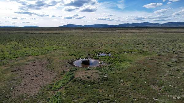
343 Acres of Land for Sale in Ironside, Oregon

John Day Hwy E, Ironside, OR 97908

Images
Map
Street
1 / 8
$625,000
342.76 acres
Active sale agoEst $5,867/mo

A get-away acreage in a small town away from it all but with good road access. This 342+- acres offers plenty of room to roam where sagebrush blends with native grasses providing a great landscape for elk, deer and cattle. Lost Valley Creek also meanders through the property in addition to springs, providing that essential water component. The south boundary borders the highway offering direct access to that land and power and fiber optic cable. BLM lands are nearby expanding your outdoor playground. Additional 825 acres available next door. Ironside Mountain, Cow Valley Butte and Juniper Mountain are all in close proximity and less than an hour to Vale, Oregon.

Directions

Approximately 4 miles east of Ironside on North side of John Day Highway

Property details

Coordinates
44.3066, -117.8651
Elevation
3,720 feet
MLS Number
IMLS 98900743
Date Listed

Parcels

  • 2800

Property taxes

2023
$56

This 342.76-acre property is located at John Day Hwy E in Ironside, OR 97908 with latitude 44.3066 and longitude -117.8651. The property is currently available for sale for $625,000 with a price per acre of $1,823. Listing data is sourced from Intermountain Multiple Listing Service # 98900743.

Verify sale details at the property source or contact Knipe Land Company at (208) 345-3163.

Report listing issue

Copyright (C) 2024 Intermountain Multiple Listing Service. All rights reserved. All information provided by the listing agent/broker is deemed reliable but is not guaranteed and should be independently verified.

Listing checked and updated . Parcel data by Regrid.

Contact listing agent Message rules
By submitting, you agree to the terms of use, privacy policy, and to receive communications.