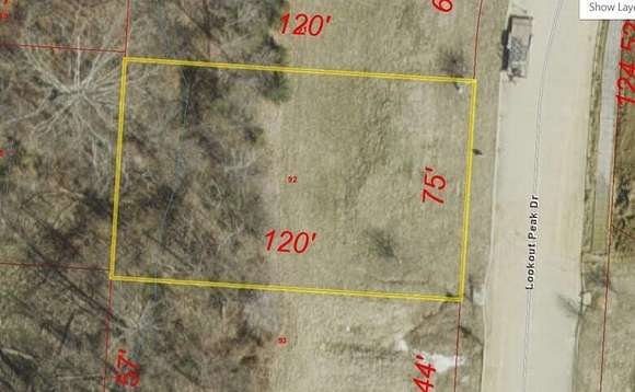
Residential Land for Sale in Columbia, Missouri
Lookout Peak Columbia, MO 65202
Images
Map
Street
$35,000
0.21 acres
Active
$1k dropEst $292/moDirections
5213 Lookout Peak Drive. Permit Ready-All Utilities to Site.
Location
- Street Address
- Lookout Peak, Lot 20
- County
- Boone County
- Community
- Forest Ridge
- School District
- Columbia
- Elevation
- 725 feet
Property details
- Zoning
- R-1 One Family Dwelling*
- MLS Number
- CBORMLS 418839
- Date Posted
Expenses
- Home Owner Assessments Fee
- $143 annually
- Home Owner Assessments Fee
- $143
Parcels
- 1190700010920001
Legal description
Forest Ridge Plat 2 Lot 20
Detailed attributes
Listing
- Type
- Land
Exterior
- Features
- Rolling Slope
Nearby schools
| Name | Level | District | Description |
|---|---|---|---|
| Alpha Hart Lewis | Elementary | Columbia | — |
| West | Middle | Columbia | — |
| Battle | High | Columbia | — |
Listing history
| Date | Event | Price | Change | Source |
|---|---|---|---|---|
| Feb 5, 2025 | Price drop | $35,000 | $1,000 -2.8% | CBORMLS |
| Jan 4, 2025 | Price drop | $36,000 | $1,000 -2.7% | CBORMLS |
| Dec 12, 2024 | Price drop | $37,000 | $1,000 -2.6% | CBORMLS |
| Aug 27, 2024 | Relisted | $38,000 | — | CBORMLS |
| Aug 15, 2024 | Listing removed | $38,000 | — | Listing agent |
| May 9, 2024 | Price increase | $38,000 | $1,000 2.7% | CBORMLS |
| Mar 15, 2024 | New listing | $37,000 | — | CBORMLS |
Payment calculator
Brooke McCarty
Weichert, Realtors - First Tier
Contact listing agent
By submitting, you agree to the terms of use, privacy policy, and to receive communications.