Skip to main content
Skip to navigation
Properties
Find agent
Post listing
Log in
•
Sign up
Search here
List
Columbia, MO land for sale
Price
Size
Tags
Save
7 properties
Updated
For you
Newest
Price: high to low
Price: low to high
Size: large to small
Size: small to large
Updated
$20k drop • Jan 13
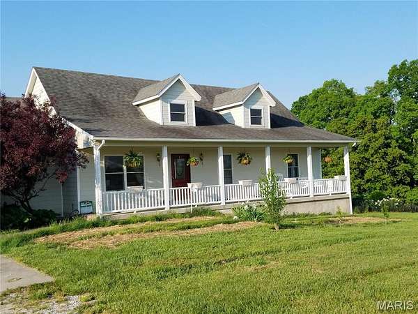
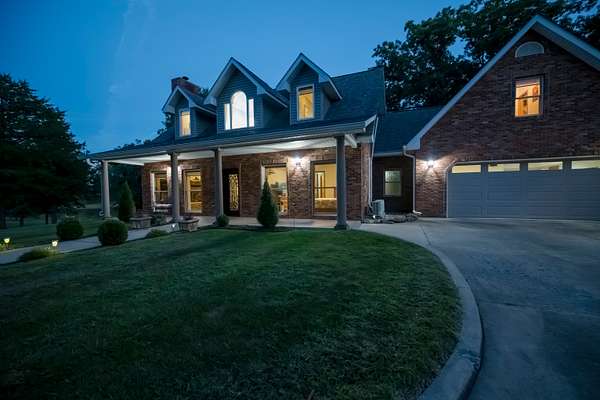
$729,000
10 acres
Boone County
5 bd, 4 ba
•
3,861 sq ft
Hartsburg, MO 65039
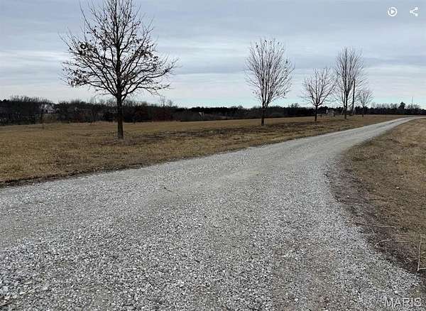
$20k drop • Jan 13
$229,000
10 acres
Boone County
Hartsburg, MO 65039
9 months ago
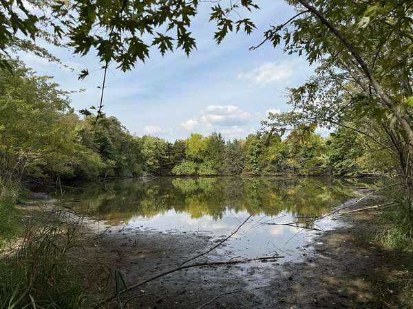
$1,380,000
69 acres
Boone County
Hallsville, MO 65255
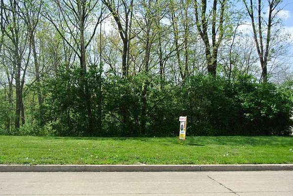
2 years ago
$39,900
0.37 acres
Boone County
Columbia, MO 65202
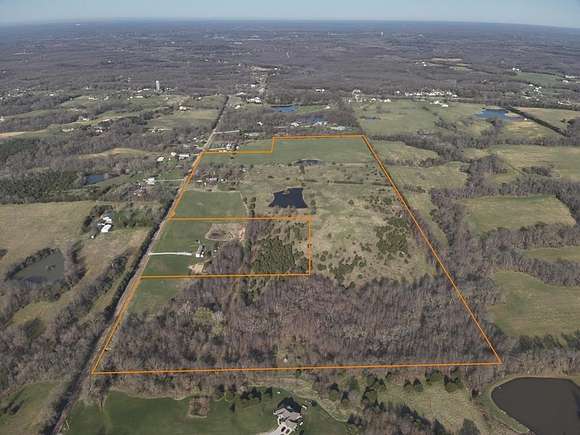
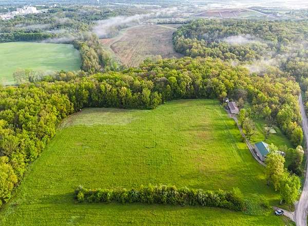
2 months ago
$3,944,000
272 acres
Boone County
Columbia, MO 65202
3 months ago
$2,250,000
51.8 acres
Boone County
4 bd, 4 ba
•
2,510 sq ft
Harrisburg, MO 65256
8 months ago
$420,000
40.2 acres
Boone County
Columbia, MO 65202
Map