Land for Sale in Maxville, Montana
Granite County, Maxville, MT 59837
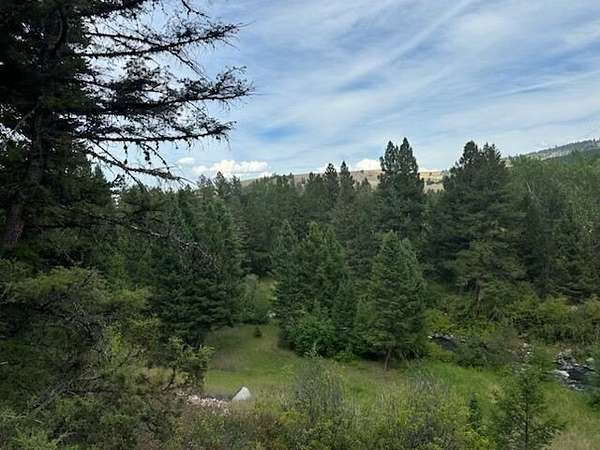
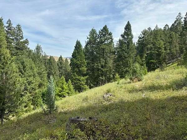
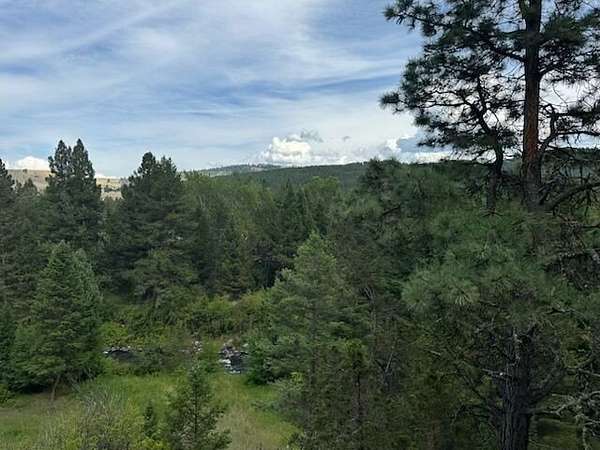
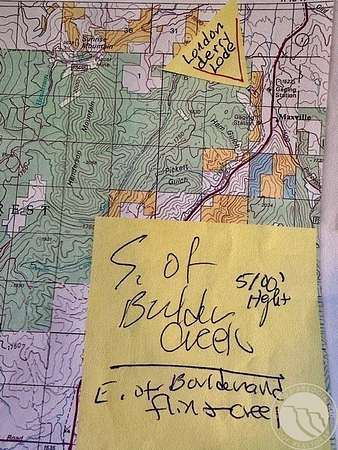
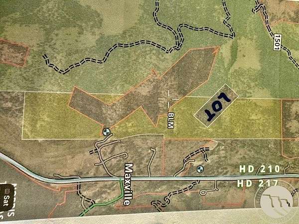
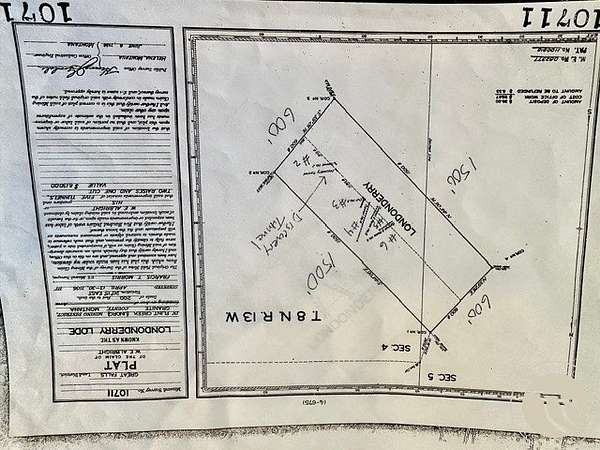
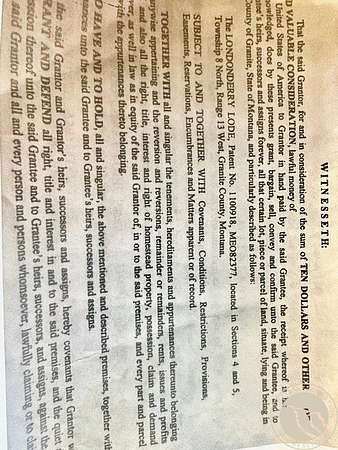
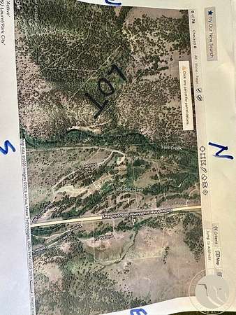
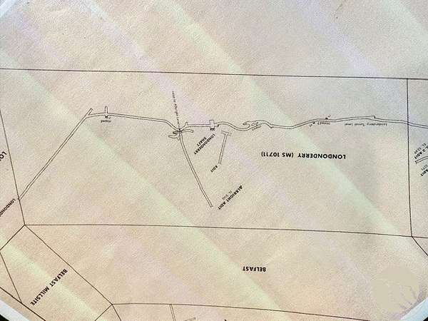
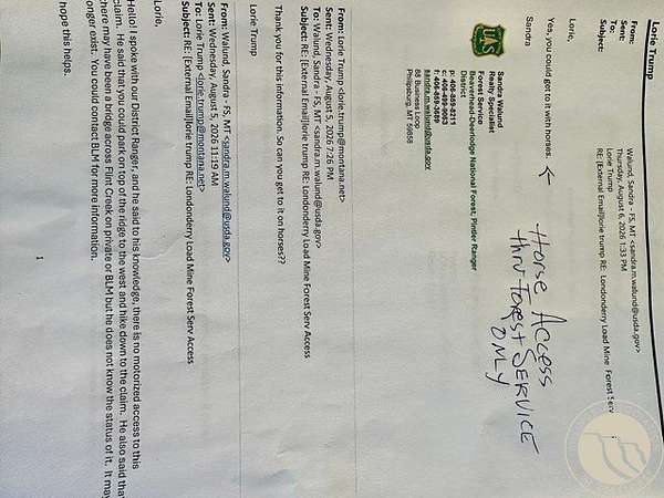
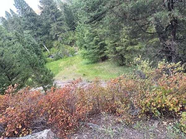
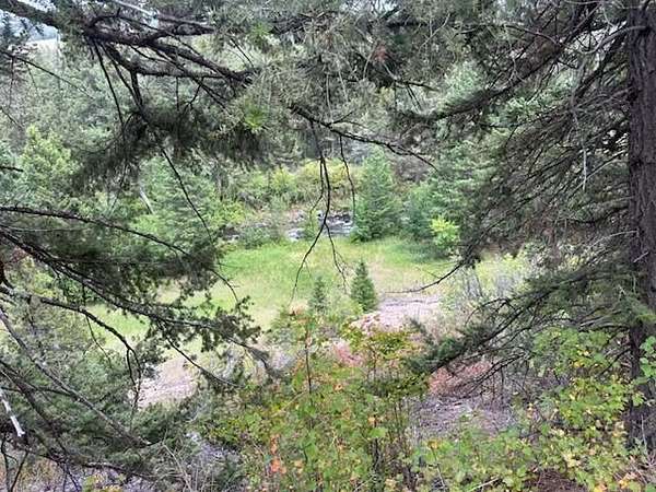
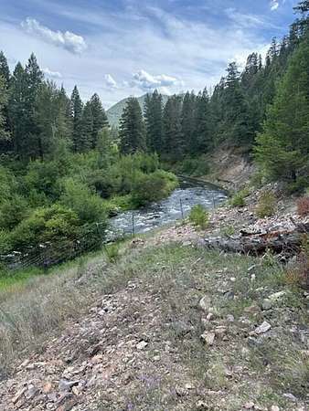
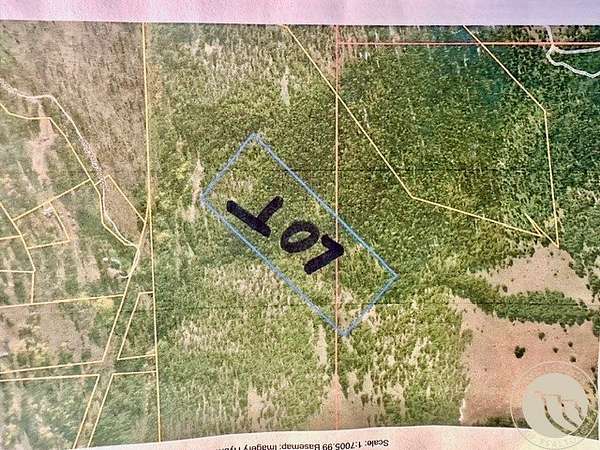
RARE 20.53 acres, SD Historic Londonderry Lode mining Patent# 1100918 ME 082377. Mining Claim is Private Property. Commodity Gold / Silver. Sec. 4 -5 T08N R13 W Granite County. Flying S Title, Insurable. Fee-Simple title . 100% ownership transfer. Historic production.17 miles N . of Phillipsburg MT. NE of Maxville MT. In BLM & Forest service area. Access horse only-thru Nat Forest Service land #1501 dirt road. Phillipsburg MT district. Was mined with mules. 1913 appx 5 ore carts a day. 5 tunnels, short adits, open cuts. Original federal government land patent & survey available #10711 dated April 13 1936. Flint Creek mining district. Size 600' wide by 1500' long. Geo#46-1674-04-3-02-20-0000. Elevation 5,000 ft. lat 46.47306,-113.24389 . Was mined:1913,1917,1923,1925,1926,1938. Buyers need to verify all information. lodge pole and Douglas fir on property Photos of surrounding area.
Location
- County
- Granite County
- Zip code
- 59837
- Community
- Londonderry
- Elevation
- 5,281 feet
Directions
Horse or walk in US Forest Road #150l N of mine. 17 miles N of Phillipsburg
Property details
- Acreage
- 20.53 acres
- MLS #
- BAR 361177
- Posted
Property taxes
- Recent
- $1,247
Parcels
- 1451252
Legal description
17 miles N of Phillipsburg MT. Londonderry Lode MS 10711 mining patent S05 T08N R13W 20.53 acres. Hall MT 59837
Details and features
Listing
- Type
- Commercial Sale
- Address
- Londonderry Lode Mining Claim
Lot
- Vegetation
- Brush
- Features
- Interior Lot, Rolling Slope, Secluded, Trees, Views, Wooded
Listing history
| Date | Event | Price | Change | Source |
|---|---|---|---|---|
| Aug 18, 2026 | New listing | $450,000 | — | BAR |
Payment calculator