Residential Land for Sale in Panama City Beach, Florida
Moonlight Bay Dr, Panama City Beach, FL 32407
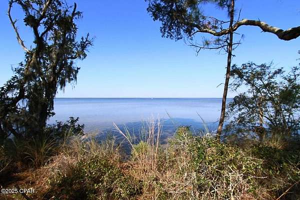
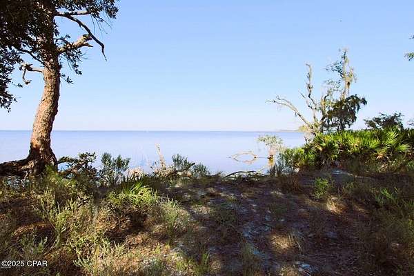
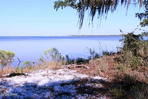
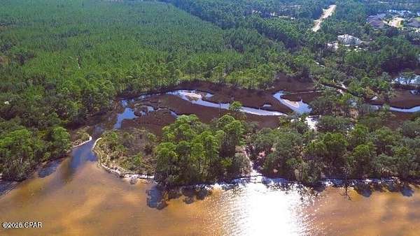
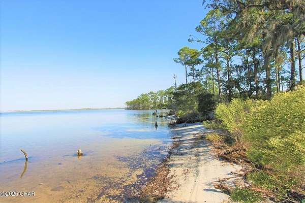
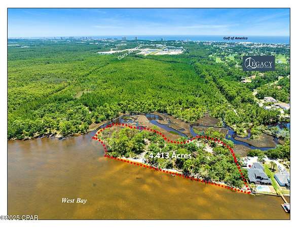
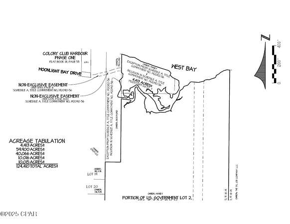
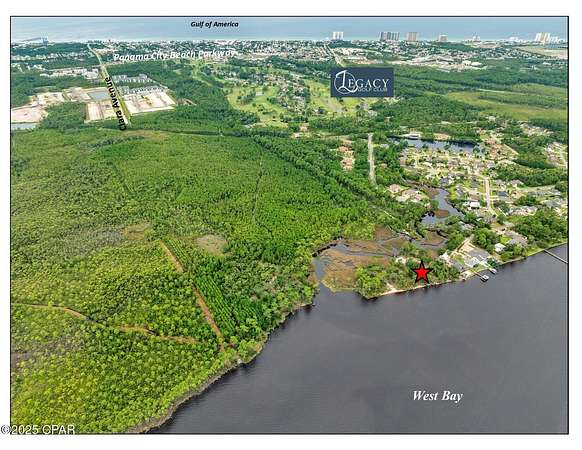
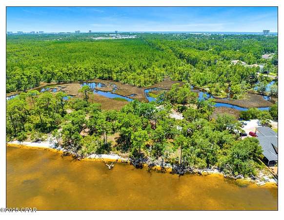
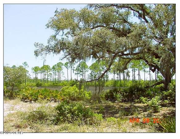
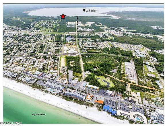
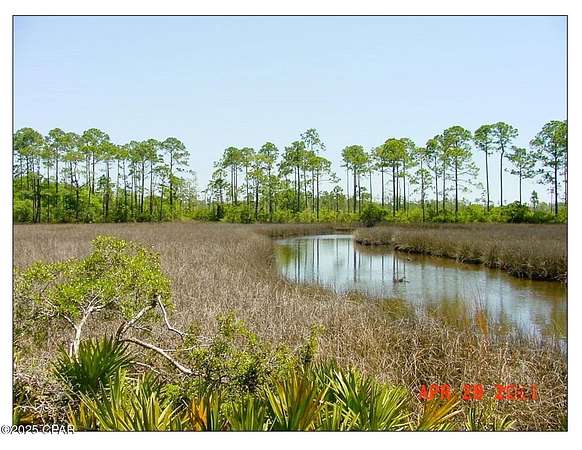
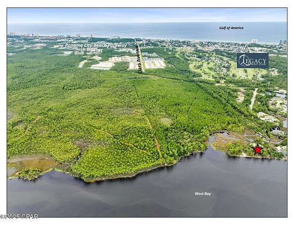
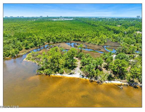
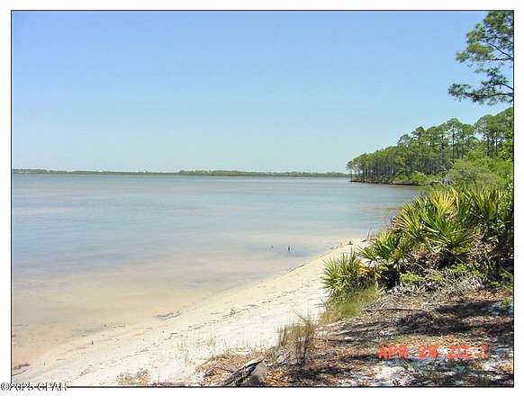
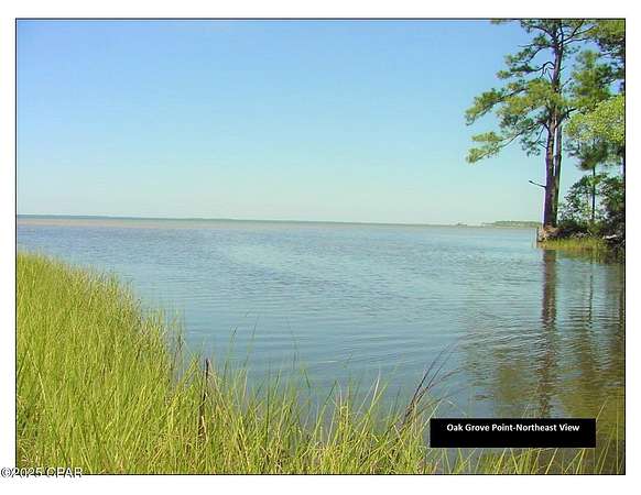
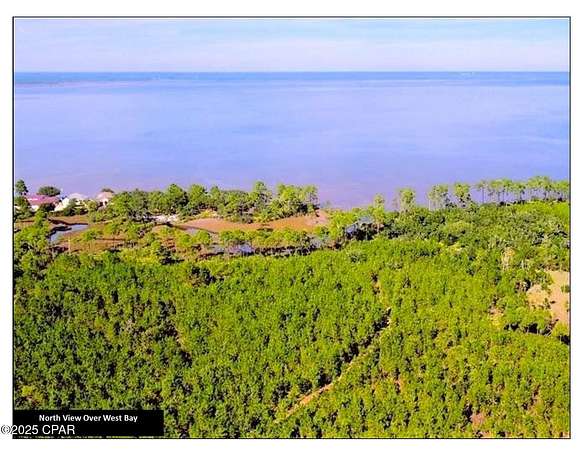
Gorgeous +/-4.4 acre secluded property on West Bay. Located at the east-end of Moonlight Bay Drive, which dead-ends into the property. It is known as the 'Oak Grove' as the property has several large oak trees. West Bay on the north side with expansive views across the Bay and a bayou on the south side. Zoned Planned Unit Development (P.U.D.) within the City of Panama City Beach. We believe the highest and best use is single-family residential development. Several large estate sized Bay-front lots could be developed, or one massive estate. The property is accessed via a 30' access easement. Travel from Panama City Beach Parkway past the Legacy Golf Club (f/k/a Holiday Golf Course), through the existing residential neighborhoods of Colony Club, and past Trieste. Left on Moonlight Bay Drive, continue right (east) on Moonlight Bay, which dead-ends into the property. The adjacent two parcels to the east and south are also for sale; A=59.9 Acres on West Bay, B=60.1 Acre interior parcel. The other two large parcels are not contiguous and separated by the small bayou. They are accessed via the Clara Avenue extension. The parcels were annexed into the City of Panama City Beach & zoned P.U.D. & Conservation. The highest-and-best use is single-family residential. Conceptual site plans, wetlands delineation, surveys and maps are attached. Call for detailed information & to setup a tour.
Location
- Street address
- Moonlight Bay Dr
- County
- Bay County
- Zip code
- 32407
- Elevation
- 20 feet
Directions
From Panama City Beach Parkway, travel north on Fairway Boulevard (the entance to Colony Club and Legacy Golf Course), left on Moonlight Bay Drive. Follow north and then continue right (east) on Moonlight Bay Drive, which dead-ends into the property via a 30' easement.
Property details
- Acreage
- 4.4 acres
- Zoning
- City
- MLS #
- BCAR 779480
- Posted
Property taxes
- 2024
- $5,114
Parcels
- 32733-010-000
Legal description
15 3S 16W -3.1- 37A PRCL 1: COM AT THE SW COR OF ORIGINAL GOV LOT 2 TH N 1320' W 165' N 738.44' FOR POB TH E 566.98' N 158.17' M/L TO WATER EDGE NWLY 666' M/L TO PT LYING N OF POB TH S 430' TO POB PRCL 2: COM AT THE SW COR OF ORIGINAL GOV LOT 2 TH N 1320' E 165' N 819' M/L TO WATER'S EDGE & FOR POB CONT N 75' SELY & SWLY 90' M/L ALG EDGE OF MARSH TO POB ORB 19
Details and features
Listing
- Type
- Land
Lot
- Waterfront
- Yes
- Features
- Paved
Structure
- Sewer
- Public Sewer
Nearby schools
| Name | Type |
|---|---|
| Hutchison Beach | Elementary |
| Surfside | Middle |
| Arnold | High |
Listing history
| Date | Event | Price | Change | Source |
|---|---|---|---|---|
| July 9, 2026 | New listing | $2,000,000 | — | BCAR |