Images
Map
Recreational Land for Sale in Lampe, Missouri
Nauvoo Rd, Lampe, MO 65681
$260,000
40 acres
Active sale
ago
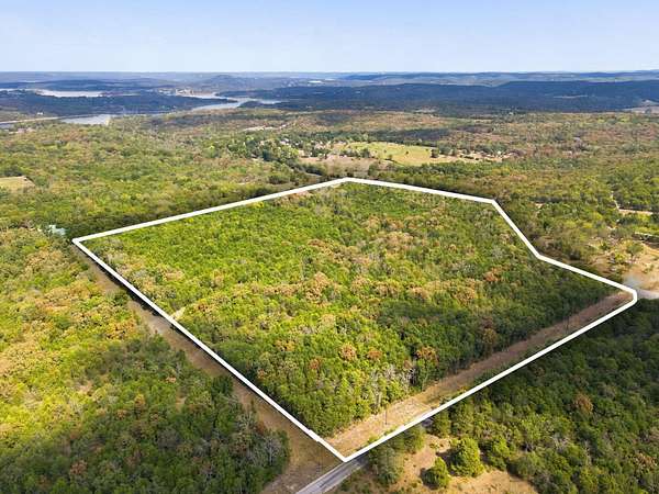
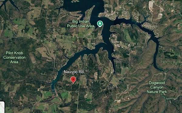
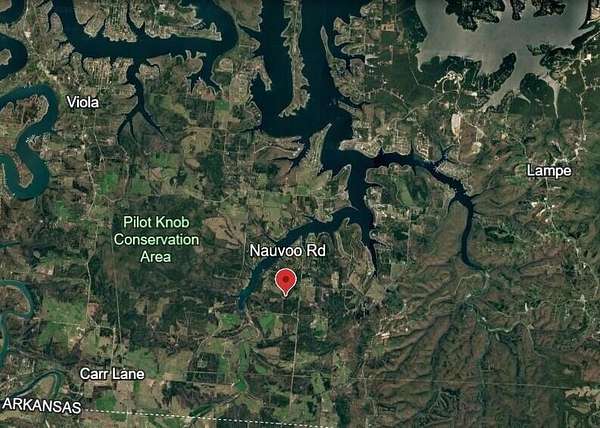
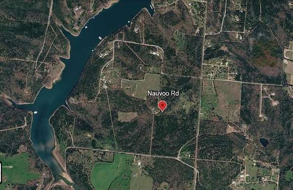
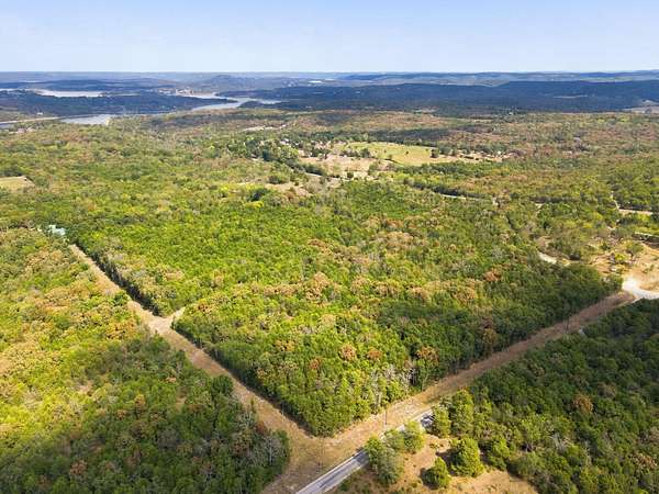
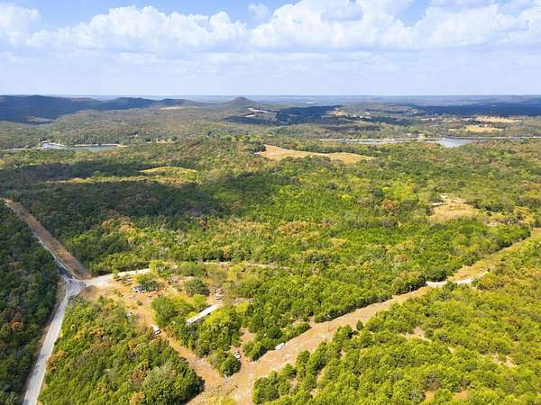
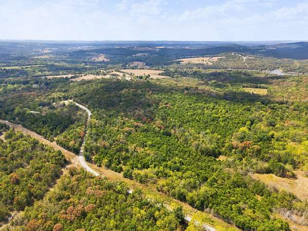
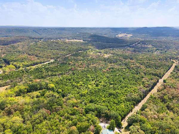
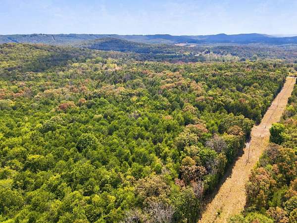
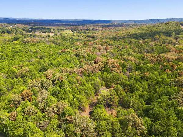
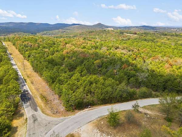
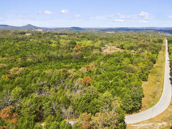
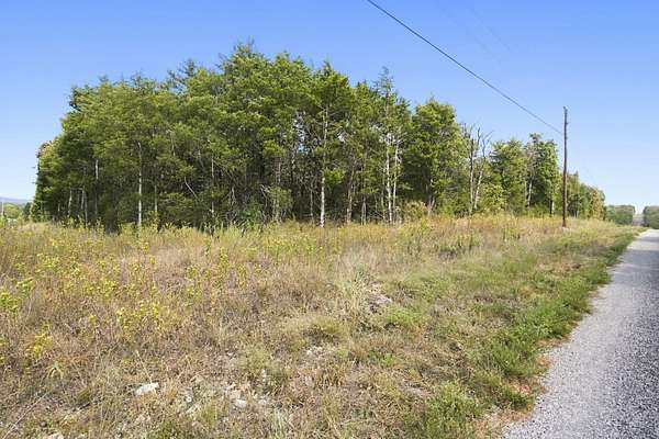
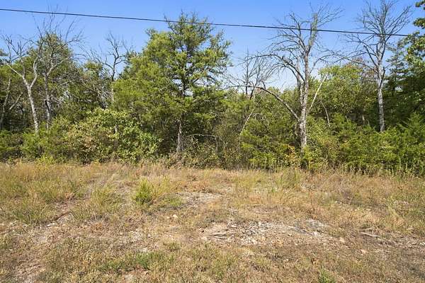
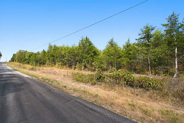
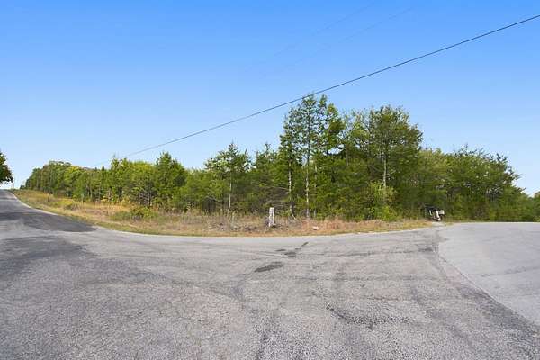
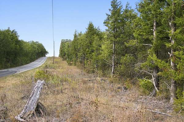
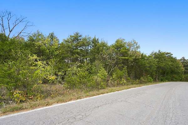
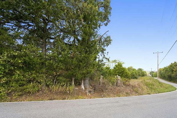
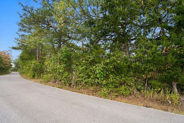
Est $1,766/mo40 Acres M/L - Lays Great - Blacktop Road boarders 2 sides - Excellent building sites - close lake access to Table Rock Lake, Big Indian Public Access and Ramp, Dogwood Canyon, and Pilot Knob Conservation Area - Deer - Turkey - Abundant Wildlife. Must See!
Location
- Street address
- Nauvoo Rd
- County
- Stone County
- Zip code
- 65681
- Elevation
- 1,051 feet
Directions
Hwy 86 West (Just south of Lampe) past Dogwood Canyon to Trace Hollow Road, stay left past the Persimmon Hill Berry Farm. Nauvoo Road go North to Sign on Property.
Property details
- Acreage
- 40 acres
- MLS #
- GSBOR 60334904
- Posted
Property taxes
- 2025
- $30
Parcels
- 16-5.0-15-000-000-013.000
Legal description
Se Ne 1/4. Ex 5 A Se Cor Also 5 A. E Side Of Sw Ne, Stone Co, MO
Details and features
Listing
- Type
- Land
Lot
- Features
- Acreage, Corner Lot, Few Trees, Horses Allowed, Mature Trees, Paved, Wooded
Exterior
- Fencing
- Barbed Wire
Property utilities
| Category | Type | Status |
|---|---|---|
| Power | Grid | Available |
Nearby schools
| Name | Type |
|---|---|
| Blue Eye | Elementary |
| Blue Eye | Middle |
| Blue Eye | High |
Listing history
| Date | Event | Price | Change | Source |
|---|---|---|---|---|
| Sept 25, 2026 | New listing | $260,000 | — | GSBOR |
Payment calculator
Contact listing agent
By submitting, I agree to the terms of use and to be contacted by . Message and data rates may apply.