Skip to main content
Skip to navigation
Properties
Find agent
Post listing
Log in
•
Sign up
Search here
List
Raymond, OH land for sale
Price
Size
Tags
Save
12 properties
Updated
For you
Newest
Price: high to low
Price: low to high
Size: large to small
Size: small to large
Updated
45 days ago
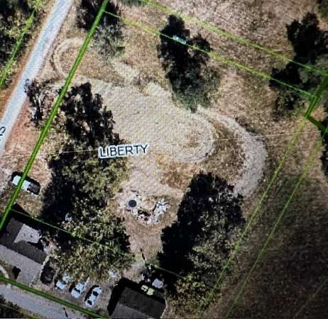
$50,000
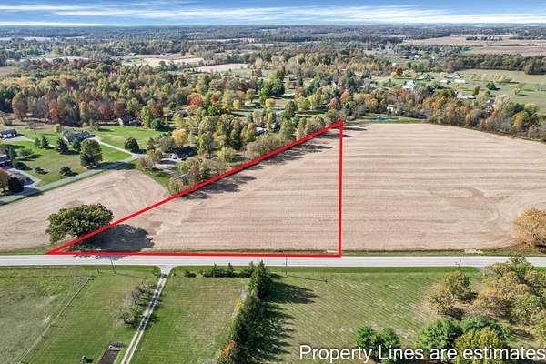
0.52 acres
Union County
Raymond, OH 43067
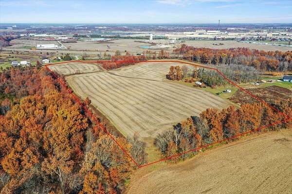
3 months ago
$450,000
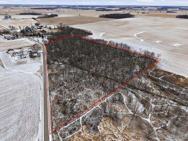
27.3 acres
Union County
Marysville, OH 43040
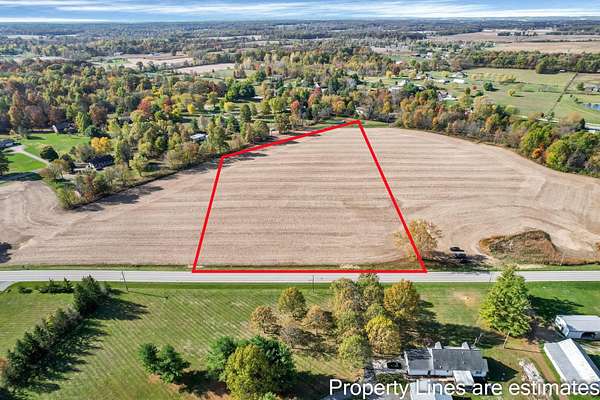
3 months ago
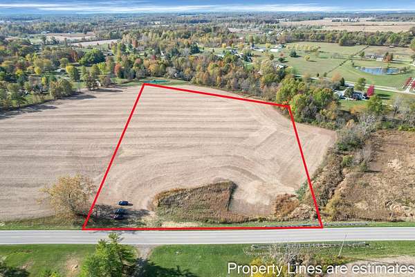
$194,000
5.5 acres
Union County
Marysville, OH 43040
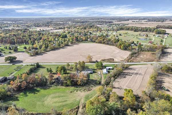
$101k drop • Dec 15
$469,500
15.7 acres
Union County
Marysville, OH 43040
Pending
Under contract
$185,000
16.1 acres
Union County
West Mansfield, OH 43358
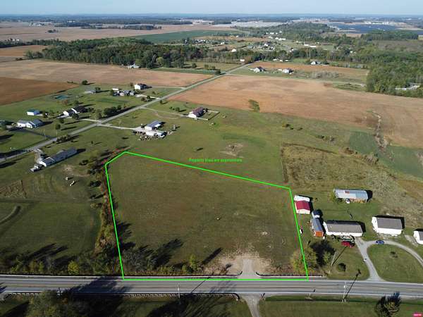
3 months ago
$180,000
5 acres
Union County
Marysville, OH 43040
$9.1k drop • Jan 14
$129,900
3.83 acres
Union County
Raymond, OH 43067
5 days
$302,000
9.13 acres
Union County
Raymond, OH 43067
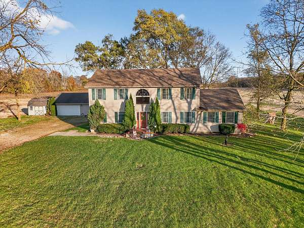
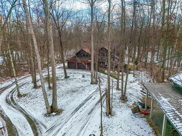
3 months ago
$538,000
5 acres
Union County
5 bd, 4 ba
•
2,812 sq ft
Raymond, OH 43067
3 months ago
$180,000
5.1 acres
Union County
Marysville, OH 43040
Pending
Under contract
$699,000
5.25 acres
Union County
3 bd, 3 ba
•
2,684 sq ft
Marysville, OH 43040
Pending
Under contract
$250,000
2.56 acres
Union County
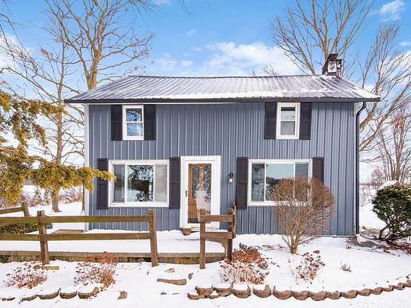
3 bd, 1 ba
•
1,414 sq ft
Marysville, OH 43040
Map