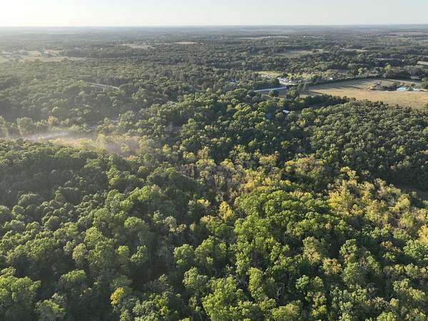
Recreational Land for Sale in Marshfield, Missouri
Rifle Range Rd, Marshfield, MO 65706
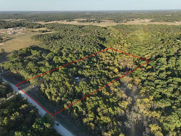
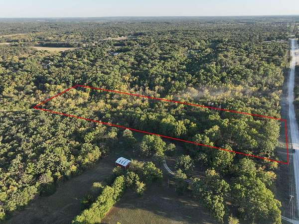
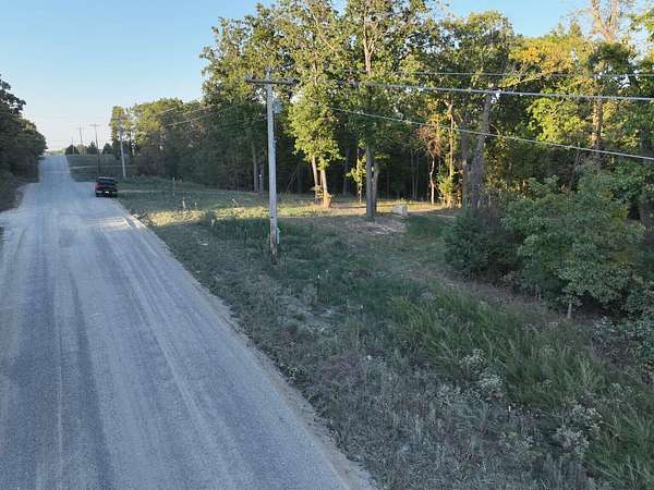
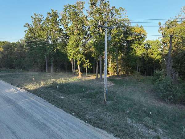
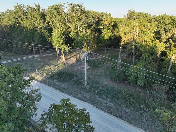
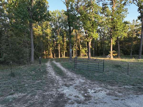
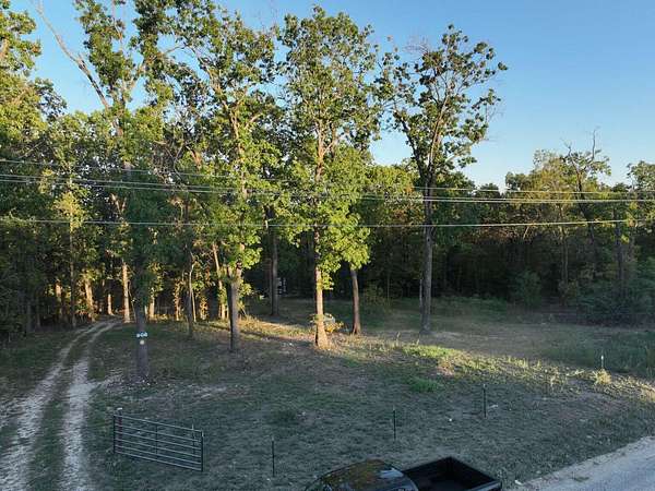
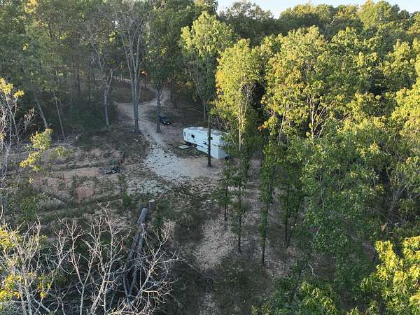
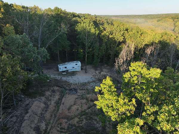
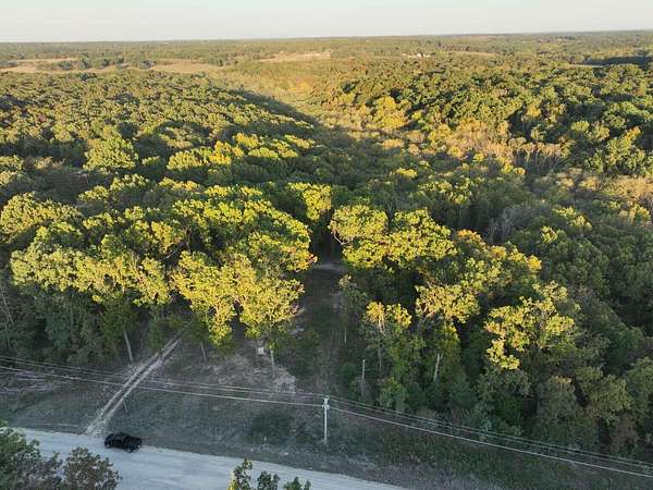
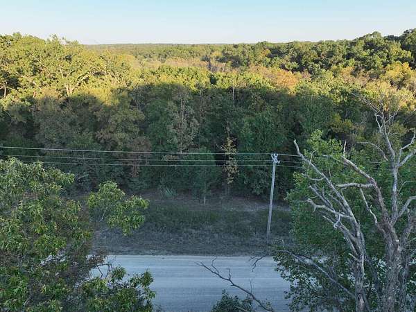
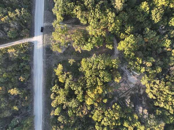
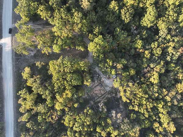
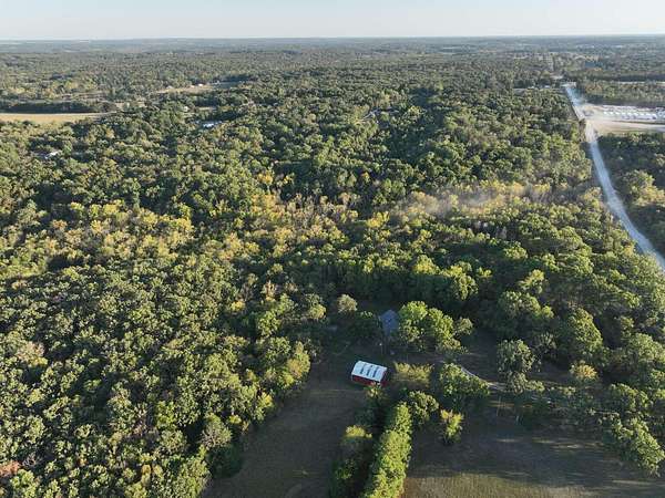
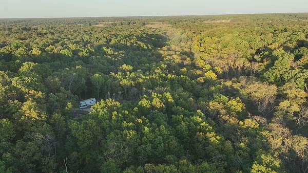
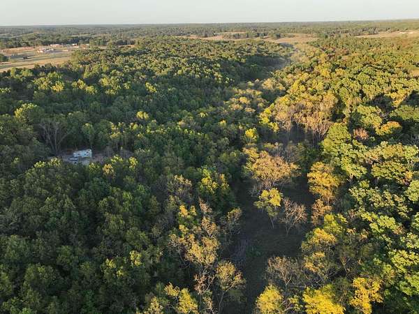
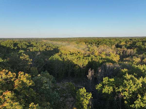
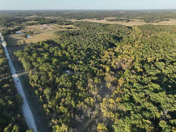
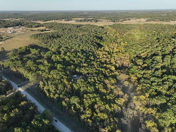
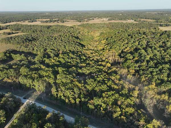
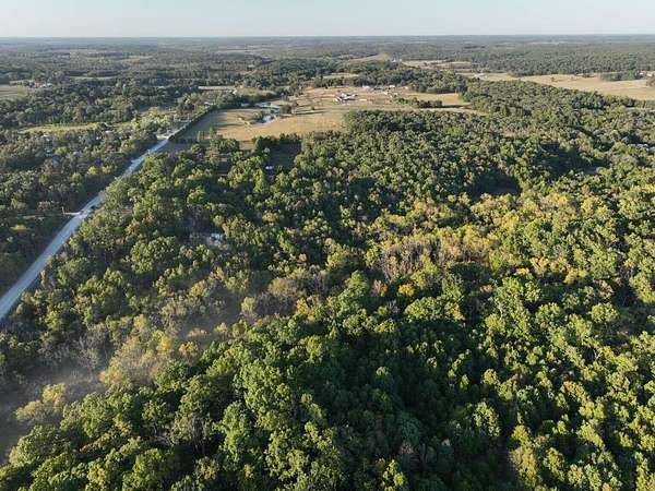
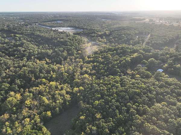
Discover 12.99 acres of unrestricted country freedom in Webster County! No HOA or city rules--perfect for hunting, camping, mobile homes, or building. Skip the cost and delay of development; power and water are already on-site with an established electric pole/meter and a new water well with pump. Features a small clearing surrounded by quiet woods. Just minutes to Compton Hollow and an easy 20-minute commute to Springfield via I-44. Rare infrastructure-ready acreage!
Location
- Street address
- Rifle Range Rd
- County
- Webster County
- Zip code
- 65706
- Elevation
- 1,376 feet
Directions
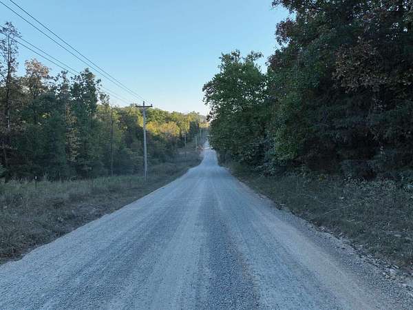
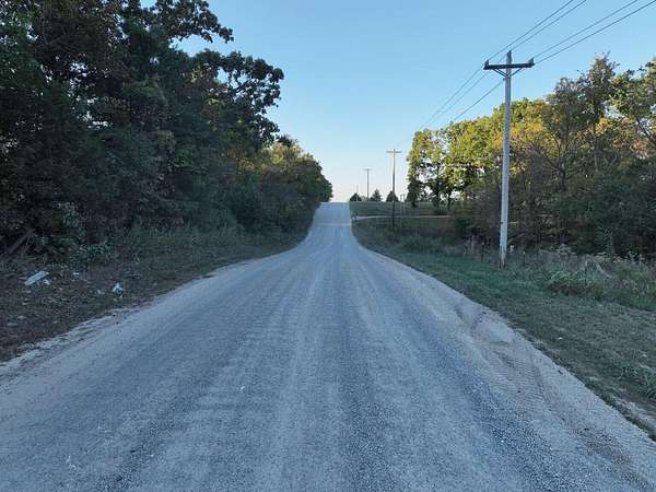
From Marshfield, travel south on State Highway A. Turn left onto Highway DD heading east. Turn right onto Rifle Range Road heading south. Proceed past Plank Cemetery. The property will be situated immediately on the left side of the road. Look for the wooded vacant acreage lines running along the east side of the street.
Property details
- Acreage
- 12.99 acres
- MLS #
- GSBOR 60337233
- Posted
Property taxes
- 2025
- $124
Parcels
- 067026000000015040
Legal description
BEG NE COR NW SE, S 662.34' FOR POB, S 429.19', W 1318.14', N 429.19', E 1317.90'TO POB
Nearby schools
| Name | Type |
|---|---|
| Marshfield | Elementary |
| Marshfield | Middle |
| Marshfield | High |
Listing history
| Date | Event | Price | Change | Source |
|---|---|---|---|---|
| Oct 28, 2026 | New listing | $170,000 | — | GSBOR |