Recreational Land for Sale in Richards, Missouri
S 600 Rd, Richards, MO 64778
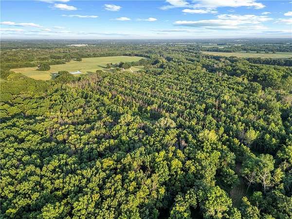
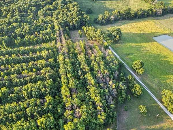
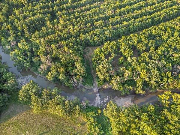
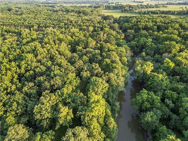
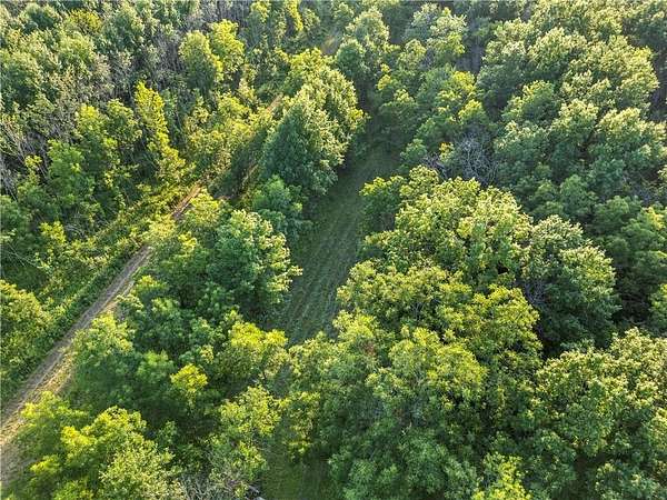
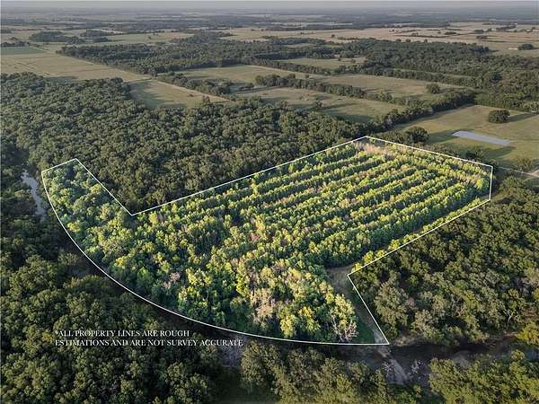
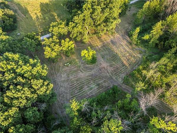
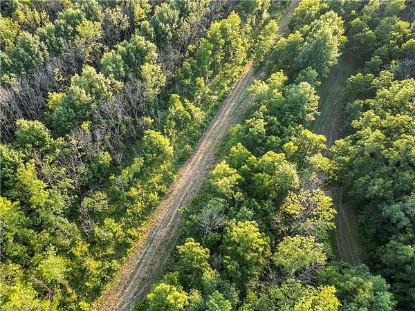
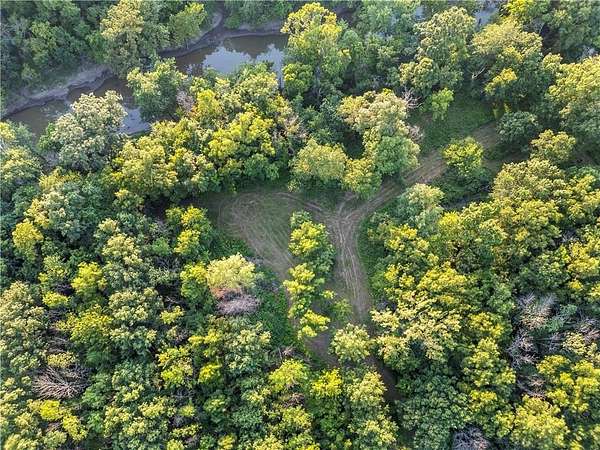
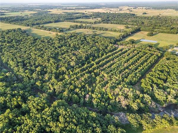
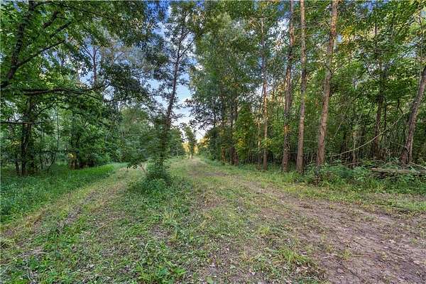
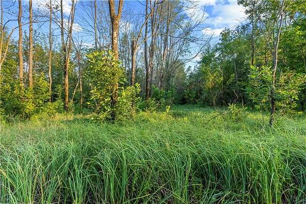
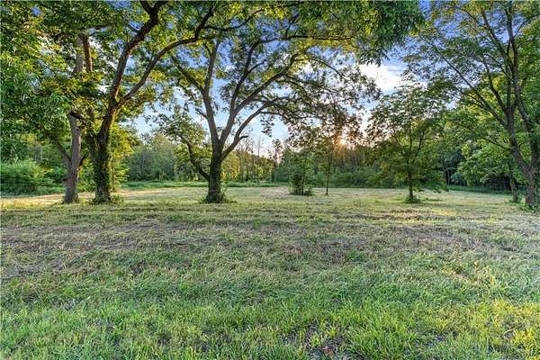
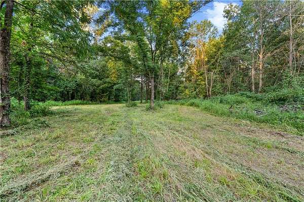
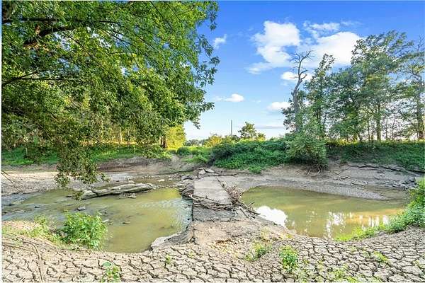
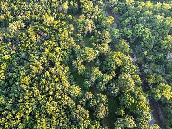
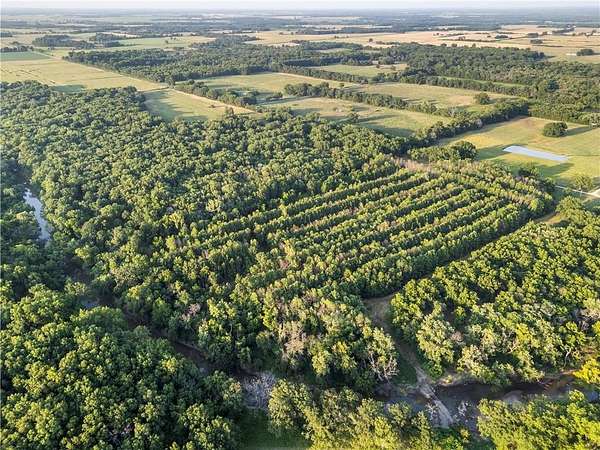
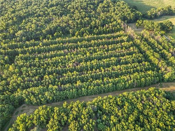
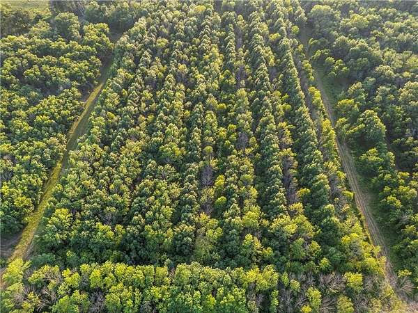
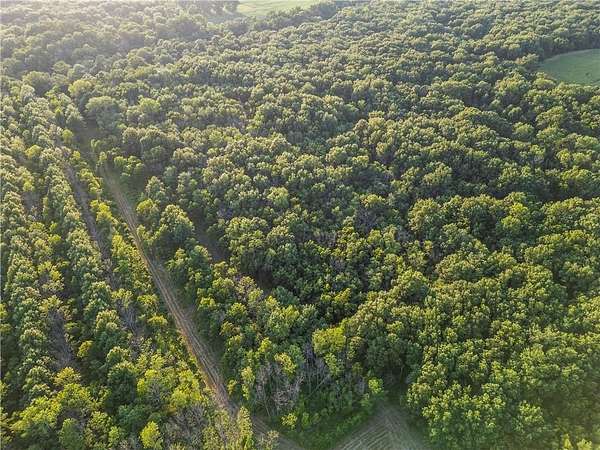
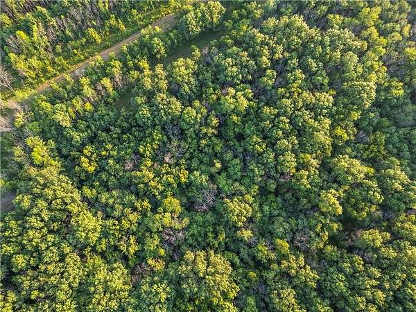
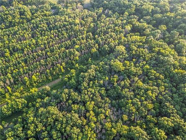
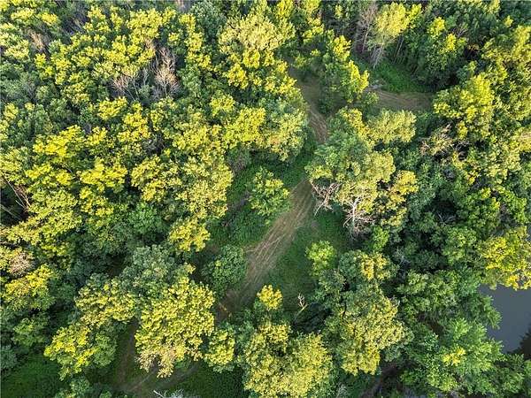
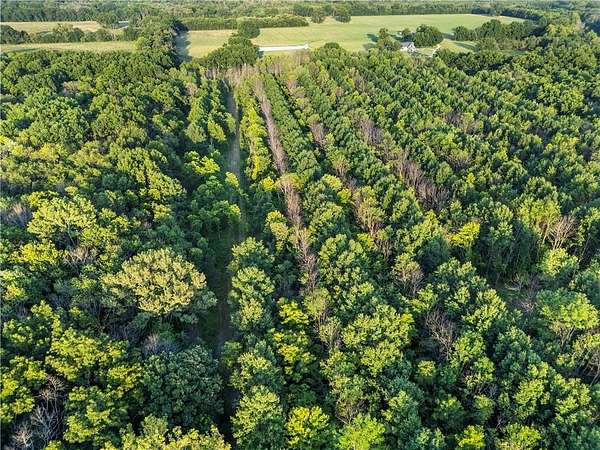
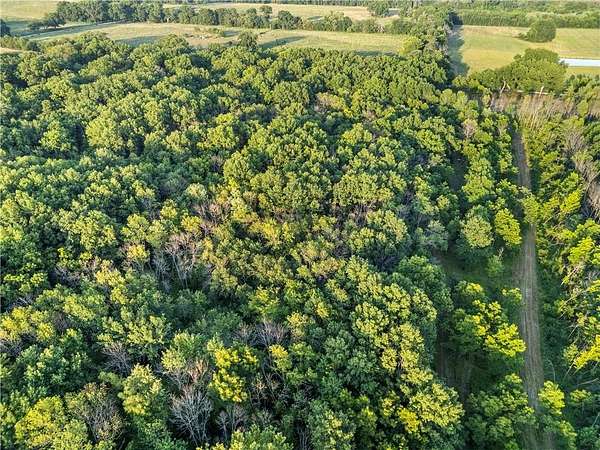
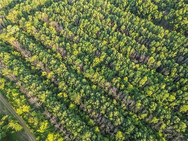
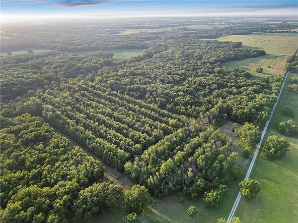
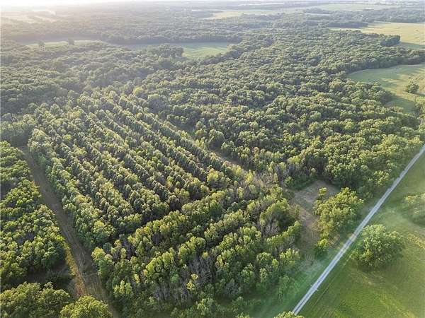
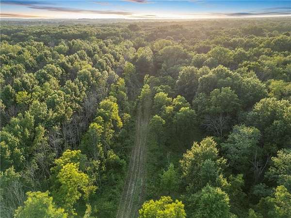
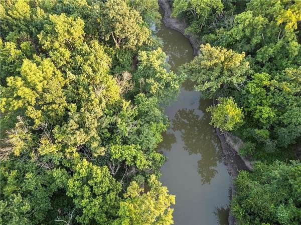
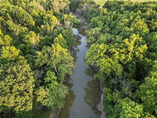
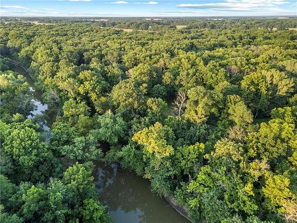
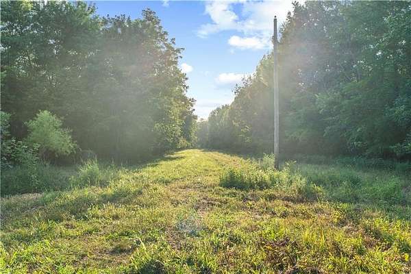
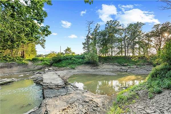
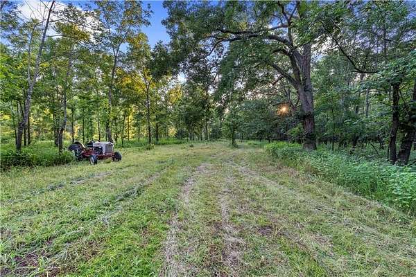
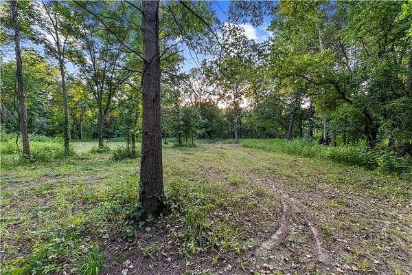
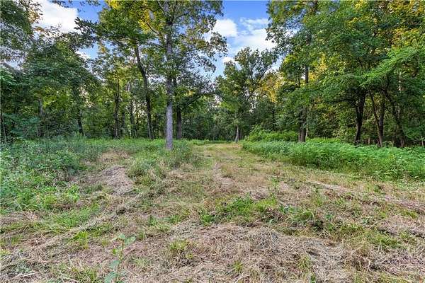
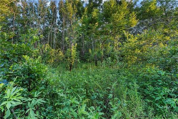
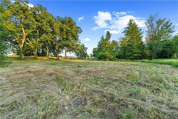
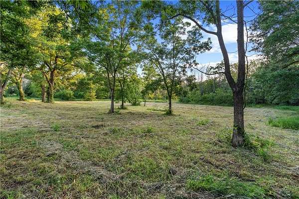
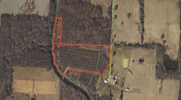
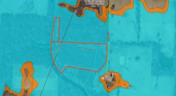
Tucked along the Marmaton River, this 29+/- acre recreational tract offers the kind of smaller hunting property that is becoming increasingly difficult to find. With approximately 1,600 feet of Marmaton River frontage, river-bottom timber featuring beautiful pecan trees, established trails, natural cover, and open areas ideal for food plots, the property offers an excellent mix of habitat and recreational opportunity. The river frontage and diverse cover make it a great place to pursue whitetail deer, turkey, and other wildlife. An old road follows the south property line and leads to a historic, abandoned Marmaton River crossing, adding character and a unique glimpse into the area's history. The property offers county road access, with electricity located along the road. There are no existing leases, and the new owner will receive possession at closing. Whether you are looking for a place to hunt, fish, ride ATVs, establish food plots, or simply enjoy weekends outdoors, this tract offers plenty of possibilities. The river frontage and adjoining open ground may also offer potential for future waterfowl habitat improvements. Smaller recreational tracts offering this much river frontage rarely become available. Call to schedule your private showing. Acreage and property boundaries shown on aerial imagery are approximate and provided for reference only.
Location
- Street address
- S 600 Rd
- County
- Vernon County
- Zip code
- 64778
- Community
- Vernon
- School district
- Nevada
- Elevation
- 768 feet
Directions
From US Highway 54, head north on H Highway for approximately 1.2 miles. Turn west onto Moles Road and continue for 1 mile. Turn south onto 600 Road. The property will be on the right.
Property details
- Acreage
- 29 acres
- MLS #
- HMLS 2634262
- Posted
Property taxes
- Recent
- $30
Parcels
- 16-1.0-2-0-0-1.0
Legal description
E 1/2 LT 2 NE4 E OF RIV & E 1/2 LT 1 NE4 N & E OF RIV INCLUDING VACATED ROAD BEG 100'W OF 600 RD ON NO HORSE RD TO POB. THENCE NW 1000' TURNING SW TO CROSS THE MARMATON RIVER 500' THENCE S 900' MORE OR LESS TO THE END OF VACATION. LESS AND EXCEPT TRA CT OF LAND LOCATED IN SECTION 1 DESCRIBED AS : BEG AT THE NW COR OF SEC 1 THENCE S 438.55'; SW 408.11'; NWLY 805.31'; SW 107.75'; SWLY 181.15'; SE 427.69'; SELY 145.09'; SE 121.30'; SE 110.34'; SELY 88.32'; SELY 82.52'; NE 411.86'; SE 147.51'; SELY 3 73.11'; NLY 451.45'; NELY 135.33'; NE 483.95'; NLY 276.24'; NLY 290.56'; W 542.35' RETURNING TO POB; LESS AND EXCEPT ANYTHING THEREOF LOCATED IN SECTION 1; AND LESS AND EXCEPT TRACT OF LAND IN SEC 1 DESCRIBED AS : BEG AT NW COR NW4 OF SEC 1;
Details and features
Listing
- Type
- Land
Lot
- Features
- Acreage
Listing history
| Date | Event | Price | Change | Source |
|---|---|---|---|---|
| July 30, 2026 | New listing | $180,000 | — | HMLS |