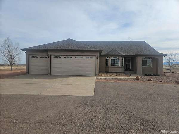
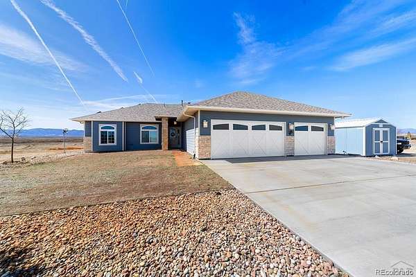
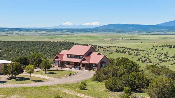
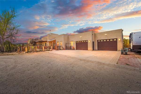
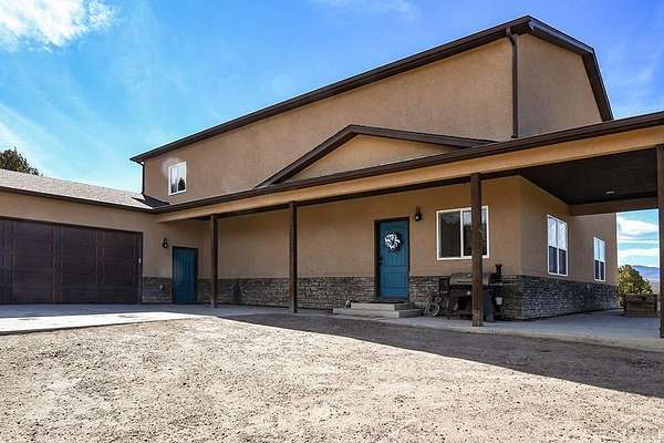
Featured
14 months ago
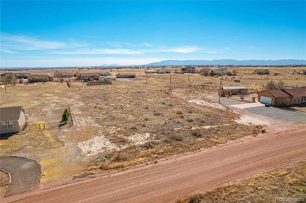
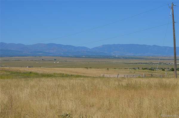
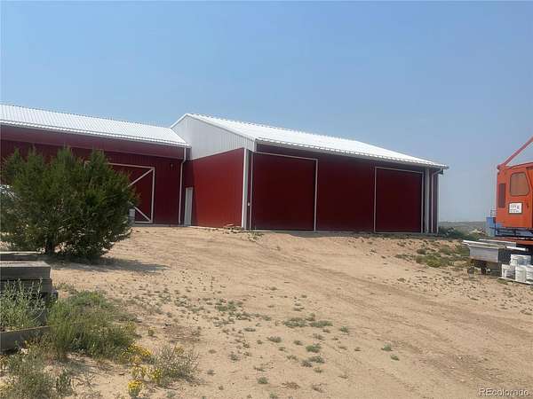
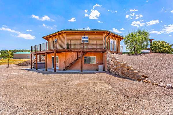
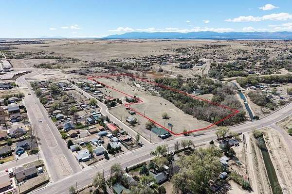
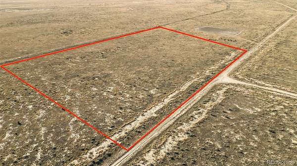
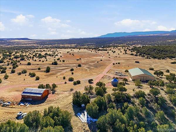
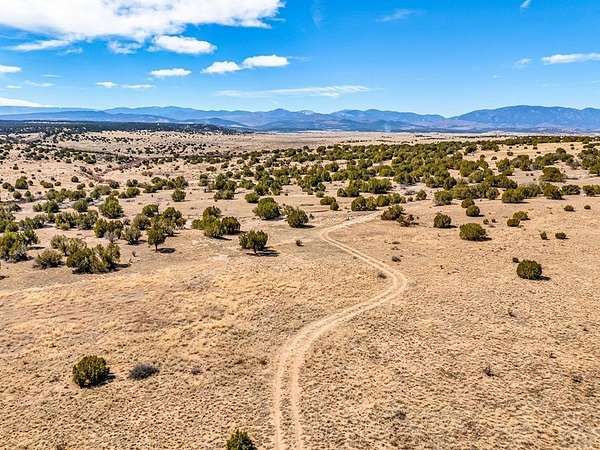
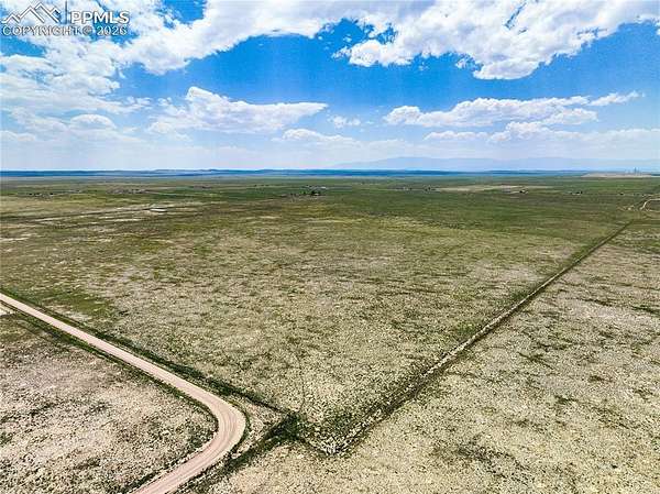
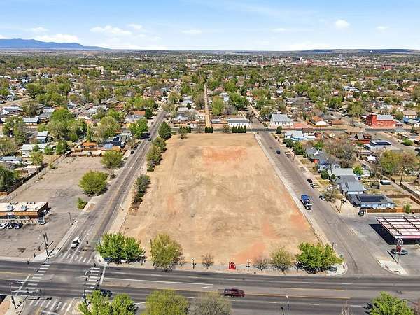
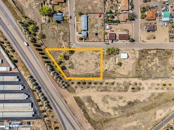
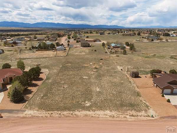
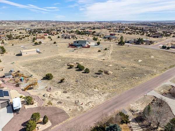
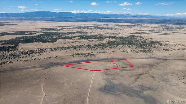
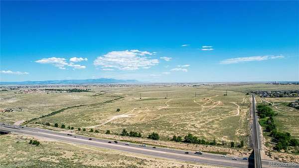
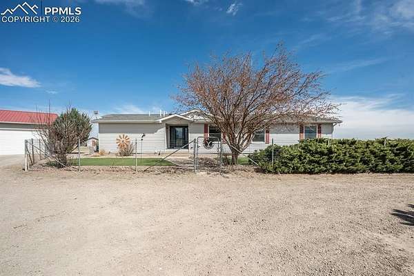
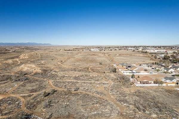
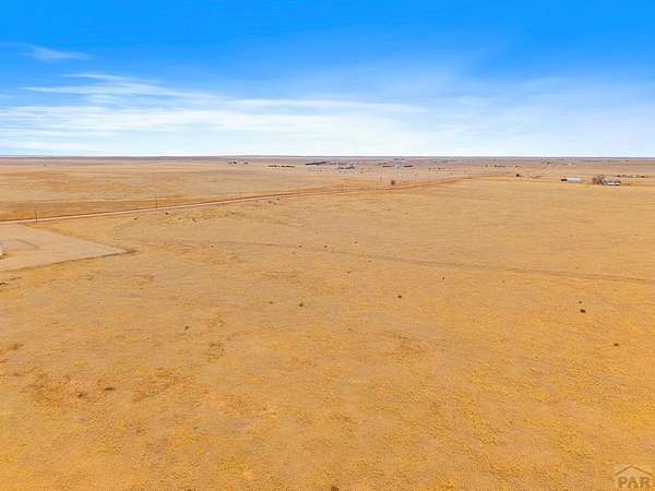
$25,0000.23 acres
Pueblo County
Pueblo, CO 81008


Based on information submitted to the MLS GRID as of Apr 21, 2026 10:00 pm MT. All data is obtained from various sources and may not have been verified by broker or MLS GRID. Supplied Open House Information is subject to change without notice. All information should be independently reviewed and verified for accuracy. Properties may or may not be listed by the office/agent presenting the information. Some IDX listings have been excluded from this website. View more
Copyright Spanish Peaks MLS. All rights reserved. Information is deemed reliable but not guaranteed.