
Land for Sale in Canton, Mississippi
Sharon Rd, Canton, MS 39046
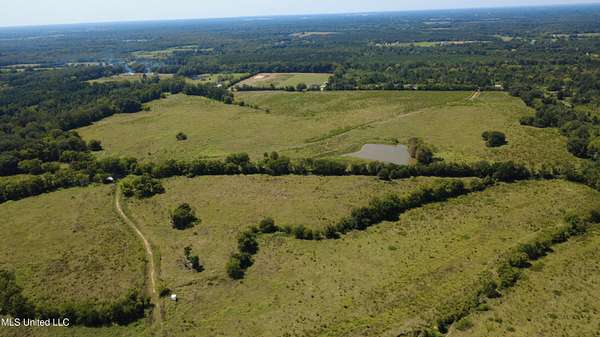
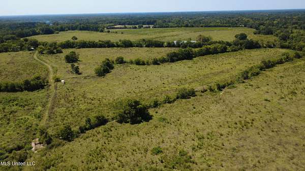
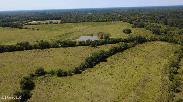
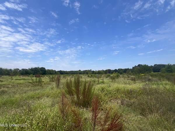
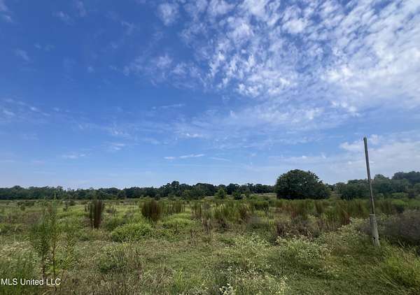
110 Acres - Prime Development or Agricultural Opportunity in Canton, MS. Conveniently located just minutes from Madison and Jackson. Don't miss this rare chance to own 110+/- acres of vacant raw land in the growing Canton area. Formerly a productive cattle property, this expansive tract offers excellent potential for subdivision development, agricultural use, or long-term investment. Located in Madison County, the land features a mix of open pasture and natural landscape, providing versatility for a wide range of uses. With plenty of space for residential development, cattle grazing, or recreational purposes, this property is a blank canvas ready for your vision. Whether you're looking to develop, farm, or invest in land with unlimited potential. this property is a must-see!
Location
- Street address
- Sharon Rd
- County
- Madison County
- Community
- Metes and Bounds
- Elevation
- 311 feet
Directions
It is GPS friendly from the neighboring address 896 Sharon Rd. This address is the south property boundary.
Property details
- Acreage
- 110 acres
- MLS #
- MGCMLS 4124990
- Posted
Property taxes
- 2024
- $2,692
Legal description
110.00 acres being situated in the Northwest 1/4 of the Northwest 1/4 and the Northeast 1/4 of the Northwest 1/4 and the Northwest 1/4 of the Northeast 1/4 of Section 19, Township 9 North, Range 4 East, Madison County, Mississippi as shown on the Plat of Survey by Davis Land Surveying & Engineering, LLC dated 8/5/2025 being Job# 25092 (Bearing Base adopted from the North line of that property recorded in Deed Book 3466 at Page 381) and being more particularly described as follows: Commencing at the Northeast corner of said Section 19; run thence, South 89 degrees 22 minutes 19 seconds West for 938.11 feet to a found #4 rebar by a fence corner; run thence, South 89 degrees 22 minutes 19 seconds West for 818.82 feet (BEARING LINE) to the set #4 rebar, said rebar also marking the POINT OF BEGINNING; run thence, South for 1359.42 feet to the set #4 rebar; run thence, West for 3573.06 feet to the set #4 rebar on the East line of Sharon Road; following the East line; run thence, North 00 degrees 17 minutes West for 1320.20 feet to a found #4 rebar; leaving said East line; run thence, North 89 degrees 22 minutes 19 seconds East for 3579.77 feet (BEARING LINE) back to the set #4 rebar marking the POINT OF BEGINNING.
Details and features
Listing
- Type
- Land
Lot
- Waterfront
- Yes
- Features
- Corners Marked, Few Trees
Listing history
| Date | Event | Price | Change | Source |
|---|---|---|---|---|
| Nov 15, 2025 | Under contract | $715,000 | — | MGCMLS |
| Sept 9, 2025 | New listing | $715,000 | — | MGCMLS |