Images
Map
Street
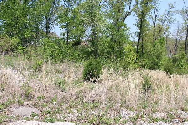
Residential Land for Sale in St. Robert, Missouri
Trace Dr, St. Robert, MO 65584
$12,900
0.78 acres
Active sale
$7k drop
Est $116/moBuilding lot ready for your new home! This sale also includes the "GREENSPACE "B" ROCKY POINT PLAT NO 4" tract. Close to Fort Leonard Wood and amenities. Some utilities available. Perfect setting in a desirable area. Additional Rooms: In Platted Subdv.
Location
- Street address
- Trace Dr
- County
- Pulaski County
- Community
- Rocky Point
- School district
- Waynesville R-VI
- Elevation
- 988 feet
Directions
From Eastlawn Ave, turn right on Terris, then right on Tundra. Left on Trace. Lots are on left.
Property details
- Lot size
- 0.78 acres33,977 sq ft
- Zoning
- Single-Family
- MLS #
- MARIS 22021177
- Posted
Property taxes
- 2025
- $56
Parcels
- 10-8.0-34-000-006-001-245
Legal description
LOT 49A - RESUBDIVISIONROCKY POINT PLAT NO 6 & "GREENSPACE "B" ROCKY POINT PLAT NO 4"
Details and features
Listing
- Type
- Land
Exterior
- Features
- Rolling Slope
Nearby schools
| Name | Type | District |
|---|---|---|
| Waynesville R-VI | Elementary | Waynesville R-VI |
| Waynesville Middle | Middle | Waynesville R-VI |
| Waynesville Sr. High | High | Waynesville R-VI |
Listing history
| Date | Event | Price | Change | Source |
|---|---|---|---|---|
| May 9, 2025 | Relisted | $12,900 | — | MARIS |
| May 2, 2025 | Listing removed | $12,900 | — | Listing agent |
| Apr 26, 2024 | Price drop | $12,900 | $7,000 -35.2% | MARIS |
| May 10, 2022 | New listing | $19,900 | — | MARIS |
Payment calculator

Contact listing agent
By submitting, I agree to the terms of use and to be contacted by . Message and data rates may apply.