Images
Map
Street
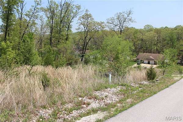
Residential Land for Sale in St. Robert, Missouri
Trace Dr, St. Robert, MO 65584
$9,900
0.28 acres
Active sale
Est $154/moBuilding lot ready for your new home! Close to Fort Leonard Wood and amenities. Some utilities available. Perfect setting in a desirable area. In Platted Subdivision. Restrictions apply. LOT 48 - ROCKY POINT PLAT NO 6 34-36-11 consisting of .28 acres m/l
Location
- Street address
- Trace Dr
- County
- Pulaski County
- Zip code
- 65584
- Community
- Rocky Point 06
- School district
- Waynesville R-VI
- Elevation
- 995 feet
Directions
From Eastlawn Ave, turn right on Terris, then right on Tundra. Left on Trace. Lots are on left.
Property details
- Lot size
- 0.28 acres12,197 sq ft
- Zoning
- Residential
- MLS #
- MARIS 26034838
- Posted
Property taxes
- 2025
- $112
Parcels
- 10-8.0-34-000-006-001-208
Legal description
LOT 48 - ROCKY POINT PLAT NO 6 34-36-11 consisting of .28 acres m/l
Nearby schools
| Name | Type | District |
|---|---|---|
| Waynesville R-VI | Elementary | Waynesville R-VI |
| Waynesville Middle | Middle | Waynesville R-VI |
| Waynesville High School | High | Waynesville R-VI |
Listing history
| Date | Event | Price | Change | Source |
|---|---|---|---|---|
| June 3, 2026 | New listing | $9,900 | — | MARIS |
Payment calculator

Contact listing agent
By submitting, I agree to the terms of use and to be contacted by . Message and data rates may apply.