Skip to main content
Skip to navigation
Properties
Find agent
Post property
Log in
•
Sign up
Search here
List
Kansas City, MO land for sale
Price
Size
Tags
Save
753 properties
For you
Newest
Price: high to low
Price: low to high
Size: large to small
Size: small to large
Updated
Featured
14 months ago
$6,000
0.11 acres
Wyandotte County
Kansas City, KS 66102
Featured
5 months ago
$5,500
0.1 acres
Wyandotte County
Kansas City, KS 66104
Featured
$2.01k drop • Feb 9
$5,995
0.1 acres
Jackson County
Kansas City, MO 64109
Featured
14 months ago
$4,500
0.07 acres
Wyandotte County
Kansas City, KS 66101
Featured
34 days ago
$8,000
0.14 acres
Wyandotte County
Kansas City, KS 66101
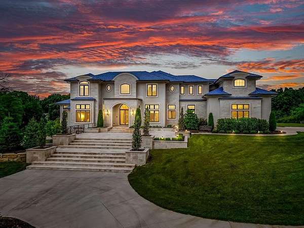
4 days
$1,695,000
9.26 acres
Johnson County
4 bd, 4.5 ba
•
5,350 sq ft
Lenexa, KS 66227
8 days
$400,000
2 acres
Clay County
Kearney, MO 64060
7 days
$399,900
10 acres
Jackson County
Kansas City, MO 64138
10 hours
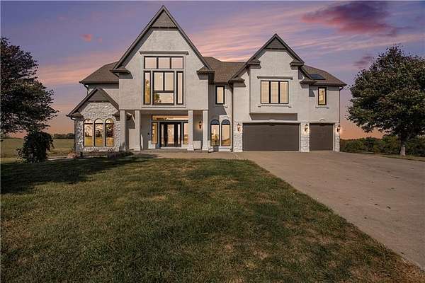
$1,790,000
35.8 acres
Johnson County
8 bd, 7 ba
•
3,012 sq ft
Spring Hill, KS 66083
12 days
$2,289,000
15.5 acres
Wyandotte County
5 bd, 1.5 ba
•
8,024 sq ft
Kansas City, KS 66109
16 days
$2,600,000
8.78 acres
Jackson County
6 bd, 6 ba
•
8,302 sq ft
Blue Springs, MO 64015
19 days
$1,650,000
14 acres
Clay County
5 bd, 4.5 ba
•
4,270 sq ft
Smithville, MO 64089
17 days
$3,993,000
14.4 acres
Johnson County
6 bd, 8.5 ba
•
10,138 sq ft
Shawnee, KS 66217
17 days
$2,499,000
10 acres
Johnson County
4 bd, 4.5 ba
•
5,728 sq ft
Overland Park, KS 66083
34 days ago
$2,250,000
5.75 acres
Clay County
5 bd, 5.5 ba
•
5,112 sq ft
Smithville, MO 64089
$14.1k drop • Mar 26
$664,900
10.6 acres
Clay County
4 bd, 3 ba
•
2,743 sq ft
Kearney, MO 64060
6 days
$675,000
8.4 acres
Cass County
4 bd, 3 ba
•
3,798 sq ft
Belton, MO 64012
45 days ago
$1,100,000
20 acres
Platte County
Kansas City, MO 64153
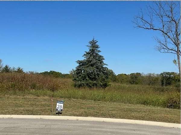
20 days
$60,000
0.59 acres
Clay County
Kansas City, MO 64155
30 days ago
$185,000
3.47 acres
Cass County
Belton, MO 64012
$26k drop • Mar 10
$949,000
9.7 acres
Cass County
3 bd, 3 ba
•
2,612 sq ft
Pleasant Hill, MO 64080
1 day
$229,000
22 acres
Clay County
3 bd, 2 ba
•
1,875 sq ft
Kansas City, MO 64119
5 days
$850,000
10.7 acres
Jackson County
3 bd, 3.5 ba
•
3,486 sq ft
Independence, MO 64058
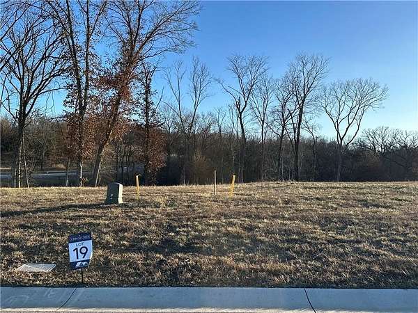
12 days
$295,000
0.53 acres
Johnson County
Olathe, KS 66061
30 days ago
$150,000
2.16 acres
Platte County
Kansas City, MO 64151
50 days ago
$400,000
27.6 acres
Jackson County
Kansas City, MO 64134
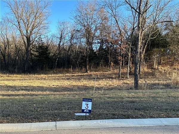
9 days
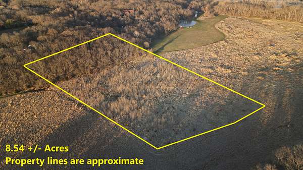
$1,500,000
8.54 acres
Johnson County
Stilwell, KS 66085
$9.1k drop • Mar 28
$89,900
0.93 acres
Platte County
Parkville, MO 64152
$10k drop • Mar 17
$390,000
7 acres
Johnson County
Spring Hill, KS 66083
6 days
$450,000
5 acres
Cass County
4 bd, 2 ba
•
2,025 sq ft
Harrisonville, MO 64701
47 days ago
$700,000
26.3 acres
Clay County
Kearney, MO 64060
2 months ago
$400,000
0.39 acres
Jackson County
Kansas City, MO 64109
$27k drop • Feb 23
$298,000
1.85 acres
Johnson County
Lenexa, KS 66220
10 hours
$150,000
0.49 acres
Wyandotte County
Kansas City, KS 66109
10 hours
$250,000
3 acres
Wyandotte County
Kansas City, KS 66109
10 hours
$169,000
0.89 acres
Wyandotte County
Kansas City, KS 66109
34 days ago
$1,300,000
4.7 acres
Johnson County
3 bd, 2.5 ba
•
3,974 sq ft
Shawnee, KS 66226
$20k drop • Feb 24
$664,950
20.3 acres
Cass County
4 bd, 1.5 ba
•
1,676 sq ft
Cleveland, MO 64734
$10k drop • Mar 9
$575,000
4.44 acres
Clay County
4 bd, 3 ba
•
2,976 sq ft
Holt, MO 64048
$100k drop • Mar 17
$1,300,000
59.6 acres
Jackson County
4 bd, 4 ba
•
3,450 sq ft
Independence, MO 64050
10 hours
$155,000
0.5 acres
Wyandotte County
Kansas City, KS 66109
13 days
$299,000
1 acre
Johnson County
Spring Hill, KS 66083
2 months ago
$500,000
0.29 acres
Jackson County
Kansas City, MO 64108
$200k drop • Mar 17
$1,750,000
20 acres
Platte County
7 bd, 5.5 ba
•
6,308 sq ft
Kansas City, MO 64154
10 hours
$169,000
0.88 acres
Wyandotte County
Kansas City, KS 66109
10 hours
$155,000
0.5 acres
Wyandotte County
Kansas City, KS 66109
10 hours
$150,000
0.5 acres
Wyandotte County
Kansas City, KS 66109
5 days
$3,869,000
96.7 acres
Cass County
Belton, MO 64012
$10k drop • Mar 27
$489,999
3.79 acres
Cass County
3 bd, 2.5 ba
•
2,120 sq ft
Raymore, MO 64083
$55k drop • Feb 23
$650,000
19.9 acres
Wyandotte County
2 bd, 1 ba
•
1,105 sq ft
Edwardsville, KS 66111
1
2
3
4
…
16
1-50 of 753 properties
Map