Skip to main content
Skip to navigation
Properties
Find agent
Post property
Log in
•
Sign up
Search here
List
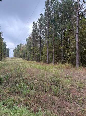
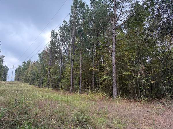
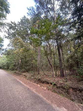
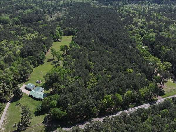
Brightstar, AR land for sale
Price
Size
Tags
Save
35 properties
For you
Newest
Price: high to low
Price: low to high
Size: large to small
Size: small to large
Updated
28 days
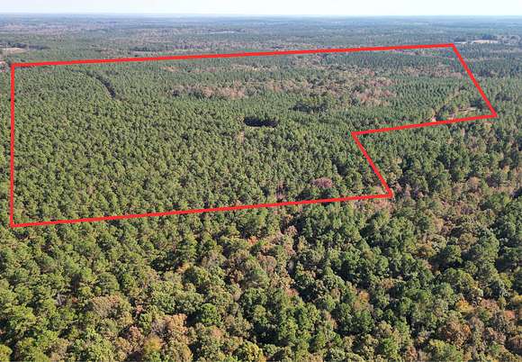
$1,575,000
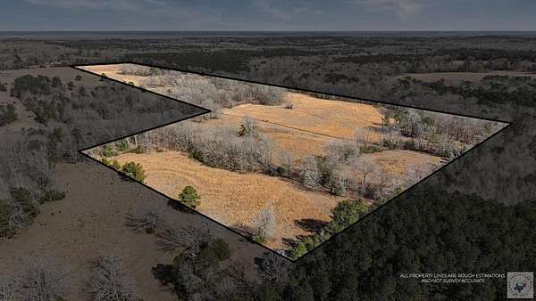
420 acres
Cass County
Queen City, TX 75572
4 days
$949,500
160 acres
Miller County
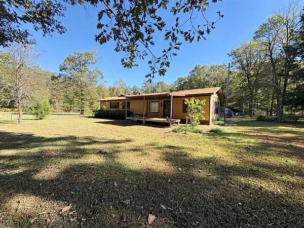
3 bd, 2 ba
•
1,940 sq ft
Doddridge, AR 71834
2 months ago
$999,900
154 acres
Cass County
Queen City, TX 75572
5 months ago
$995,000
173 acres
Cass County
Atlanta, TX 75556
$20k drop • Mar 26
$239,900
4.44 acres
Cass County
2 bd, 2 ba
•
2,092 sq ft
Atlanta, TX 75551
2 years ago
$554,850
144 acres
Cass County
Bloomburg, TX 75556
$13.1k drop • Mar 6
$496,900
70 acres
Miller County
2 bd, 2 ba
•
1,446 sq ft
Doddridge, AR 71834
$25k drop • Feb 1
$625,000
15 acres
Miller County
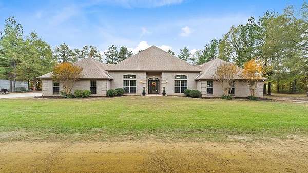
4 bd, 2.5 ba
•
3,288 sq ft
Fouke, AR 71837
5 months ago
$1,995,000
100 acres
Cass County
Atlanta, TX 75556
$2.5k drop • Mar 9
$49,500
6.24 acres
Caddo Parish
Rodessa, LA 71069
$3k drop • Mar 10
$95,000
9.15 acres
Miller County
Doddridge, AR 71834
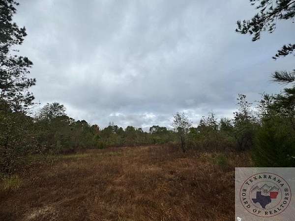
37 days ago
$139,950
30.1 acres
Miller County
Doddridge, AR 71834
$10k drop • Jan 21
$259,900
26.2 acres
Cass County
2 bd, 1.5 ba
•
1,644 sq ft
Atlanta, TX 75551
9 months ago
$2,495,000
273 acres
Cass County
Atlanta, TX 75551
4 months ago
$165,600
36 acres
Miller County
Doddridge, AR 71834
$15k drop • Mar 12
$279,600
73.7 acres
Cass County
Bloomburg, TX 75556
49 days ago
$50,000
20 acres
Miller County
Doddridge, AR 71834
4 months ago
$183,260
26.2 acres
Miller County
Doddridge, AR 71834
3 months ago
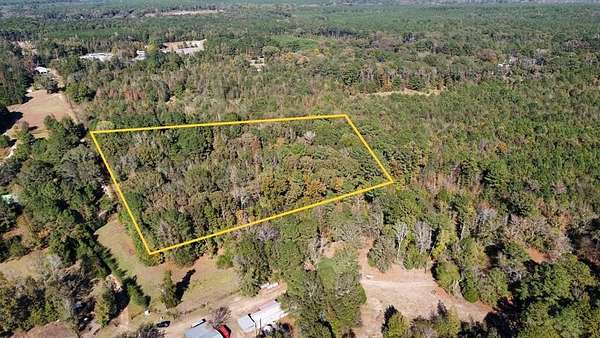
$73,500
10.5 acres
Miller County
Doddridge, AR 71834
4 months ago
$91,630
13 acres
Miller County
Doddridge, AR 71834
6 months ago
$50,680
12.7 acres
Miller County
Doddridge, AR 71834
$4.9k drop • Feb 19
$65,000
13.4 acres
Cass County
Atlanta, TX 75551
10 months ago
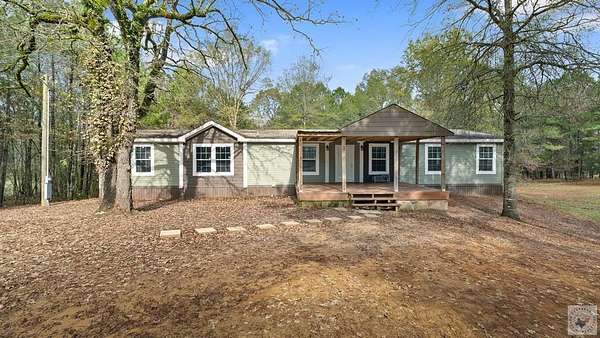
$949,999
8.12 acres
Cass County
4 bd, 2 ba
•
4,165 sq ft
Bloomburg, TX 75556
5 months ago
$319,400
47.8 acres
Cass County
— sq ft
Bloomburg, TX 75556
3 months ago
$108,500
15.5 acres
Miller County
Doddridge, AR 71834
22 months ago
$52,000
8 acres
Miller County
Doddridge, AR 71854
22 months ago
$17,000
2 acres
Miller County
Doddridge, AR 71854
22 months ago
$40,000
6 acres
Miller County
Doddridge, AR 71854
34 days ago
$578,160
105 acres
Cass County
Atlanta, TX 75551
9 months ago
$297,000
54.6 acres
Cass County
Atlanta, TX 75551
Pending
Under contract
$169,000
11 acres
Miller County
3 bd, 3 ba
•
1,842 sq ft
Doddridge, AR 71834
16 months ago
$45,000
7.3 acres
Cass County
Bloomburg, TX 75556
Pending
Under contract
$121,870
34.8 acres
Miller County
Doddridge, AR 71834
Pending
Under contract
$215,000
3.14 acres
Miller County
4 bd, 2 ba
•
2,280 sq ft
Doddridge, AR 71834
7 months ago
$100,720
12.7 acres
Cass County
Bloomburg, TX 75556
Map