Skip to main content
Skip to navigation
Properties
Find agent
Post listing
Log in
•
Sign up
Search here
List
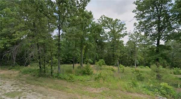
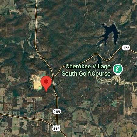
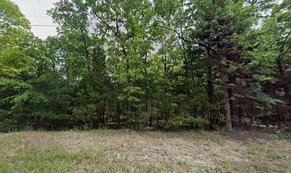
Horseshoe Bend, AR land for sale
Price
Size
Tags
Save
328 properties
Updated
For you
Newest
Price: high to low
Price: low to high
Size: large to small
Size: small to large
Updated
15 months ago
$7,300
0.3 acres
Izard County
Horseshoe Bend, AR 72512
20 hours
$400,000
6.59 acres
Fulton County
Salem, AR 72576
Featured
15 hours ago
$3,500
0.32 acres
Izard County
Horseshoe Bend, AR 72512
27 days
$724,500
37 acres
Sharp County
3 bd, 3 ba
•
3,534 sq ft
Evening Shade, AR 72532
57 days ago
$549,900
200 acres
Izard County
1 bd, 1 ba
•
500 sq ft
Franklin, AR 72512
2 months ago
$995,000
110 acres
Sharp County
3 bd, 3 ba
•
3,534 sq ft
Evening Shade, AR 72532
2 months ago
$2,485,000
750 acres
Fulton County
4 bd, 3 ba
•
2,289 sq ft
Viola, AR 72583
2 months ago
$2,400
0.3 acres
Izard County
Horseshoe Bend, AR 72512
$39.9k drop • Jan 1
$160,000
6.5 acres
Fulton County
Glencoe, AR 72539
4 months ago
$32,500
1 acre
Izard County
Horseshoe Bend, AR 72512
4 months ago
$49,900
3 acres
Izard County
Horseshoe Bend, AR 72512
4 months ago
$14,900
1.2 acres
Izard County
Horseshoe Bend, AR 72512
3 months ago
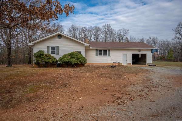
$415,000
85 acres
Izard County
3 bd, 1 ba
•
1,250 sq ft
Franklin, AR 72536
1 day
$399,900
101 acres
Izard County
Wiseman, AR 72587
1 day
$15,000
2.69 acres
Sharp County
Ash Flat, AR 72513
1 day
$14,900
0.47 acres
Fulton County
Cherokee Village, AR 72529
1 day
$190,000
4.78 acres
Sharp County
2 bd, 1 ba
•
2,628 sq ft
Ash Flat, AR 72513
24 days
$5,550
0.42 acres
Izard County
Horseshoe Bend, AR 72512
Featured
25 days ago
$3,200
0.24 acres
Izard County
Horseshoe Bend, AR 72512
Featured
25 days ago
$2,900
0.22 acres
Izard County
Horseshoe Bend, AR 72512
Featured
25 days ago
$2,900
0.21 acres
Izard County
Horseshoe Bend, AR 72512
Featured
25 days ago
$2,900
0.21 acres
Izard County
Horseshoe Bend, AR 72512
Featured
25 days ago
$3,200
0.37 acres
Izard County
Horseshoe Bend, AR 72512
Featured
2 days ago
$2,750
0.3 acres
Izard County
Horseshoe Bend, AR 72512
Featured
2 days ago
$2,250
0.41 acres
Izard County
Horseshoe Bend, AR 72512
8 days
$5,490
0.93 acres
Izard County
Horseshoe Bend, AR 72512
$200k drop • Nov 19
$2,600,000
75 acres
Izard County
5 bd, 5 ba
•
12,095 sq ft
Melbourne, AR 72556
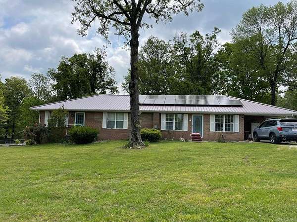
3 days
$199,000
15 acres
Sharp County
3 bd, 2 ba
•
1,380 sq ft
Evening Shade, AR 72532
Featured
3 days ago
$2,700
0.37 acres
Izard County
Horseshoe Bend, AR 72512
Featured
3 days ago
$1,980
0.25 acres
Izard County
Horseshoe Bend, AR 72512
Featured
3 days ago
$2,800
0.33 acres
Izard County
Horseshoe Bend, AR 72512
Featured
3 days ago
$2,580
0.31 acres
Izard County
Horseshoe Bend, AR 72512
Featured
3 days ago
$3,380
0.41 acres
Izard County
Horseshoe Bend, AR 72512
6 days
$3,000
0.23 acres
Fulton County
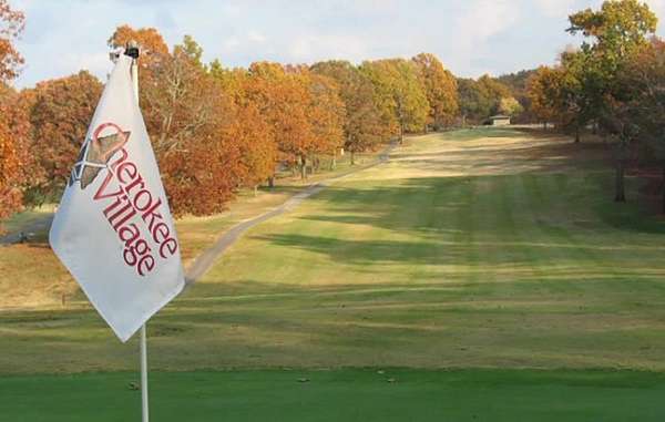
Cherokee Village, AR 72529
Featured
28 days ago
$3,499
0.33 acres
Izard County
Horseshoe Bend, AR 72512
Featured
46 days ago
$9,900
1.13 acres
Izard County
Horseshoe Bend, AR 72512
Featured
28 days ago
$3,299
0.28 acres
Izard County
Horseshoe Bend, AR 72512
Featured
46 days ago
$3,299
0.3 acres
Izard County
Horseshoe Bend, AR 72512
22 months ago
$5,000
0.38 acres
Izard County
Horseshoe Bend, AR 72512
11 months ago
$3,000
0.31 acres
Izard County
Horseshoe Bend, AR 72512
6 months ago
$5,500
0.35 acres
Izard County
Horseshoe Bend, AR 72512
2 months ago
$7,500
0.45 acres
Izard County
Horseshoe Bend, AR 72512
5 months ago
$4,000
0.62 acres
Fulton County
Cherokee Village, AR 72529
21 days
$9,950
0.81 acres
Izard County
Horseshoe Bend, AR 72512
$25.1k drop • Jan 1
$349,900
5 acres
Sharp County
3 bd, 3 ba
•
2,300 sq ft
Ash Flat, AR 72513
6 months ago
$6,000
0.37 acres
Izard County
Horseshoe Bend, AR 72512
8 months ago
$12,500
0.96 acres
Izard County
Horseshoe Bend, AR 72512
31 days ago
$7,500
0.35 acres
Izard County
Horseshoe Bend, AR 72512
4 months ago
$1,095,000
237 acres
Sharp County
Evening Shade, AR 72532
$20k drop • Jan 1
$129,500
35.3 acres
Izard County
Violet Hill, AR 72584
1
2
3
4
…
7
1-50 of 328 properties
Map