Skip to main content
Skip to navigation
Properties
Find agent
Post property
Log in
•
Sign up
Search here
List
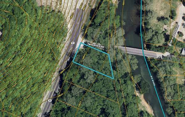
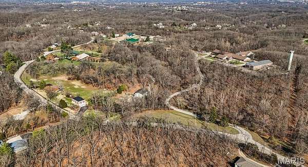
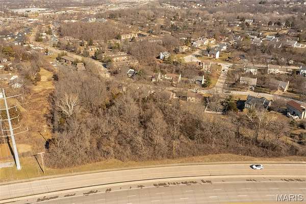
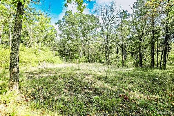
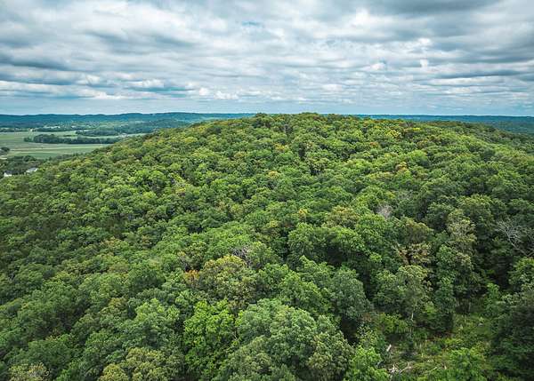
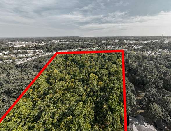
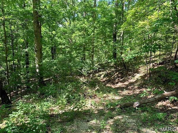
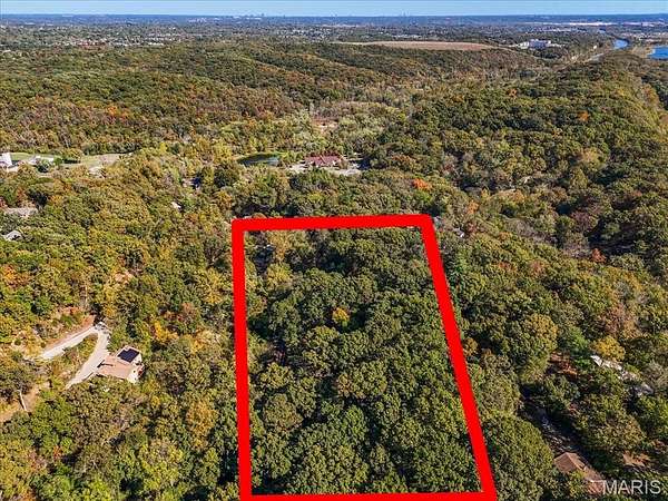
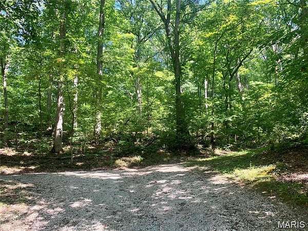
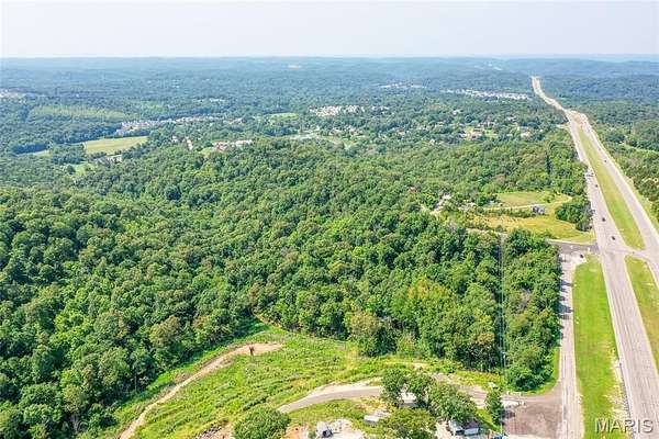
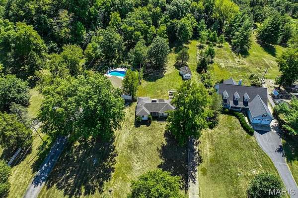
High Ridge, MO land for sale
Price
Size
Tags
Save
102 properties
For you
Newest
Price: high to low
Price: low to high
Size: large to small
Size: small to large
Updated
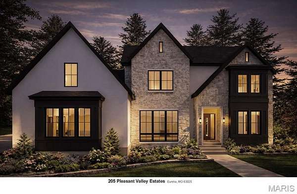
Featured
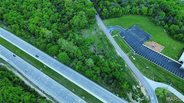
23 days ago
$12,438
0.71 acres
Jefferson County
Eureka, MO 63025
$75k drop • Mar 24
$775,000
13.4 acres
Jefferson County
Imperial, MO 63052
13 days
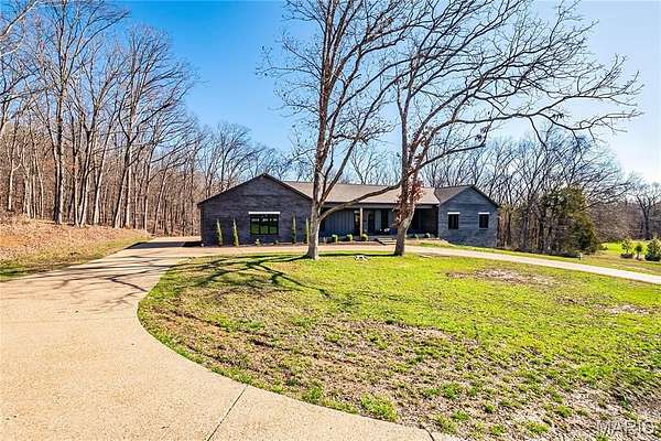
$675,000
4 acres
Jefferson County
4 bd, 3 ba
•
2,196 sq ft
Cedar Hill, MO 63016
$15k drop • Mar 31
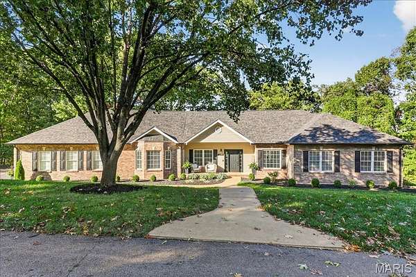
$669,900
5 acres
Jefferson County
5 bd, 3.5 ba
•
4,551 sq ft
Imperial, MO 63052
2 months ago
$945,900
13.7 acres
Saint Louis County
3 bd, 4 ba
•
4,365 sq ft
Eureka, MO 63025
7 hours
$725,000
3 acres
Saint Louis County
5 bd, 5 ba
•
3,233 sq ft
Wildwood, MO 63025
26 days
$599,000
3.13 acres
Jefferson County
4 bd, 3 ba
•
1,942 sq ft
Eureka, MO 63025
29 days
$450,000
2.6 acres
Jefferson County
4 bd, 2.5 ba
•
3,742 sq ft
Fenton, MO 63026
8 days
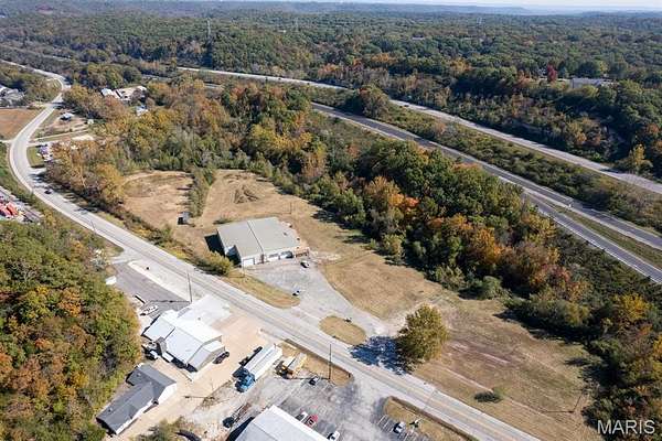
$269,900
15.9 acres
Jefferson County
High Ridge, MO 63049
20 days
$99,000
3 acres
Saint Louis County
Wildwood, MO 63021
2 months ago
$940,000
2.83 acres
Saint Louis County
Ballwin, MO 63021
6 months ago
$149,900
3 acres
Jefferson County
Byrnes Mill, MO 63051
2 months ago
$150,000
0.46 acres
Saint Louis County
St. Louis, MO 63127
3 months ago
$110,000
10 acres
Jefferson County
House Springs, MO 63051
3 months ago
$42,500
1.13 acres
Jefferson County
Byrnes Mill, MO 63025
6 months ago
$98,000
1.62 acres
Jefferson County
Imperial, MO 63052
2 months ago
$60,000
6.16 acres
Jefferson County
House Springs, MO 63051
3 months ago
$155,000
1.68 acres
Jefferson County
High Ridge, MO 63049
5 months ago
$84,900
0.88 acres
Jefferson County
House Springs, MO 63051
2 years ago
$250,000
14 acres
Jefferson County
High Ridge, MO 63049
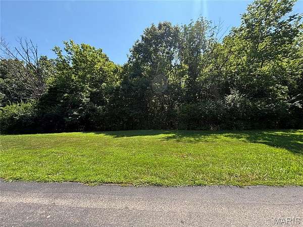
33 days ago
$75,000
1.39 acres
Jefferson County
Imperial, MO 63052
33 days ago
$70,000
1.25 acres
Jefferson County
Imperial, MO 63052
$15k drop • Mar 31
$84,900
1.56 acres
Jefferson County
Cedar Hill, MO 63016
$1.5k drop • Mar 13
$18,000
0.28 acres
Saint Louis County
Ballwin, MO 63021
33 days ago
$65,000
0.84 acres
Jefferson County
Imperial, MO 63052
50 days ago
$965,000
46.4 acres
Saint Louis County
Eureka, MO 63069
8 months ago
$54,900
7.36 acres
Jefferson County
House Springs, MO 63051
59 days ago
$89,900
2.19 acres
Jefferson County
House Springs, MO 63051
$10k drop • Jan 25
$330,000
2 acres
Jefferson County
3 bd, 2 ba
•
3,110 sq ft
House Springs, MO 63051
2 months ago
$400,000
40 acres
Jefferson County
House Springs, MO 63051
7 months ago
$145,000
0.29 acres
Saint Louis County
Ballwin, MO 63021
14 months ago
$600,000
3.35 acres
Jefferson County
Byrnes Mill, MO 63051
9 months ago
$60,000
0.14 acres
Saint Louis County
St. Louis, MO 63122
$96.1k drop • Mar 27
$398,500
4.56 acres
Jefferson County
Arnold, MO 63010
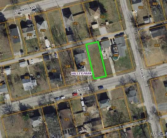
32 days ago
$25,900
0.15 acres
Saint Louis County
Valley Park, MO 63088
55 days ago
$1,700,000
3.36 acres
Saint Louis County
5 bd, 4.5 ba
•
5,484 sq ft
Eureka, MO 63025
$2.46m drop • Feb 24
$2,500,000
50.7 acres
Jefferson County
House Springs, MO 63049
6 months ago
$399,000
1 acre
Saint Louis County
Sunset Hills, MO 63127
24 days
$38,500
0.36 acres
Saint Louis County
Meramec Township, MO 63026
6 months ago
$1,799,000
5.43 acres
Jefferson County
22,000 sq ft
Cedar Hill, MO 63016
2 years ago
$1,400,000
5 acres
Saint Louis County
Fenton, MO 63026
4 months ago
$299,000
0.27 acres
Saint Louis County
Kirkwood, MO 63122
8 months ago
$395,000
14 acres
Saint Louis County
Wildwood, MO 63025
8 months ago
$26,000
1 acre
Jefferson County
Fenton, MO 63026
4 months ago
$5,000
0.56 acres
Jefferson County
Cedar Hill, MO 63016
$17.5k drop • Mar 12
$137,500
0.27 acres
Saint Louis County
Manchester, MO 63021
9 months ago
$689,900
8 acres
Jefferson County
High Ridge, MO 63049
22 months ago
$49,500
0.27 acres
Saint Louis County
Valley Park, MO 63088
4 months ago
$285,000
1.35 acres
Saint Louis County
Ballwin, MO 63021
12 months ago
$19,900
1.4 acres
Jefferson County
House Springs, MO 63051
1
2
3
1-50 of 102 properties
Map